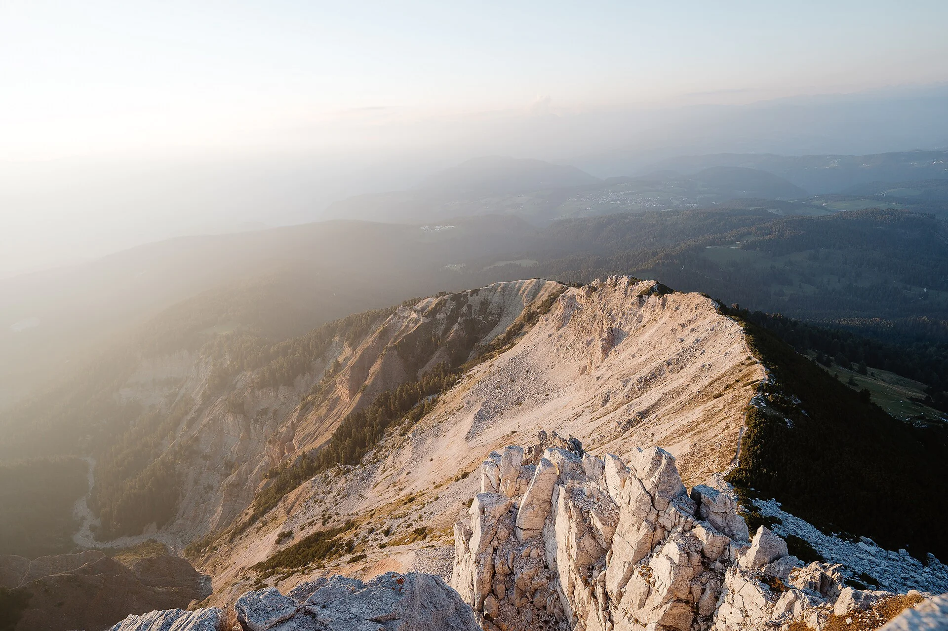
On the Weißhorn, with impressive views of the GEOPARC Bletterbach World Natural Heritage Site and the surrounding Dolomite peaks. The surroundings of the Weißhorn, the local mountain of the Unterland, are geologically extremely interesting. A blanket of white shell limestone scree (glacial deposit) characterises the picture. Botanically, the area can also hold its own.
Itinerary
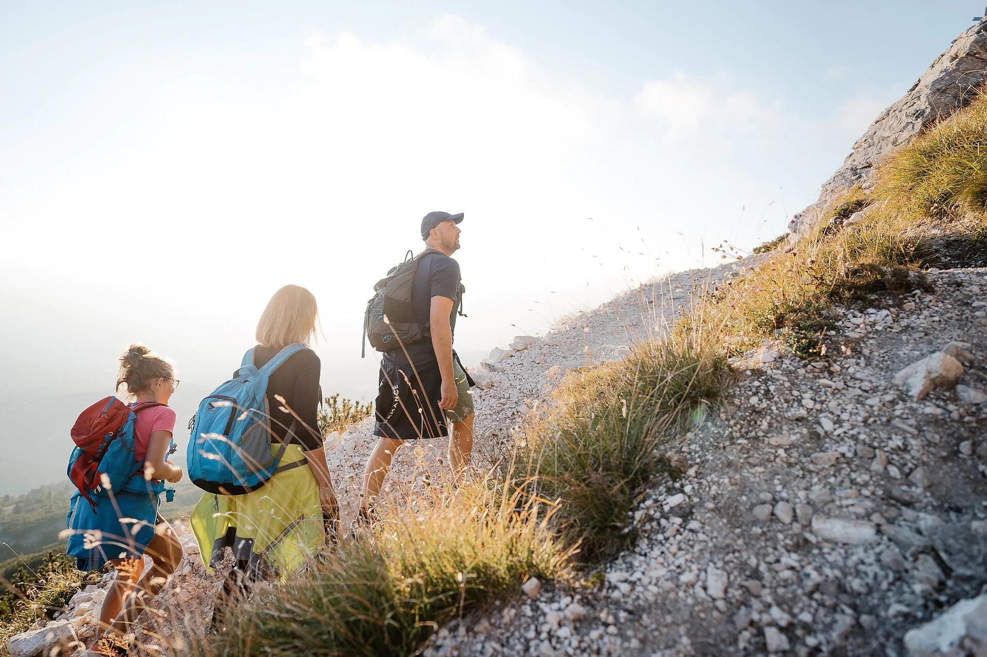
From the car park in front of the village entrance to Oberradein, we first walk along the asphalt road for a while. Before the first group of houses, we turn right and reach the well-known Zirmersteig trail (no. 12). The narrow, partly exposed trail always leads along the ridge of the famous Bletterbach gorge and leads directly to the summit of the Weißhorn. The last section is quite steep and stony. Once at the top, the view of the Dolomite mountains all the way to the Ortler massif is rewarding. A 360° unique panorama in the midst of the World Natural Heritage opens up to the hiker. The descent is towards the Gurndin Alm (refreshment stop) and on the Blauweg (no. 8) and the Forstweg no. 7 back to the starting point.