Südtirol Guide App Logo
Skip to content

added to favourites

removed from favourites

Oops! Something went wrong. Try again

Your account is being created

Your account has been successfully created and you are now logged in

You’ve been logged in successfully!

Your account was created successfully, but we couldn't log you in automatically

You are logged out.

Classic and skating

Joch cross-country trail

Kastelruth/Castelrotto, Dolomites Region Seiser Alm
from center

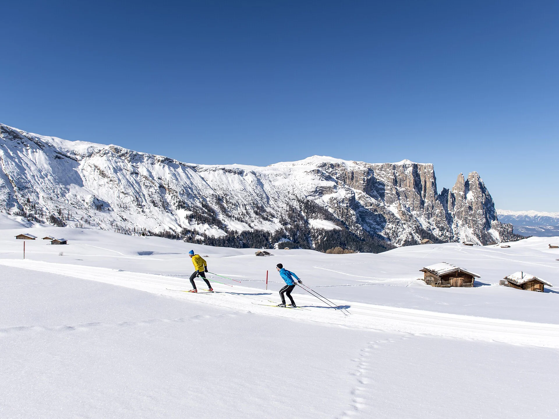
The longest and most challenging cross-country trail of the Seiser Alm leads out from the Cross-Country Centre in Ritsch through vast Alpine meadows in a steep uphill to the mountain station of the Panorama chairlift. Then, in numerous curves, cross the Palude di Ladins/Ladinser Moos and continue on towards Joch and Spitzbühl, past the Laurinhütte hut and back to Ritsch. With the nearby Dolomite peaks of the Langkofel, Plattkofel and the Schlern massif, the views along this trail are breathtaking.

Distance 15.4 Km
Duration 0h:00 min
Elevation gain 350 m
Elevation loss 336 m
Highest point 2063 m
Lowest point 1864 m
Details

The valley station of the Seiser Alm Aerial Cableway can be easily reached via the following connections:

  • Bus line 1 from Seis am Schlern
  • Bus line 2 from Völs am Schlern
  • Bus line 3 from Kastelruth
  • Line 170 from Bolzano/Bozen or Bressanone/Brixen main station to the Seiser Alm Aerial Cableway stop.
Directions
The road to the landscape conservation area Seiser Alm is closed to private traffic from 9.00am to 5.00pm. During this time you can get to the Seiser Alm by the Seiser Alm cable carr from Seis or by bus from Kastelruth.
Accommodation image
Finish your booking for
Accommodation name
0  room rooms Not selected No board Breakfast Half board Full board All inclusive
Total price: 0 €
(incl. VAT / excl. local tourism tax)