On the Merano High Mountain Trail (trail n° 24), the entire Texel Group Nature Park can be circumnavigated in a hiking tour of four to six days. The best time to hike the Merano High Mountain Trail (trail n° 24) is: The northern part is a summer tour, walkable from the end of June to the beginning of October (depending on snow conditions). The southern and eastern sections can often be walked all year round and are suitable for one-day tours. The numerous typical South Tyrolean mountain inns and refuges inviting you to rest and have a snack, the varied world of peaks and the magnificent mountain lake landscape of the Spronserseen lakes make the Merano High Mountain Trail in the Texel Group Nature Park a unique hiking area!
Start of the Tour
Top station of the Texelbahn Cable Car
End of the Tour
Top station of the Unterstell Cable Car near Naturns
Route
The Texelbahn Cable Car takes you up to an altitude of 1,500 m.
Tip: Use the combined ticket, which includes the ascent with the Texelbahn and the descent with the Unterstell Cable Car.
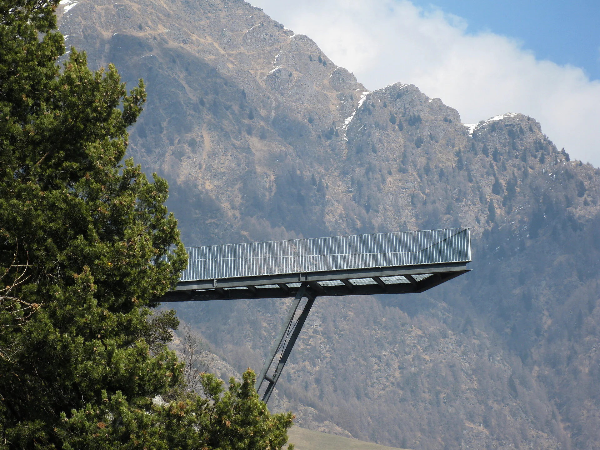
From the top station, the Merano High Path (trail marker no. 24) leads westwards through the Schindelbach Valley, past old farms, to the Lahnbach Valley, also known as the 1,000 Steps Gorge. For those who prefer not to descend and ascend the entire gorge via stairs, the suspension bridge offers a shortcut.
After the gorge, the path runs through meadows and past the traditional farms of the Naturns Sonnenberg. Most of these farms offer rest stops with regional specialties. Finally, trail no. 24B leads to the top station of the Unterstell Cable Car, which takes you comfortably down to the valley.
Return: Take bus line 266 from the Unterstell Naturns bus stop back to the Texelbahn valley station in Partschins.
Mountain trail of medium difficulty, some stages with staircases and rope protection!
Timetable search: https://www.suedtirolmobil.info/en/

To complete your subscription, open the email we just sent you and click on the confirmation link.
Can’t find it? Check your spam folder too.