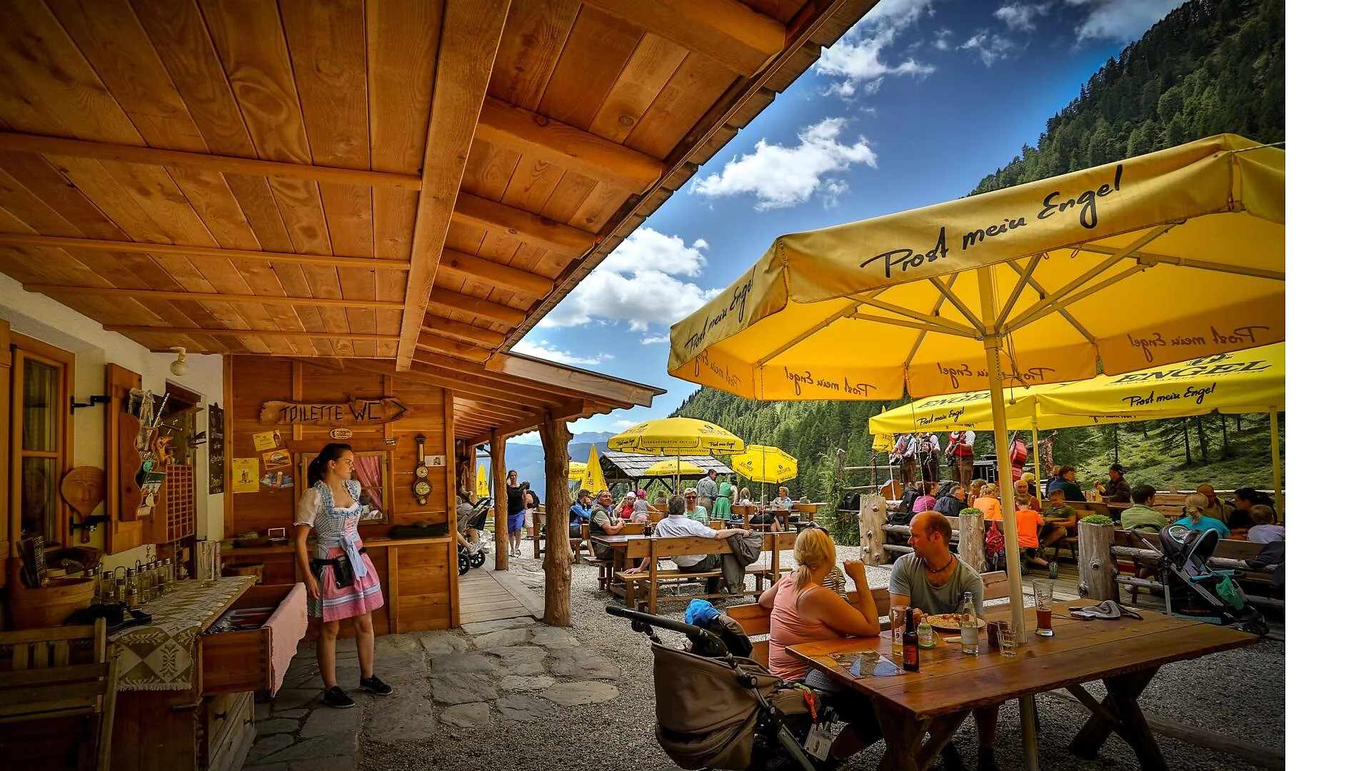
The hike to the Astner Bergalm in Terenten starts at the parking lot of the Tiefrastenhütte. From there, follow the "Lerchnweg" trail, which takes you to the alpine hut in about one hour. This pleasant hike involves an elevation gain of approximately 200 meters. The path is well-maintained and leads through a picturesque landscape of meadows and forests. Along the way, you’ll enjoy beautiful views of the surrounding mountains. The Astner Bergalm is a popular destination for families and hikers seeking a leisurely outing in nature. Once at the top, you can indulge in local specialties at the hut and enjoy the peacefulness of the mountains.
Coming from Innsbruck/Brenner (A): Drive on the Highway of Brenner (A22) until the exit Brixen/Pustertal, then go on along the SS49-E66 for about 50kms until you arrive in Olang/Valdaora.
Coming from Lienz (A): You can reach us also padding by Lienz in Westtyrol (A). You have to cross the Austrian-Italian border between Ahrnbach and Winnebach (B100-E66) and drive on the SS46-E66 until Olang/Valdaora
Coming from Bozen: Highway of Brenner (A22) until the exit Brixen/Pustertal, then go on along the SS49-E66 for about 50kms until you arrive in Olang/Valdaora.

To complete your subscription, open the email we just sent you and click on the confirmation link.
Can’t find it? Check your spam folder too.