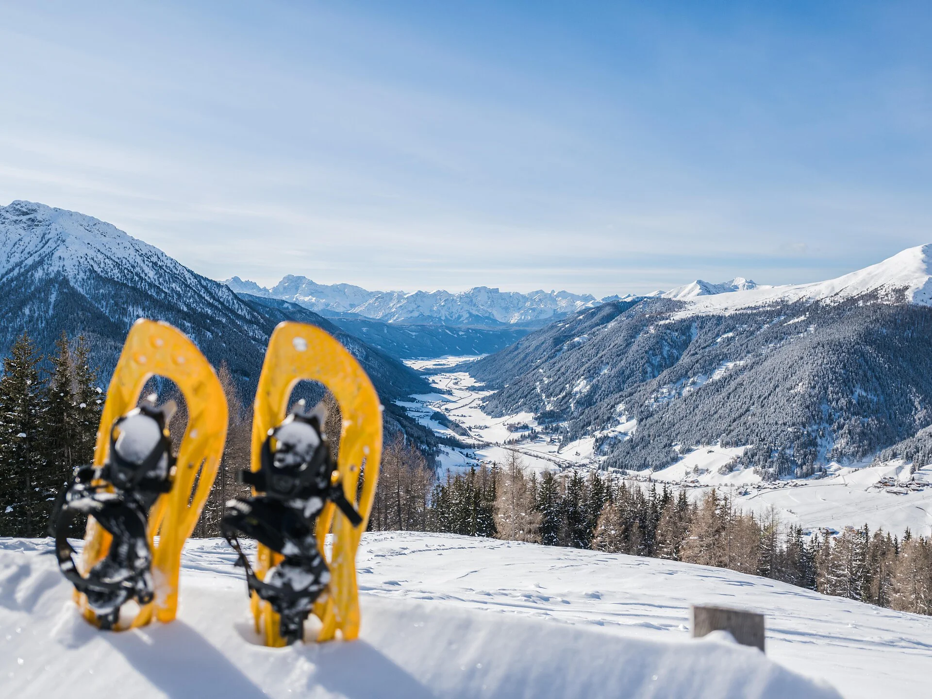
The classic Val Casies Valley ski and snowshoe hike through the Pfoital and to the Hochkreuzspitze
Starting point: Head of the valley in St. Magdalena in the Gsieser Valley 1465 m
Hiking time: 4 ½ hours
Level of difficulty: moderate – difficult; for average skiers, the route offers a wide and open terrain with only a few steep slopes that only require extra caution following fresh snow
Altitude difference: 1274 m
Slope exposure: southwest
a) From the head of the valley in St. Magdalena in the Gsieser Valley at 1465 m, follow the signpost number 12 over the new bridge, turn left, after the Schlosser Hof left again and after just a few metres keep right and turn into the old “Viehtrieb” (cattle drive), enclosed by fences and shrubs. Ever so often you come across small glades that offer beautiful photo scenes of the valley and the impressive Dolomites of Prags in the southwest. After about 90 minutes you reach the fork (1930 m) to the Uwaldalm (rest point) – from there it is another 30 minutes to the just mentioned Alm. b) shortcut: approximately 100 metres before reaching the bridge of the Pfoi Stream, leave the forest road number 12 by turning right and hike past the big notice board into the woods. There, cross the narrow bridge at 1522 m that has a wayside cross – now you are already on the old Pfoi trail that takes you along the left side of the stream to the forest road number 12 at 1800 m and on to the Uwaldalm at 2042 m (rest point) in a long steep climb. Now, climb the hilly landscape ahead of you and hike predominately along the mountain ridge up to the so-called plate. The route now takes you partly across flat and partly over rocky passages (perhaps remove skis along some passages). At ca. 2500 m cross the slopes towards the right and get to the already familiar route just beneath the Pfoi Lakes, which takes you up to the Hochkreuz. For whoever does not want to cross the transverse slope, follow the ridge and reach directly the middle Hochkreuz at 2702 m, and a little further the Hochkreuzspitze at 2739 m. The best descent or downhill run is either via the Pfoital or the ascent route.

To complete your subscription, open the email we just sent you and click on the confirmation link.
Can’t find it? Check your spam folder too.