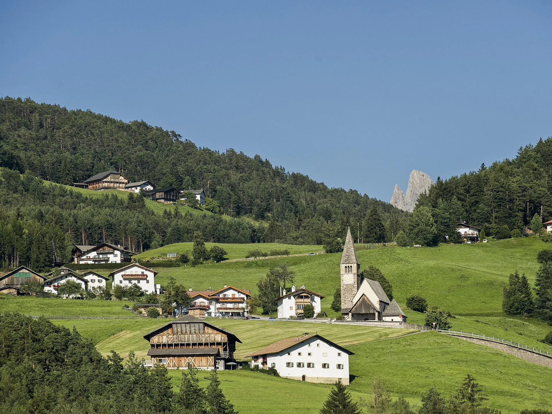
This hike takes us through wonderful meadow landscapes to the Panidersattel. Here there is a wonderful view of the Grödnertal, the Geislerspitzen and the Sella massif. In addition, there is always a magnificent view of Kastelruth.
In the 1900s, a bear trap which still survives to this day was built on the Panider Sattel/Passo Pinei. To lure the bear into the pit, a sheep or goat was tied to a nearby stake; the pit was covered over with branches or twigs such that, on approaching its prey, the bear would fall into the pit and be unable to escape.
This hiking tour can be found in the family hiking booklet “Out and About with Nix the Witch”.
From Kastelruth village centre, the initial stretch leads along the Bühlweg trail (no. 10) to the Föstlhof farm, where you cross the stream, and continue onwards to the Bremicher Platzl clearing. From here, a brief stretch leads southwest and past the Lavoglerhof farm, followed by a gentle ascent to St. Michael and the church of the same name. Trail no. 10 continues on, slightly uphill, until you come to the Michaeler Weiher lake, where the left fork leads onto hiking trail no. 10a to the legendary „Bärenfalle“ bear trap. From here, the trail leads through the wood and on to the Panider Sattel, which boasts magnificent views of the surrounding area.
If you would prefer not to continue the hike, you can take the bus no. 172 back to Kastelruth from here. Otherwise, you can take trail no. 7 to the Wasserebene sports field, followed by trail no. 8 past Tiosels and on to Kastelruth.
Refreshment stop along the hiking trail. Not pram-friendly.
Please check the opening hours of the huts and restaurants: www.seiseralm.it/restaurants
The starting point of the tour or the sight is easily and comfortably accessible by public transport:
The bus no. 170 will take you from Seis or Völs am Schlern to the starting point in Kastelruth.

To complete your subscription, open the email we just sent you and click on the confirmation link.
Can’t find it? Check your spam folder too.