Skip to content

added to favourites

removed from favourites

Oops! Something went wrong. Try again

Your account is being created

Your account has been successfully created and you are now logged in

You’ve been logged in successfully!

Your account was created successfully, but we couldn't log you in automatically

You are logged out.

Long-distance cycle track

Cycling through Val Venosta Via Claudia Augusta

Sonnenberg/Montesole- Partschins/Parcines, Partschins/Parcines, Meran/Merano and environs
from center

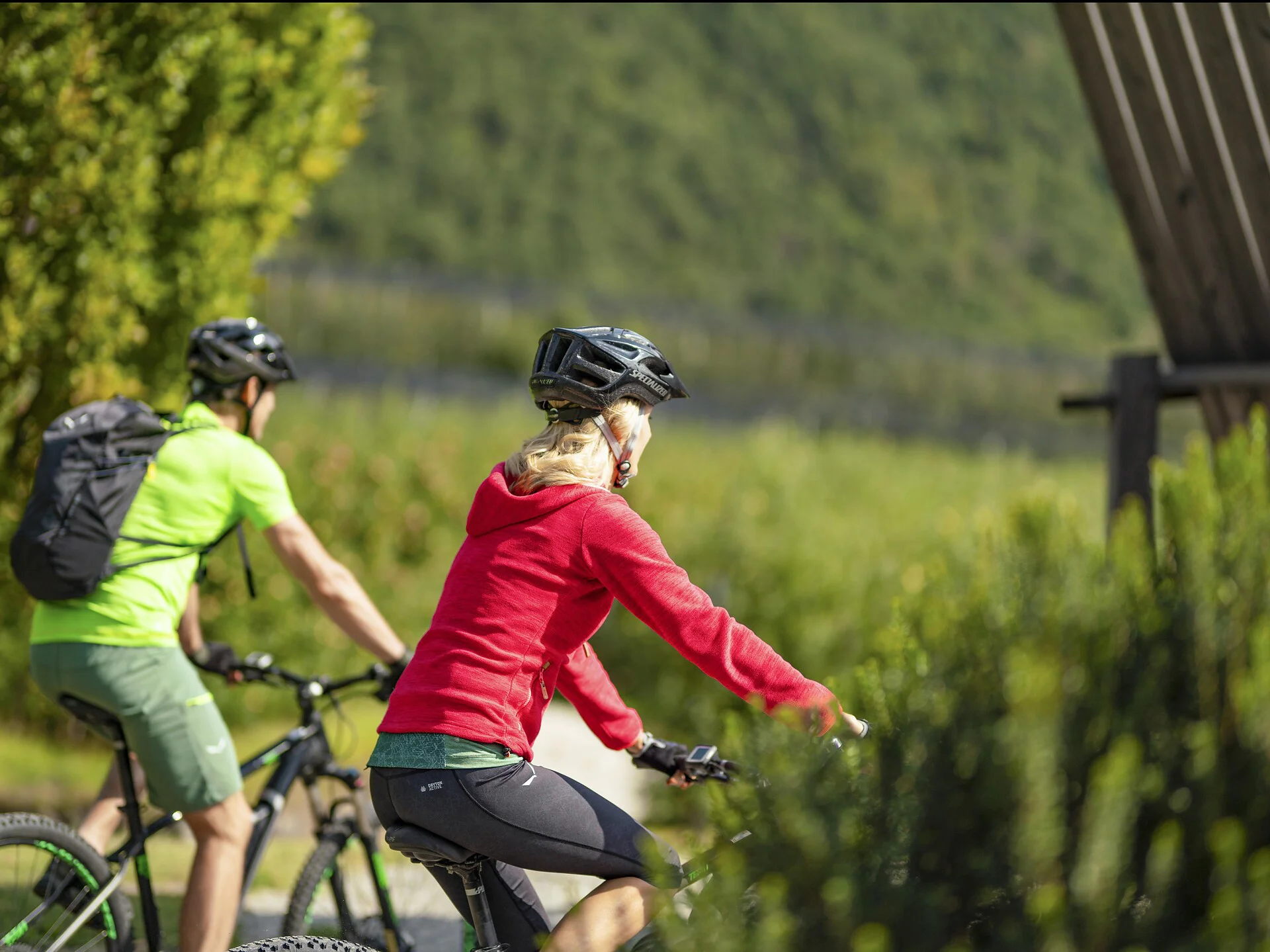
The 80 km long Val d'Adige/Etschtal Cycle Path (Etschradweg) leads along the Via Claudia Augusta, an ancient Roman road. 

The trail is mainly flat or downhill. The fantastic bike trail network in the Val Venosta/Vinschgau valley makes for relaxed biking on a good surface, i.e. either asphalt or rolled gravel.

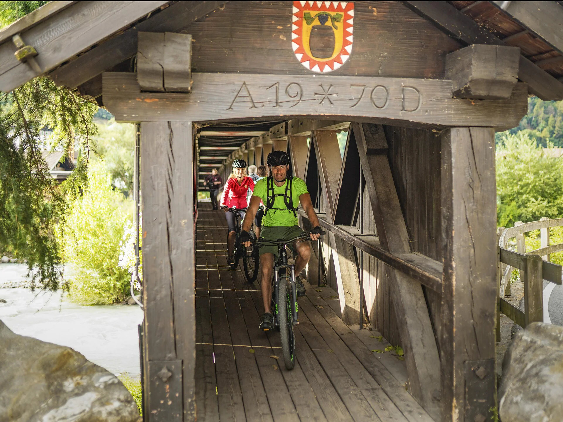
The Val d’Adige Cycle Path (Etschradroute) is especially popular with cyclists looking for a moderate challenge. It is also possible to rent bikes at various train stations and to return them elsewhere, meaning that you do not have to bring your own bike with you. The bike tour can also be shortened or simplified at any time by using the Vinschgerbahn train.

From the Adige Valley to the mountains, visitors can cycle with constant temperatures through shady forests and flowering meadows, far away from the hustle and bustle of traffic.


Itinerary
Beginning at the Reschensee lake, the bike trail leads past the tower in the lake, along the bank of the Haidersee lake, via Burgusio/Burgeis with a view of Malles/Mals and its seven Romanesque churches and through the medieval town of Glorenza/Glurns. From there, cycle on flat ground to Prato/Prad, the entrance to the Stilfserjoch National Park. Continue through the “marble village” of Lasa/Laas, downhill to Covelano/Göflan and through orchards to Laces/Latsch. From Laces, the stretch leads on past Kastelbell Castle (Schloss Kastelbell) and the early-Christian St Prokulus Church (Prokuluskirche) in Naturno/Naturns. The trail comes to an end in Merano/Meran.
Distance 79.1 Km
Ascent 1432 m
Descent 210 m
Highest point 1532 m
Lowest point 343 m
Details
Our tip: BikemobilCard - one ticket for all means of transport!
Travel around South Tyrol with public means of transport and rent a bike with just one ticket!
The BikemobilCard allows you to make full use of South Tyrol's Integrated Public Transport network on one, three or seven consecutive days. In addition, on one day of your choice during the validity period of your BikemobilCard you may rent a bike in one of the railway stations’ bike rentals or in various further rental points dislocated throughout the territory and carrying the "Bici Alto Adige" logo. In every bike rental participating in the initiative it is possible to rent and return bikes. Feel free to return your bike at a rental point differing from that of departure.
Accommodation image
Finish your booking for
Accommodation name
0  room rooms Not selected No board Breakfast Half board Full board All inclusive
Total price: 0 €
(incl. VAT / excl. local tourism tax)