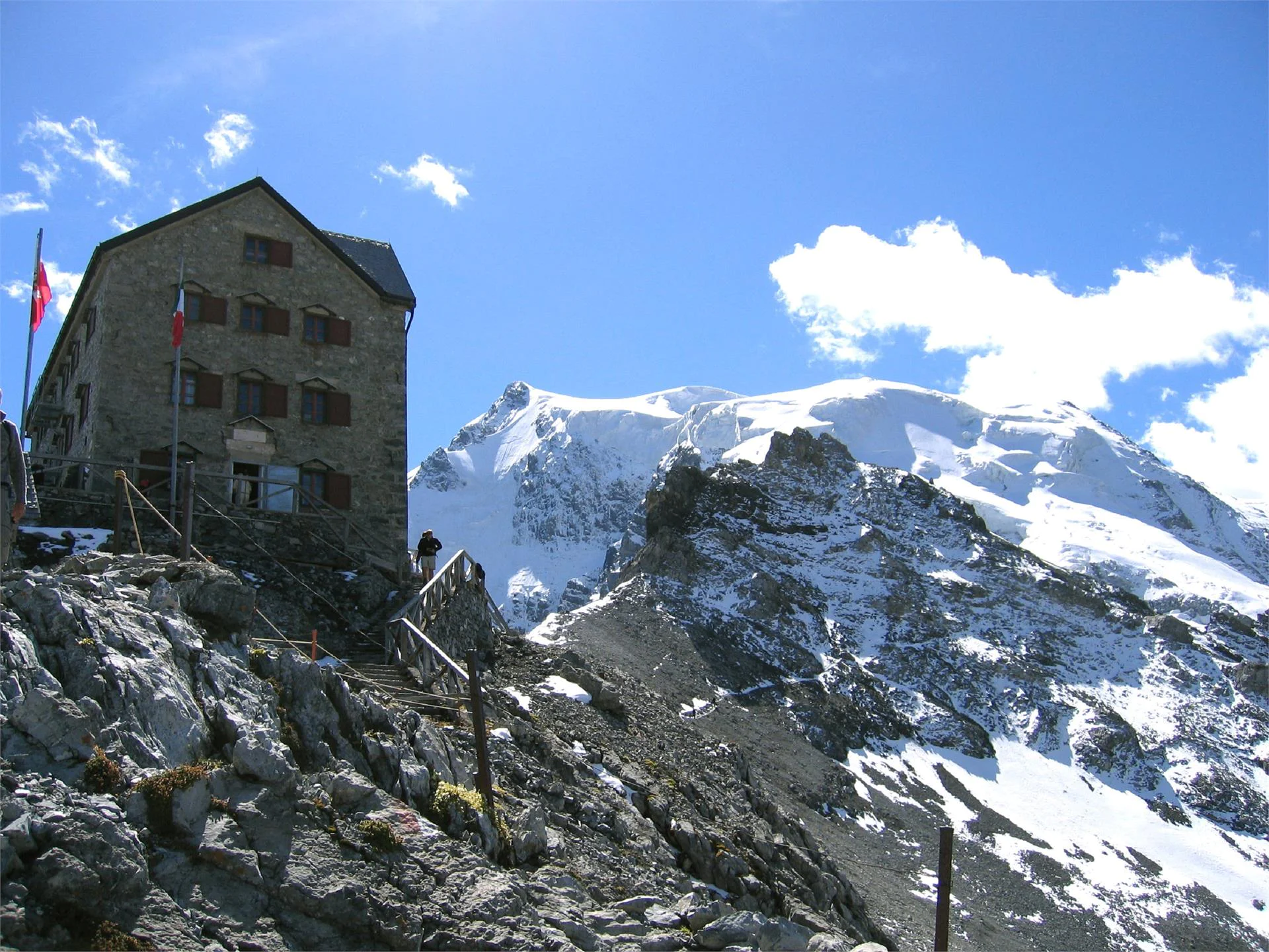
The Julius Payer Hut was named after Julius Payer, the famous cartographer and polar explorer who was the first to map the entire Ortler area. The hut has been managed by the Wöll Hermann family for over 20 years. It is situated in an extremely exposed position on the Tabaretta ridge at 3,029m altitude.
Starting point is at the church of Solda. From there follow path no. 4 to the Rif. Payer.
All the informations about the hike is without guarantee. Please enquire about the current situation at the tourist office. Hiker should look at the weather forecast and plan the tour as best as possible.
If you do not want to travel to Solda by private car, you can use the pubblic transport. With the bus line 271 you get from Prato allo Stelvio/Spondigna to Solda in about half an hour. The bus stop is located directly at the tourist office Solda.
From Spondigna/Spondinig via the street to the Stelvio Pass SS 38 to Gomagoi, then left to Solda. From Spondigna to the parking area is it approx. 20 km.
In order to get to the starting point, the parking area next to the Hotel Bambi is the most suitable.

To complete your subscription, open the email we just sent you and click on the confirmation link.
Can’t find it? Check your spam folder too.