Tour Start
Railway station Meran/o
Tour End
Railway station Meran/o
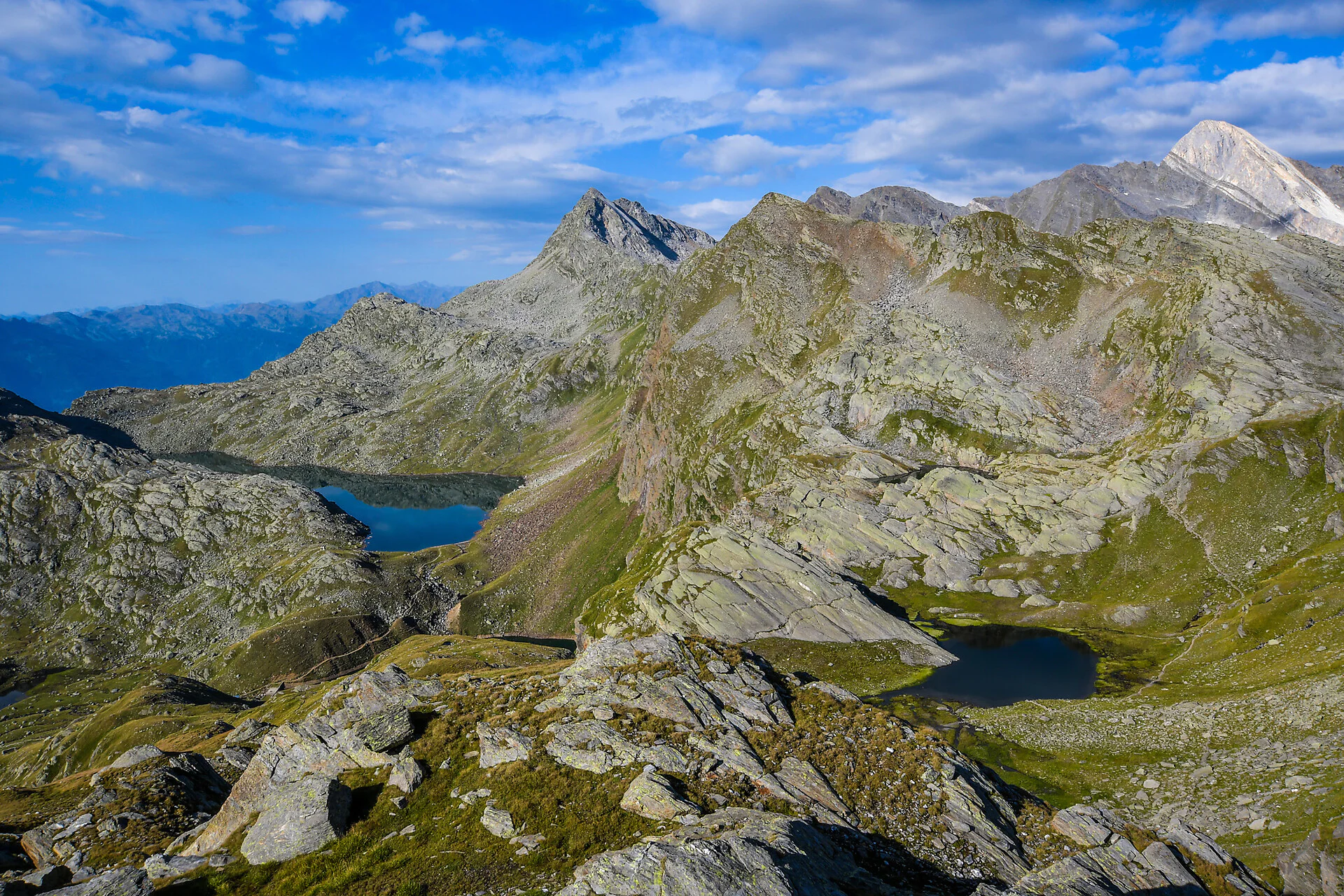
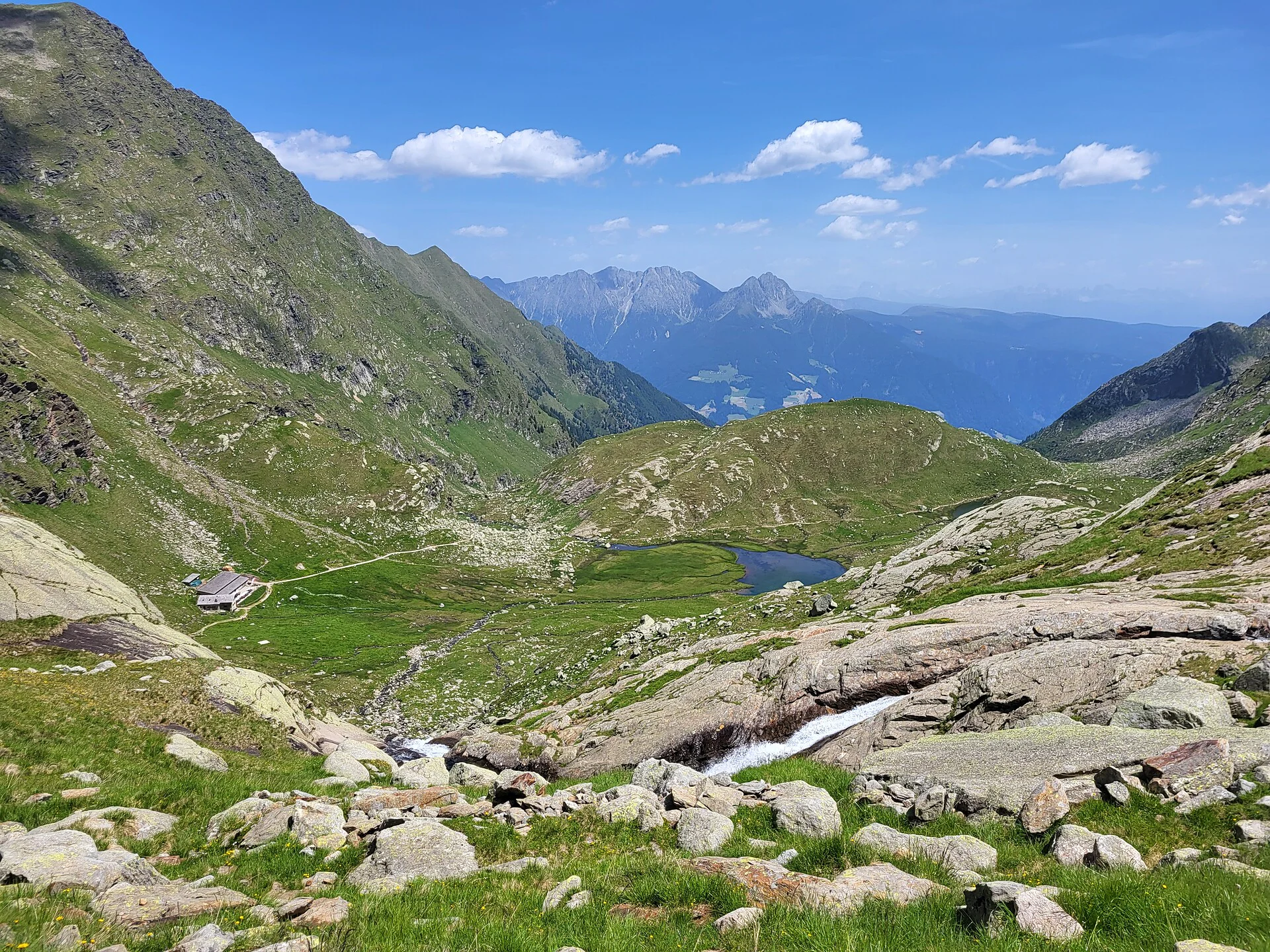
Departing at 7.24 am from the Meran/o railway station, the bus leads to Pfelders/Plan arriving at 8.53 am. Starting from there, the hike (lasting approx. 50 min) leads up to the Falschnal Alpine hut at an altitude of 1,871 m with a short break. Then, route n°. 6 follows on to the Falschnaljöchl ridge at 2,417 m which links up to the Spronser Joch ridge at 2,581 meters, with a hike lasting about 2 hours 20 min. With the mountain lakes still ahead, the track follows on for about 1 hour to the Oberkaser Alpine hut at 2,134 m, where hikers can pause for a lunch made of local specialties. After the break, the route passes lake Kaserlacke and lake Pfitscherlacke. The route follows the Jägersteig hunter’s path down to the Mutkopf hut at 1,664 m and then down to the Hochmut hut at 1,360 meters, lasting about 2 hours. From here, the cableway takes you back down into the valley at Dorf Tirol/Tirolo. The bus will return to the starting point in Meran/o.
Between June and September, treks up to the Spronser Seen Lakes are also conducted with a trained mountain guide: our host, Erich Unterthurner!
For further information and to register, please contact the respective tourist offices at Parcines/ Partschins and Rablà/Rabland.
Timetable search: https://www.suedtirolmobil.info/en/
Public parking (Praderplatz square) in front of the Meran/o railway station

To complete your subscription, open the email we just sent you and click on the confirmation link.
Can’t find it? Check your spam folder too.