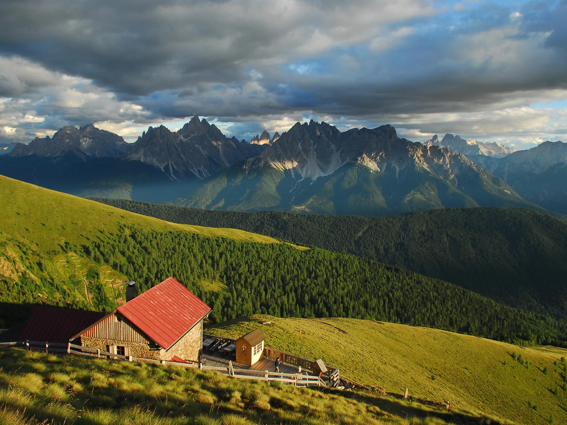
Mountain shelter with a view to the Dolomites
Starting point: a) Val Casies Valley / S. Maddalena parish curch b) Val Casies Valley / S. Martino tourist information office c) Dobbiaco / Gandelle
Distance: a) 13 km b) 10 km c) 4 km
Descent: along the same route
Walking time: a) 05:20 h b) 04:40 h c) 02:30 h
Difficulty: medium-difficult
Difference in altitude: 745-1388 m
Information: www.suedtirolmobil.info - Lin. 441
c) Drive from Dobbiaco to the Gandelle farmhouse through the San Silvestro Valley (1595m). The farmhouse is near the Seiter restaurant and parking is available. Walking on a narrow road, past the small Gandelle church, the Bergrast restaurant and the Hofer farm and following the trail marker No. 25 through the Golfental you will reach the Bonner Hut (2340m, refreshment and overnight stay possible).

To complete your subscription, open the email we just sent you and click on the confirmation link.
Can’t find it? Check your spam folder too.