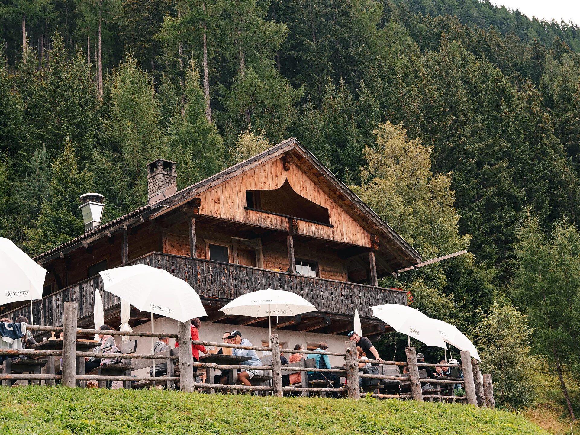
The hike to the Hofstattalm in Antholz starts at the Walderhöfe farms in Niedertal. From there, follow trail 31A, which leads you to the alpine hut in about 30 minutes. This short but varied route involves an elevation gain of approximately 250 meters. The path winds through dense forests and offers beautiful views of the surrounding mountains. The Hofstattalm is a popular destination for families and hikers seeking a short but rewarding hike. Once at the top, you can enjoy refreshments at the hut and take in the stunning mountain scenery.
Coming from Innsbruck/Brenner (A): Drive on the Highway of Brenner (A22) until the exit Brixen/Pustertal, then go on along the SS49-E66 for about 50kms until you arrive in Olang/Valdaora.
Coming from Lienz (A): You can reach us also padding by Lienz in Westtyrol (A). You have to cross the Austrian-Italian border between Ahrnbach and Winnebach (B100-E66) and drive on the SS46-E66 until Olang/Valdaora
Coming from Bozen: Highway of Brenner (A22) until the exit Brixen/Pustertal, then go on along the SS49-E66 for about 50kms until you arrive in Olang/Valdaora.

To complete your subscription, open the email we just sent you and click on the confirmation link.
Can’t find it? Check your spam folder too.