Skip to content

added to favourites

removed from favourites

Oops! Something went wrong. Try again

Your account is being created

Your account has been successfully created and you are now logged in

You’ve been logged in successfully!

You are logged in successfully!

You are logged out.

Hiking

Oclini - Corno Nero round hike

Redagno/Radein, Aldein/Aldino, Bolzano/Bozen and environs
from center
Loop trail, starting from Passo Oclini, leading to the summit of Corno Nero, descending to Passo Cugola and returning to the starting point. The hike allows you to reach the summit of Corno Nero, starting and returning from Passo Oclini,crossing different landscapes: from meadows with grazing cows to forests, alpine pastures and pure rock.
Distance 8.2 Km
Duration 3h:30 min
Ascent 641 m
Descent 641 m
Highest point 2439 m
Lowest point 1894 m
Tour Details
Transport

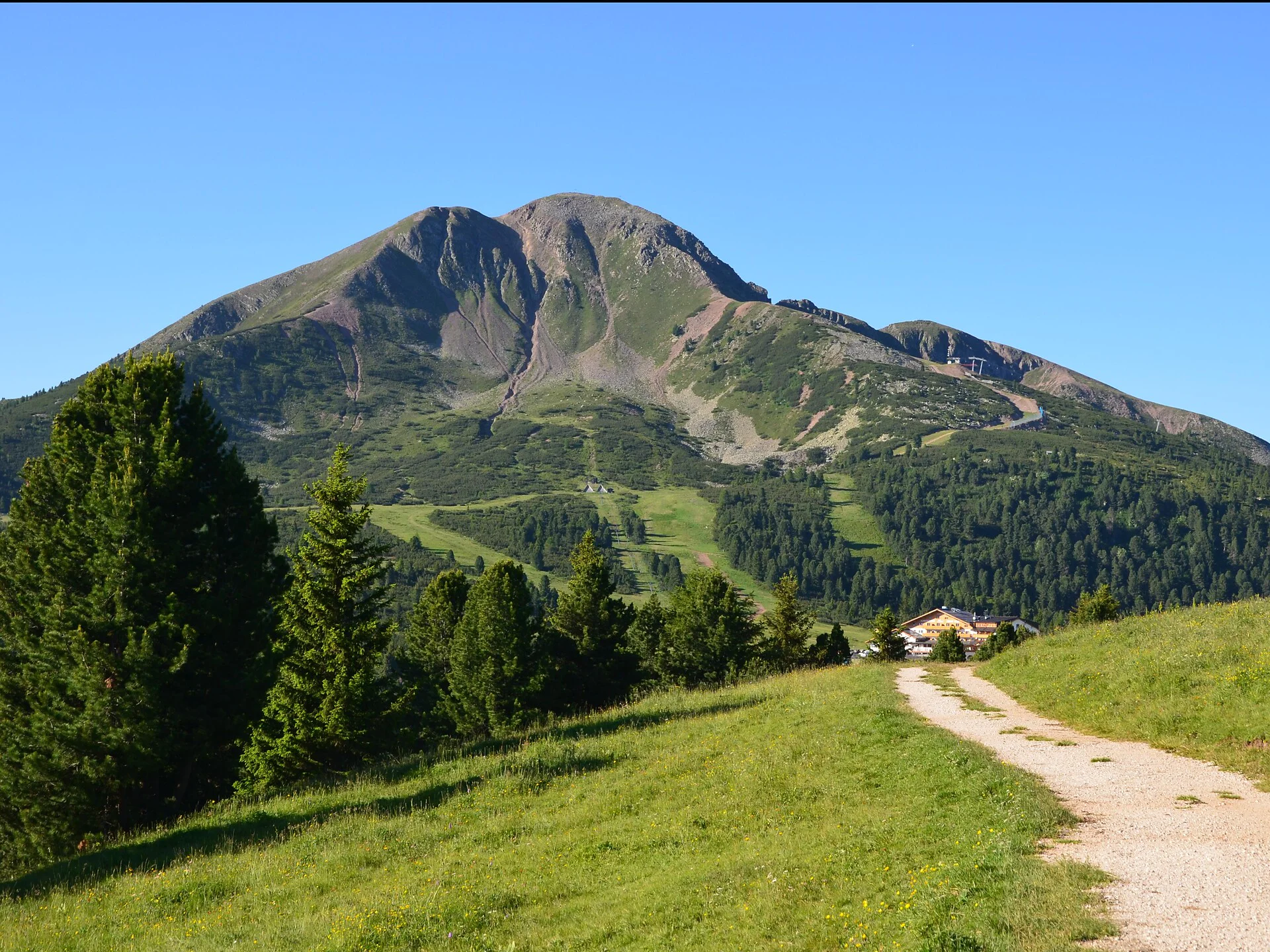
Coming from the north: Take the “Bozen-Nord” autobahn exit from the A22 and follow the signposts directing you to the Eggen Valley and Obereggen and continue on towards the Lavazè Pass. From there, proceed westwards to Oclini (driving time from the autobahn exit: approx. 35 – 40 minutes). Coming from the south: Take the “Neumarkt/Auer” exit of the Brenner autobahn A22 and continue via Montan to the Fleims Valley / Val di Fiemme. Continue on towards Cavalese. Just before you get to Cavalese, take the turn-off to Varena and continue on towards the Lavazè Pass. From there, continue westwards over the Pass road to Oclini (driving time from the autobahn exit: approx. 45 minutes).

Accommodation image
Finish your booking for
Accommodation name
0  room rooms Not selected No board Breakfast Half board Full board All inclusive
Total price: 0 €
(incl. VAT / excl. local tourism tax)