
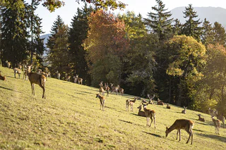
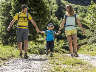
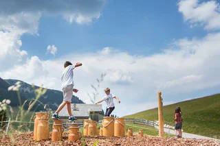
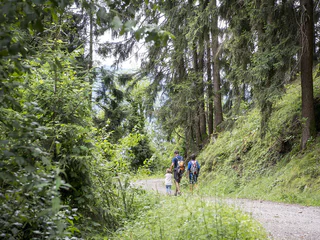
Voor kinderen vormt de reis de bestemming. Van wandelroutes door een zee van appelbloesems in de omgeving van Bolzano/Bozen, Meran/Merano en Brixen/Bressanone, een de onvergetelijke overnachting in een berghut in de Dolomieten- of Kronplatzregio: de talloze opties en tochten in Zuid-Tirol zijn heel leuk voor volwassenen én kinderen.
1/4
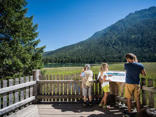
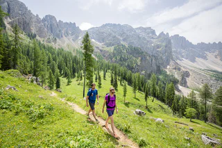
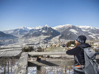
Winter hike along the Schenner Waalweg Trail
Scena/Schenna, Schenna/Scena, Meran/Merano and environs
easy
Moeilijkheidsgraad
320 m
Hoogteverschil
2h:00 min
Duur


