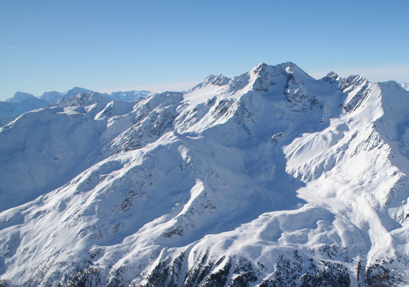
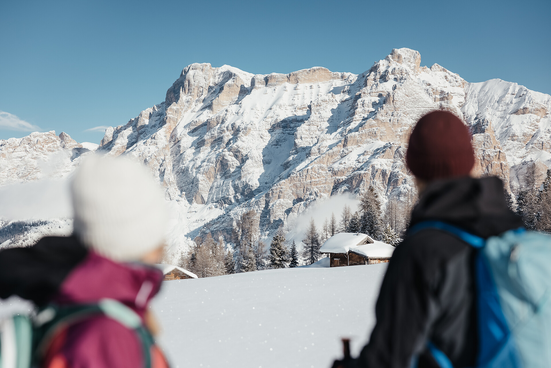
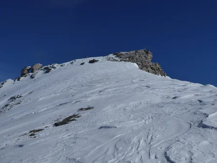
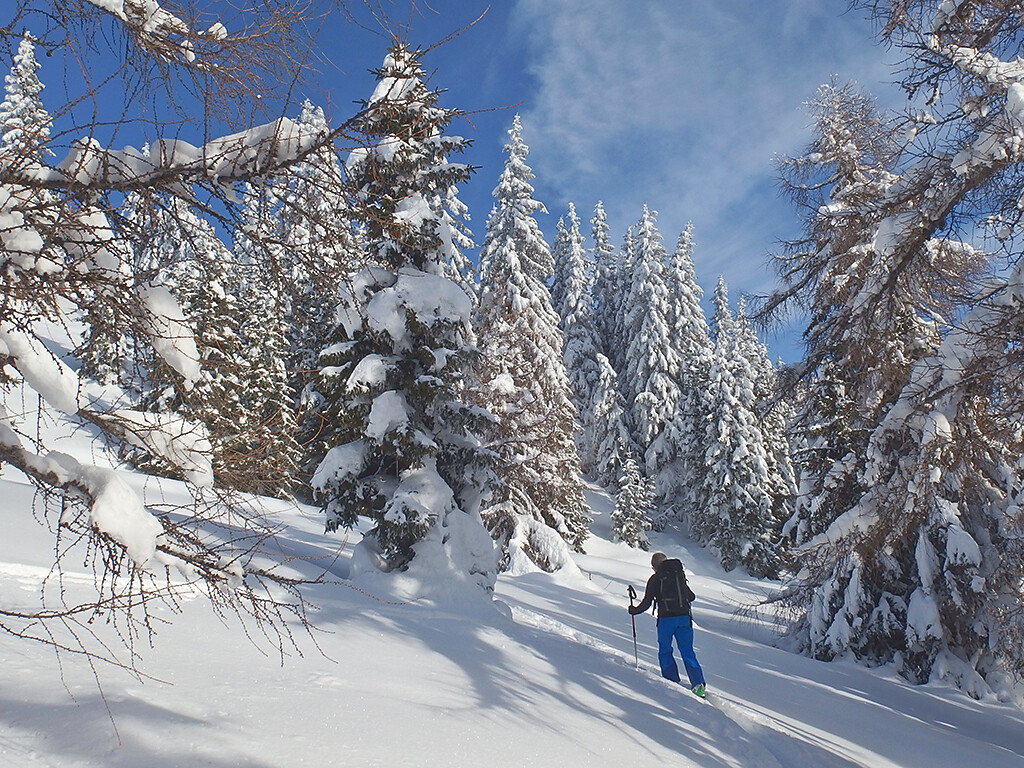
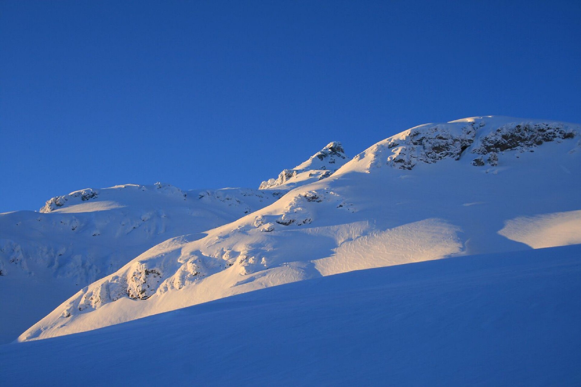
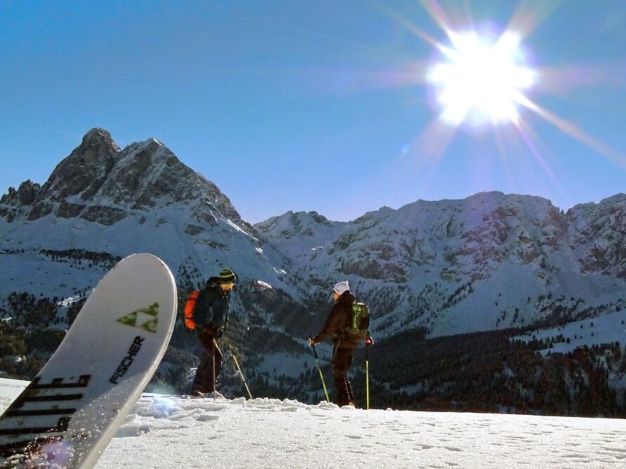
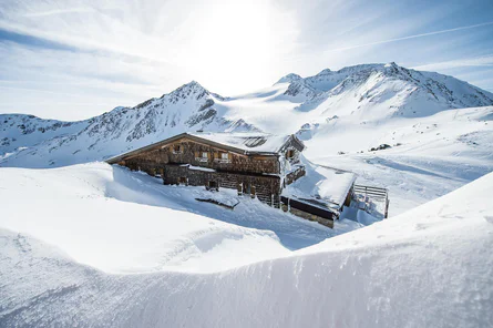
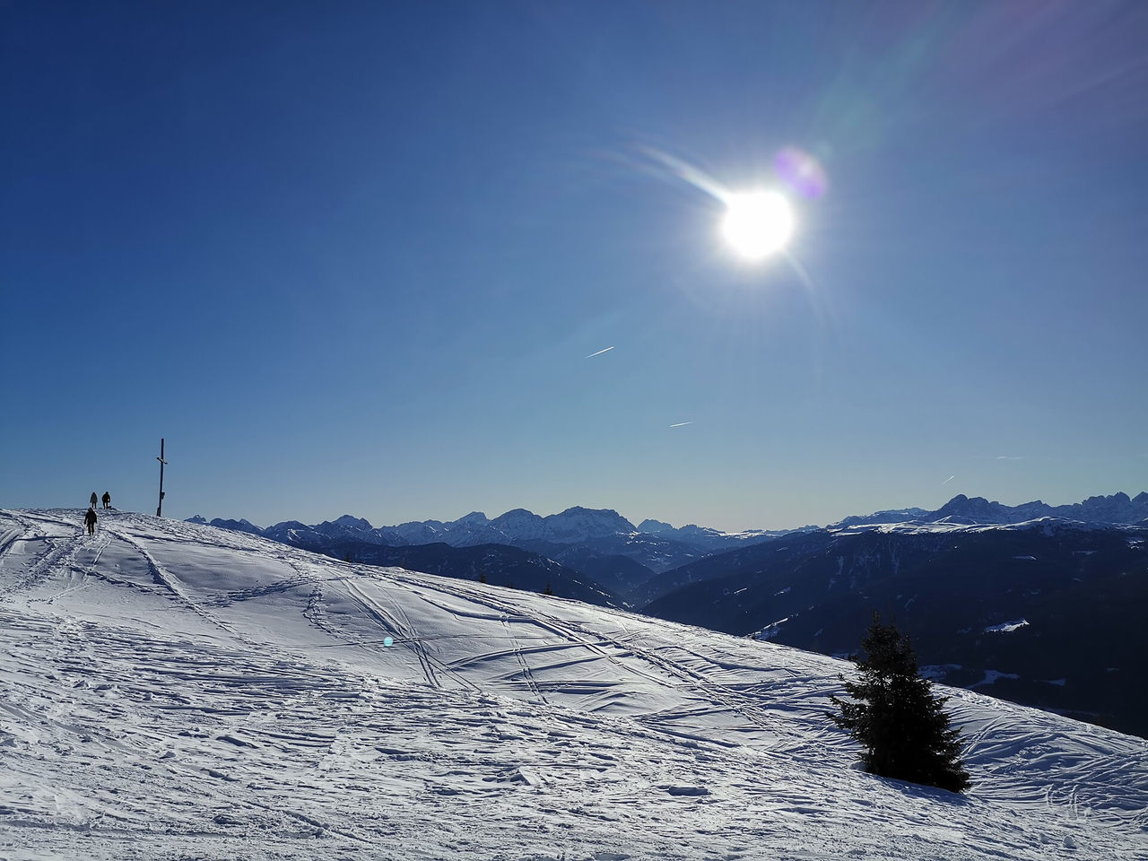
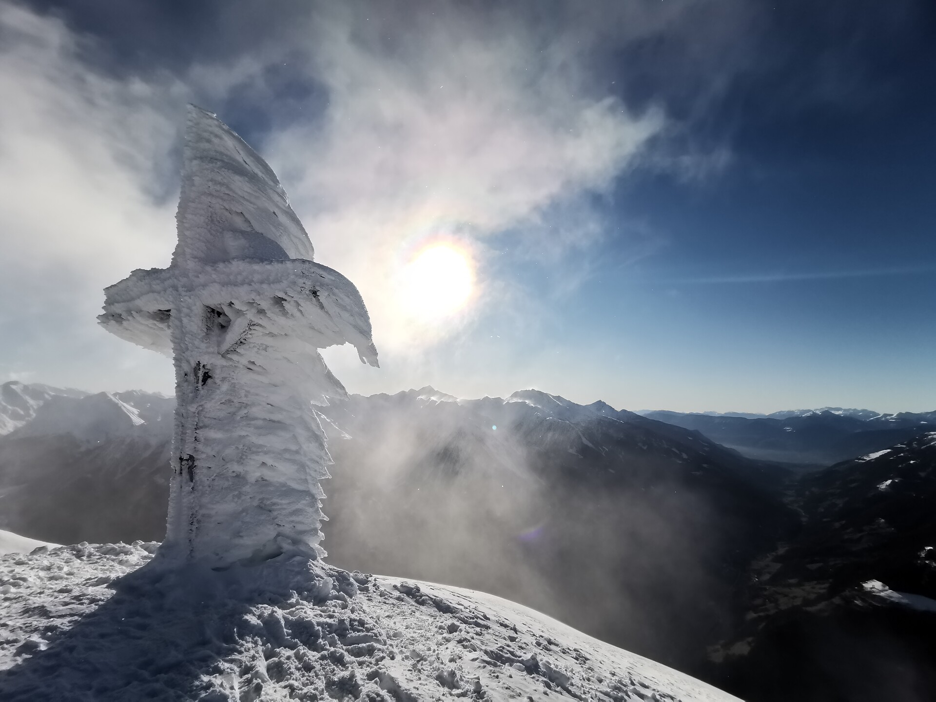
Route A
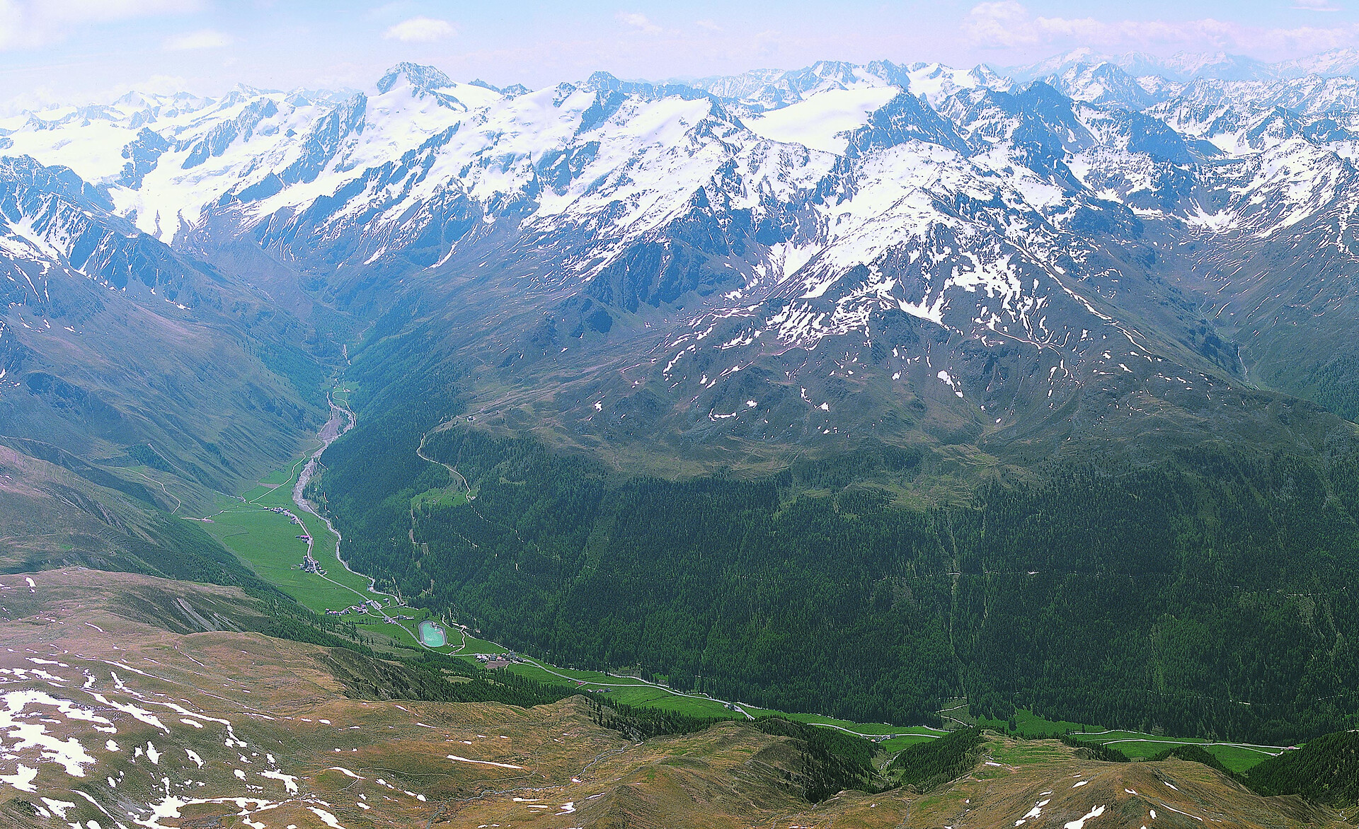
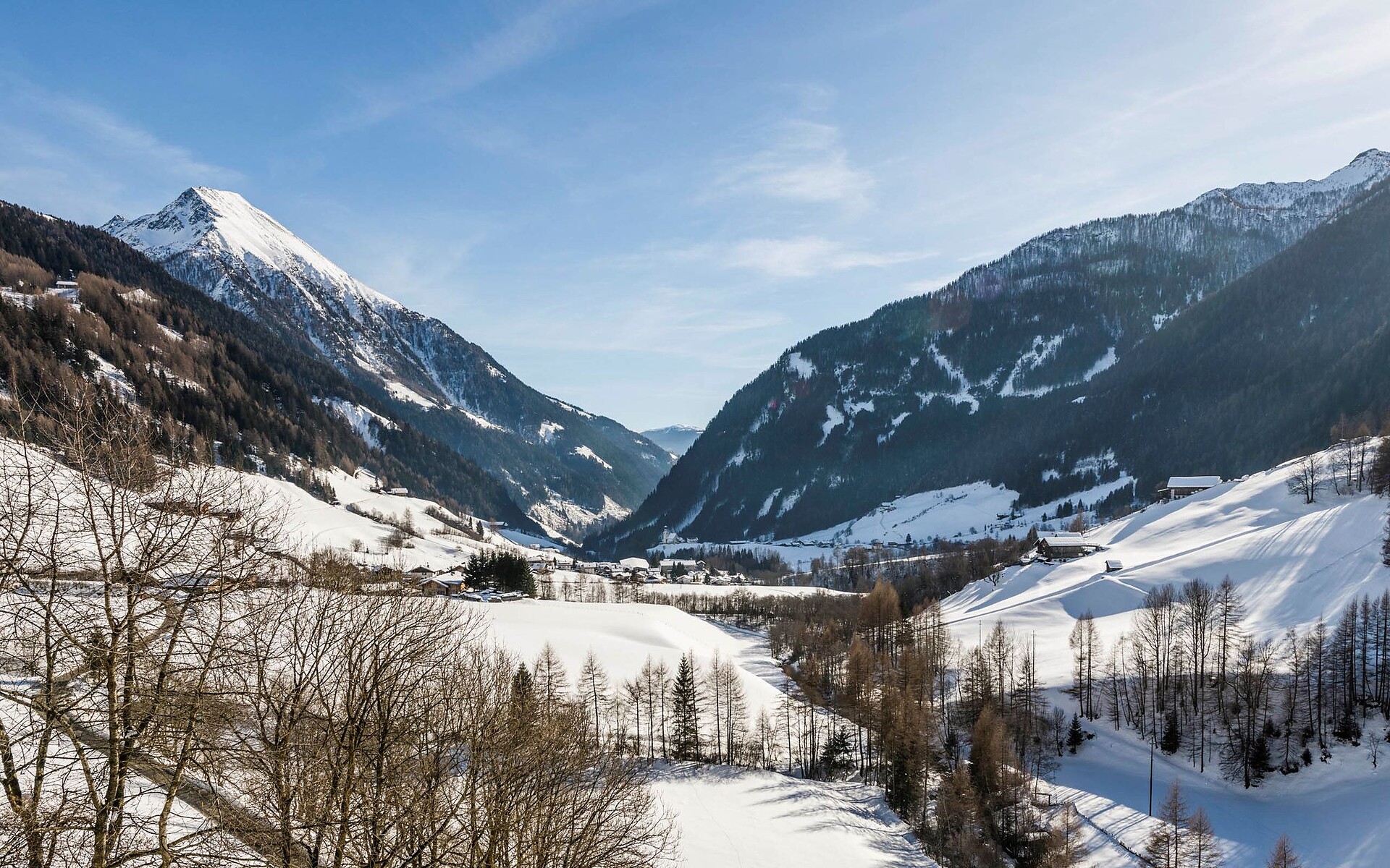
Starting point: Maso Corto/Kurzras, car park (2,011 m a.s.l)
Ascent: 1,728 m elevation gain, 6-7 hours
Best time: March to May
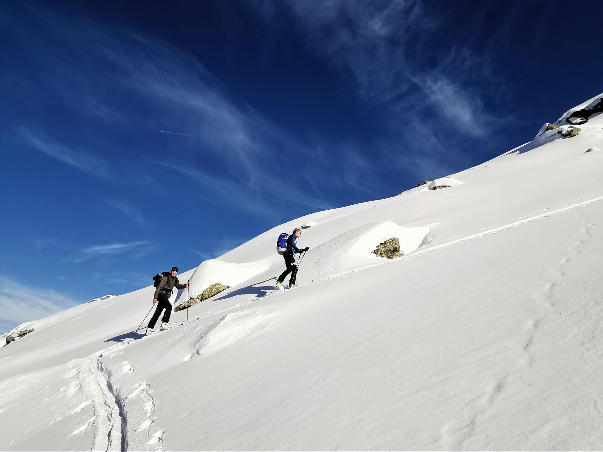
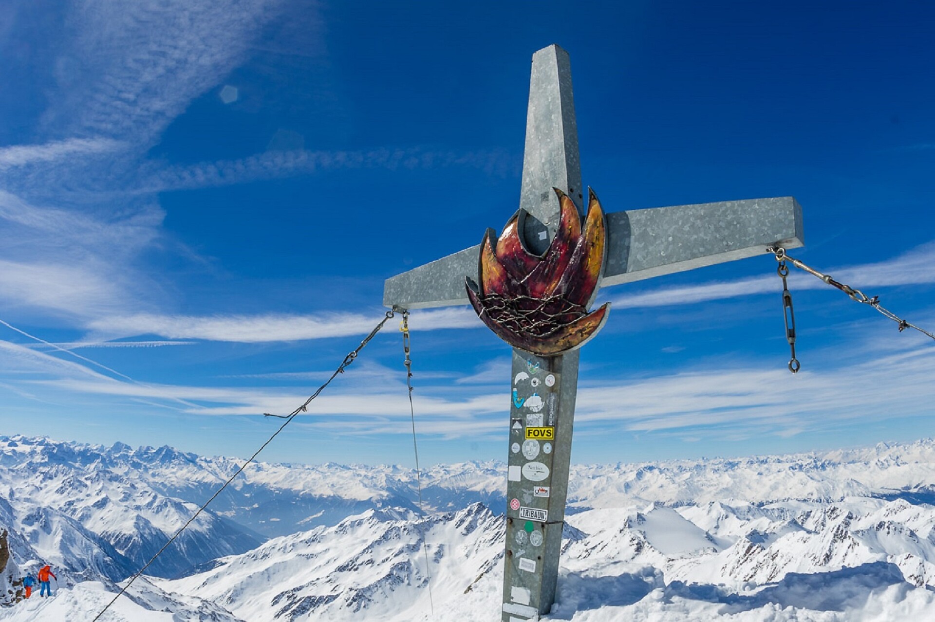
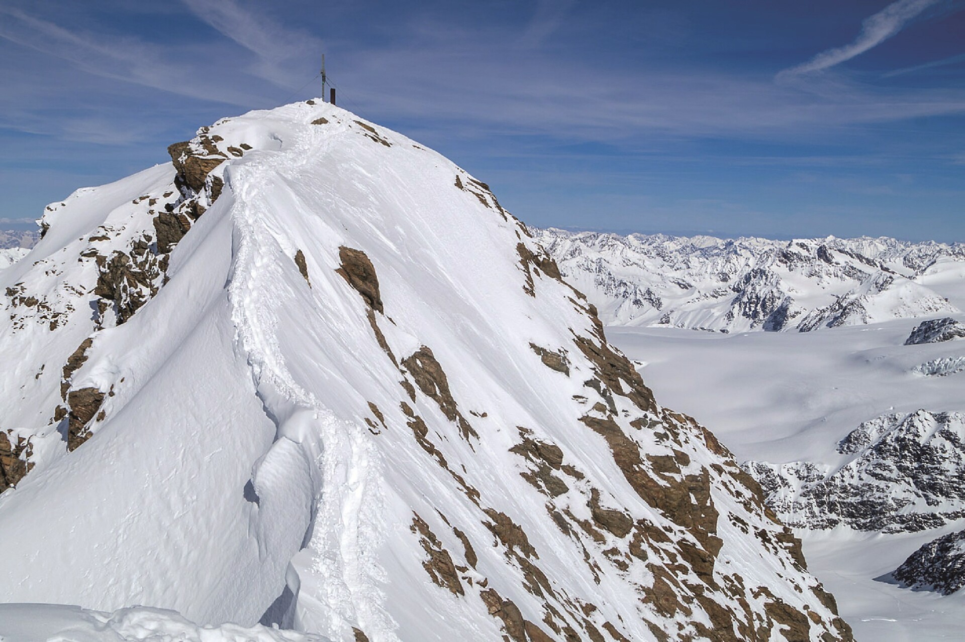
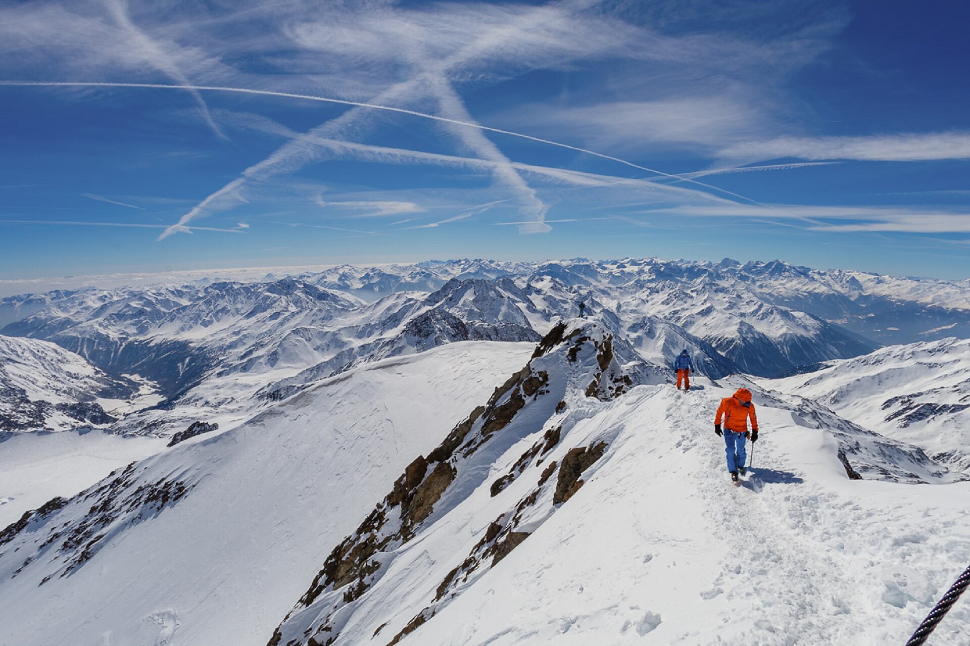
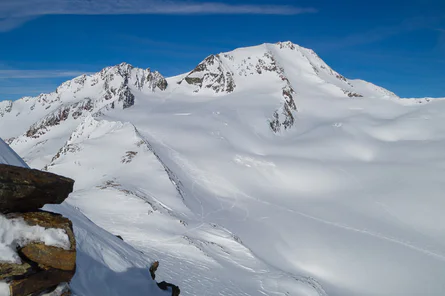
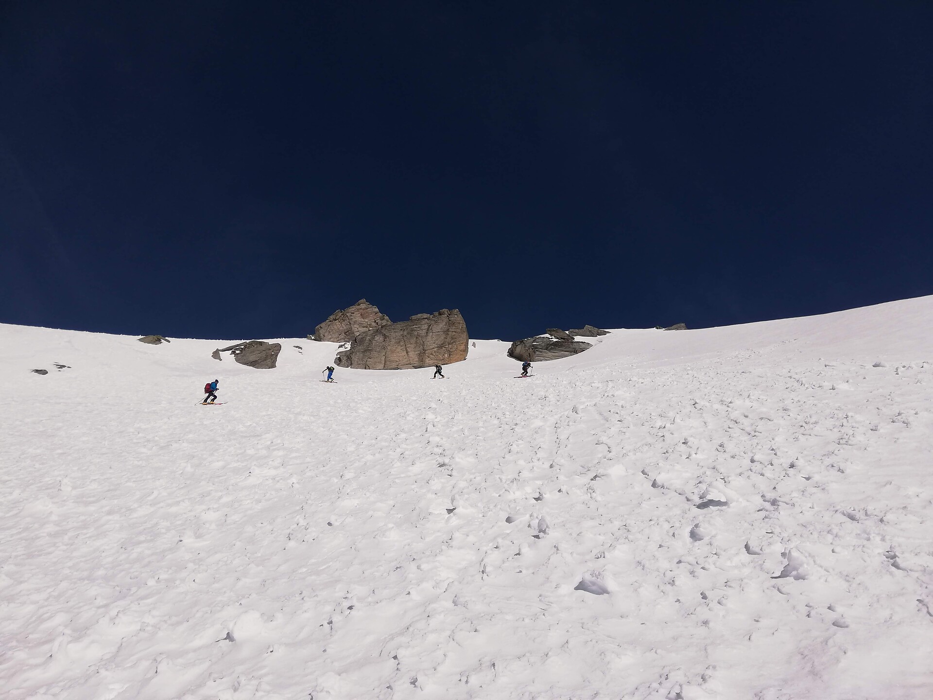
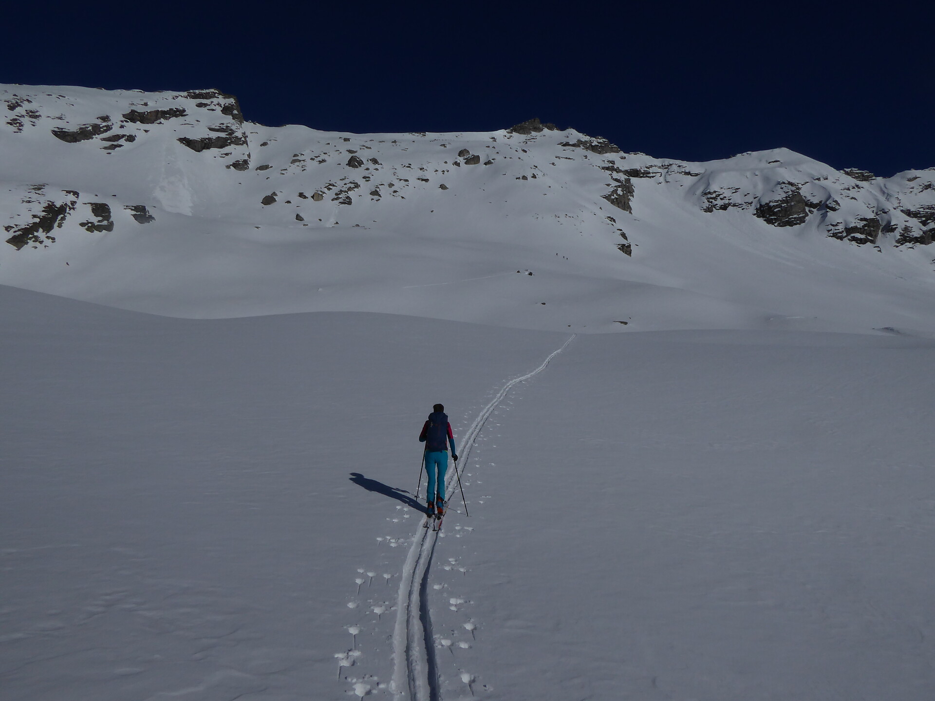
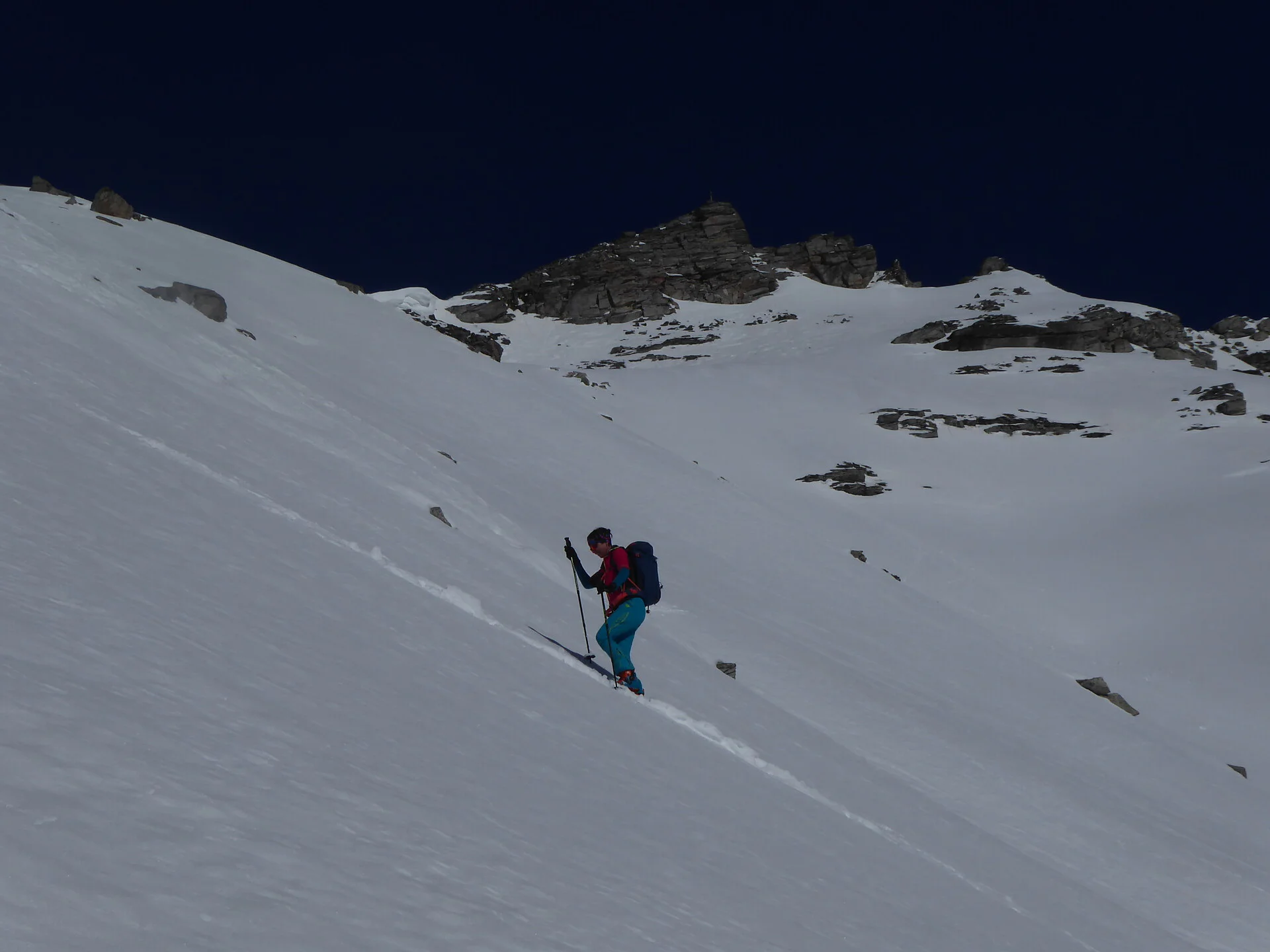
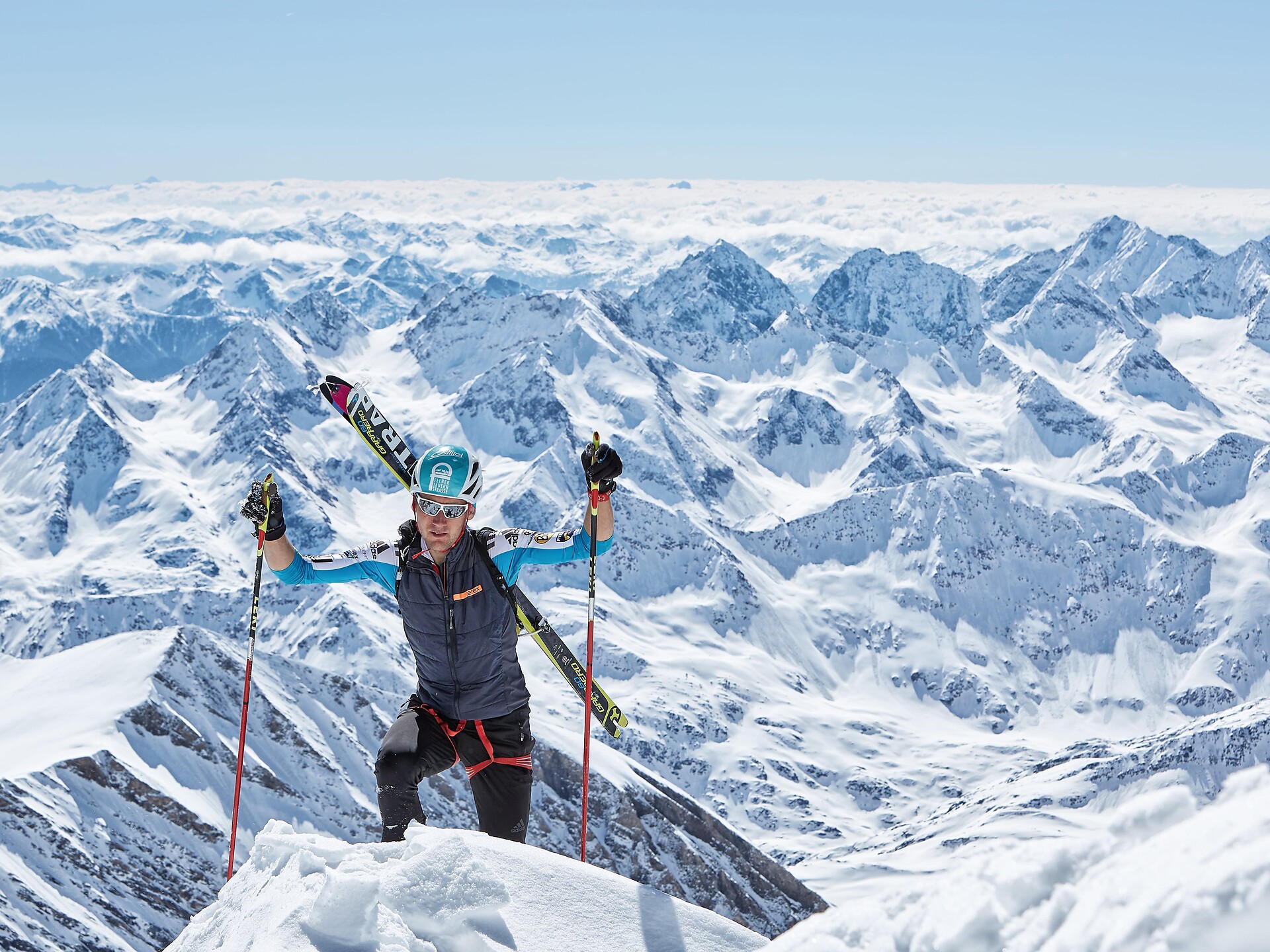
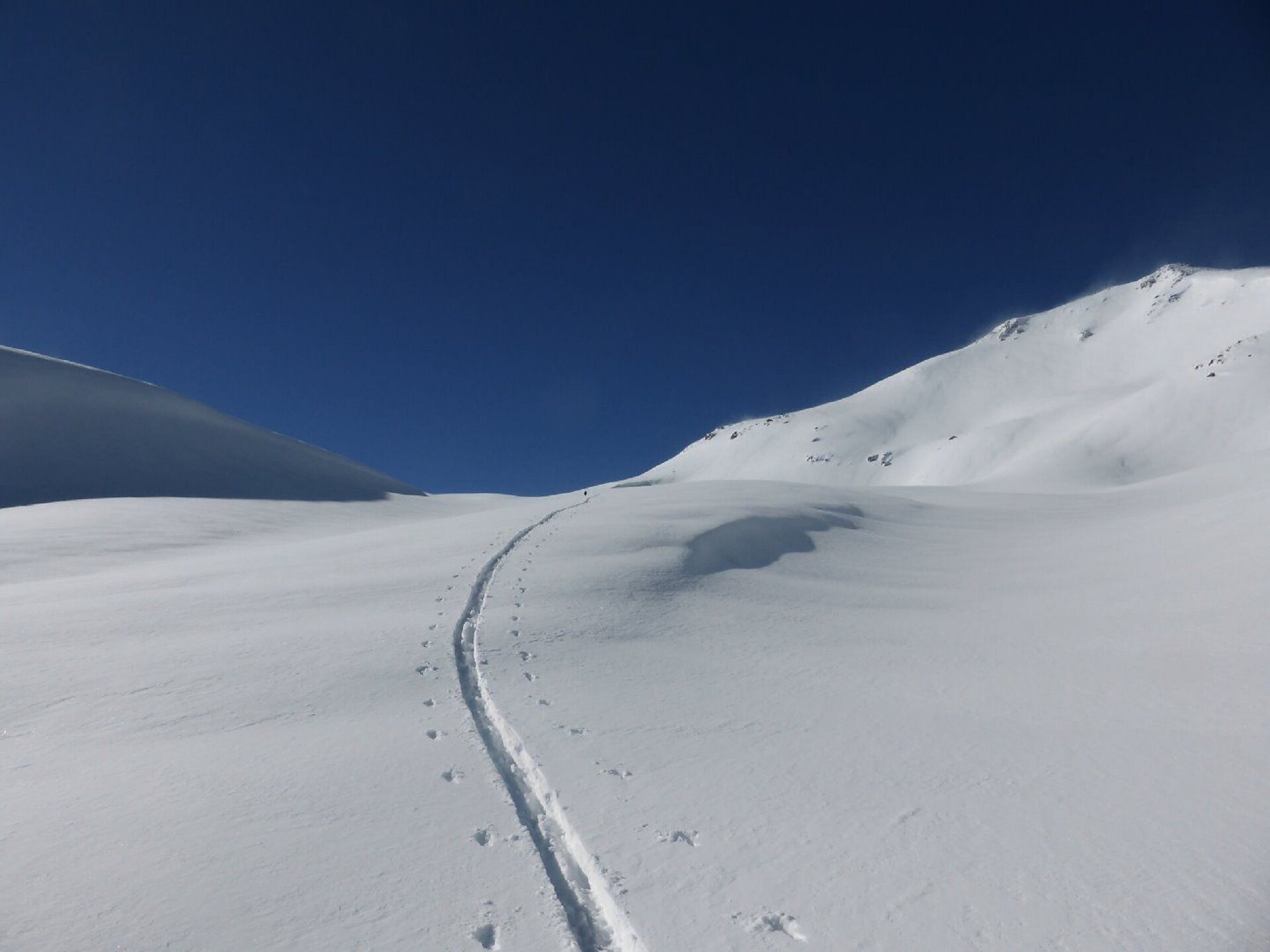
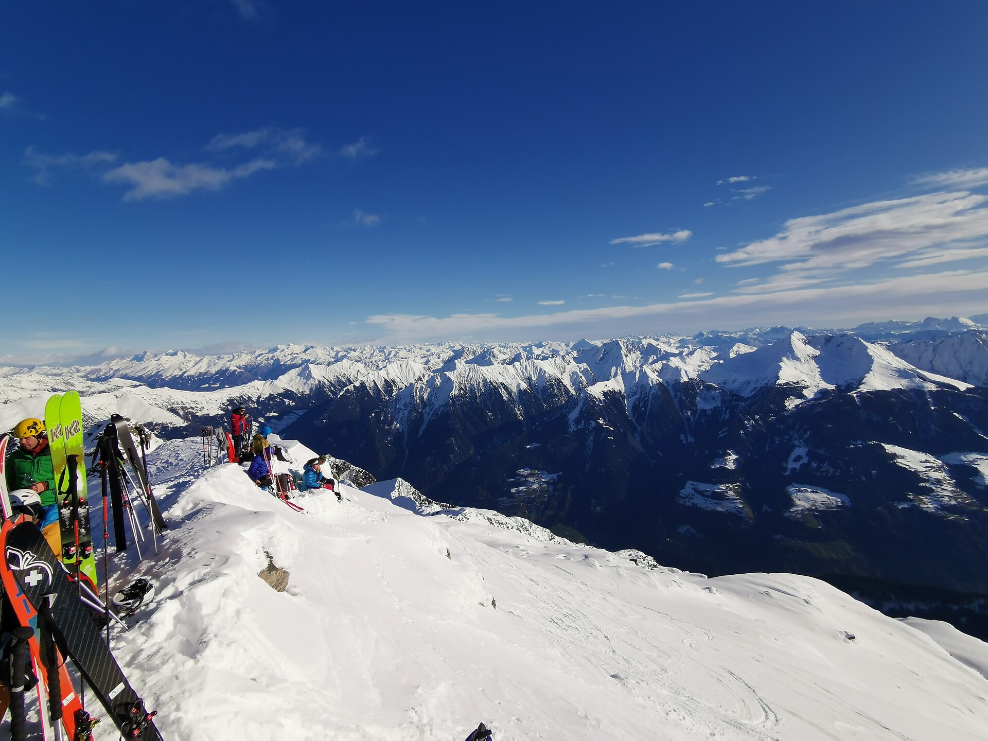
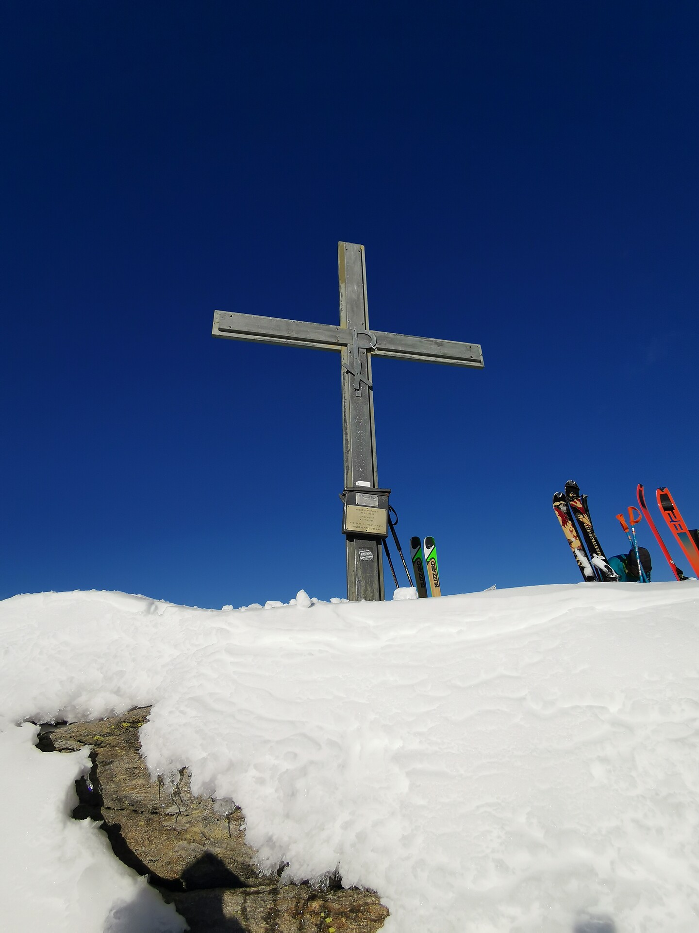
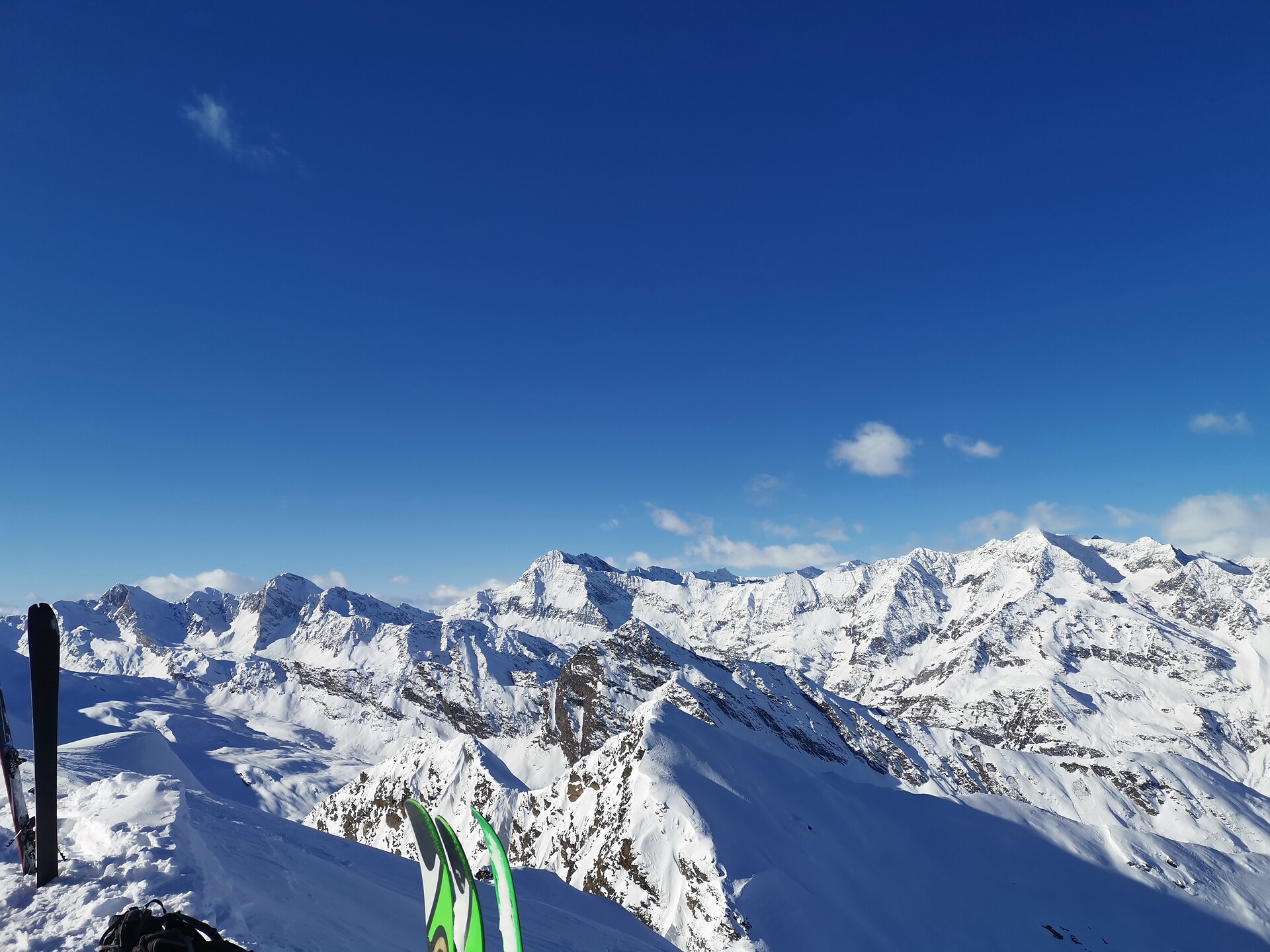
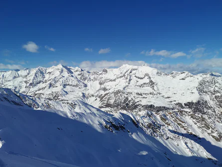
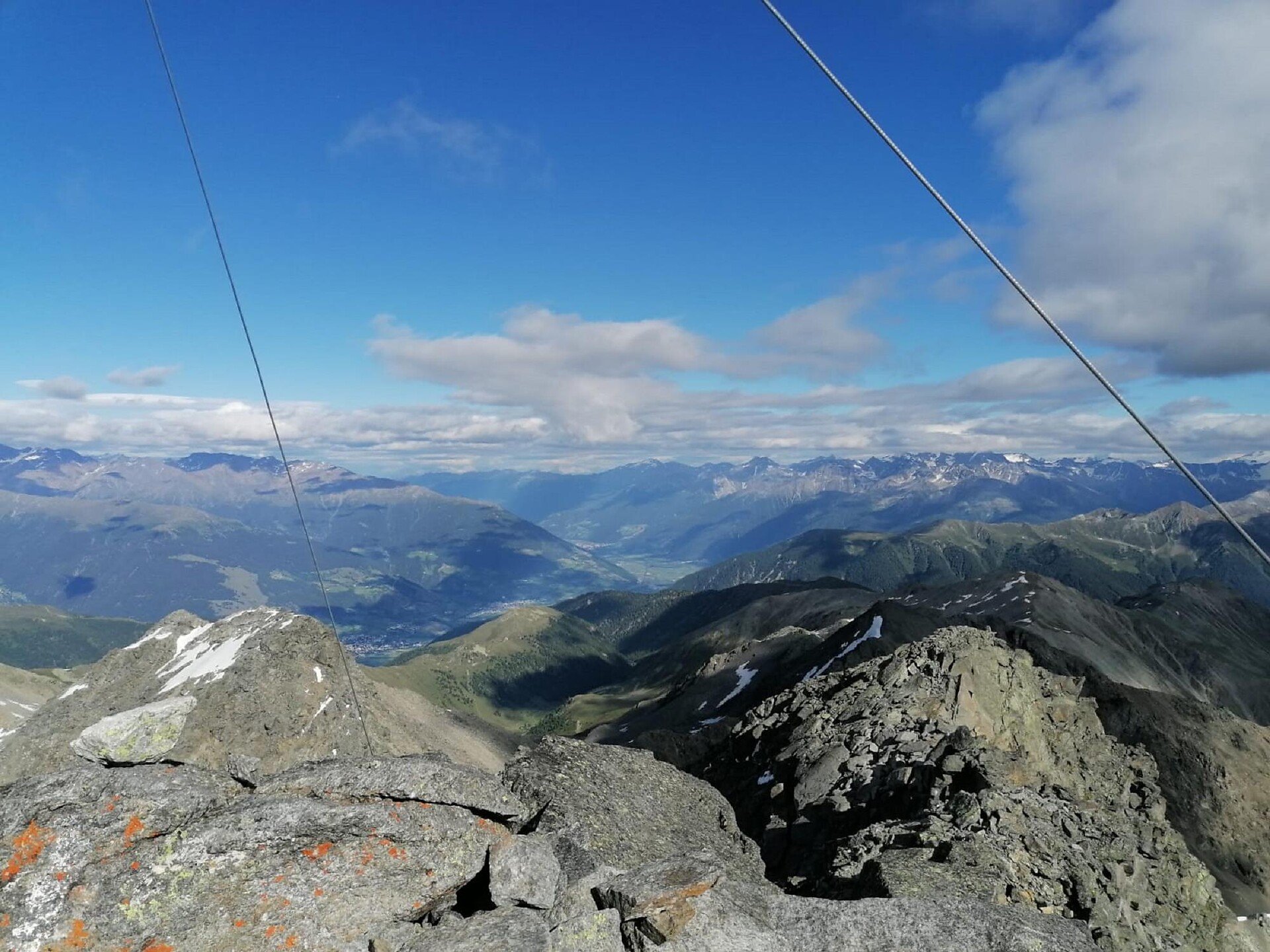
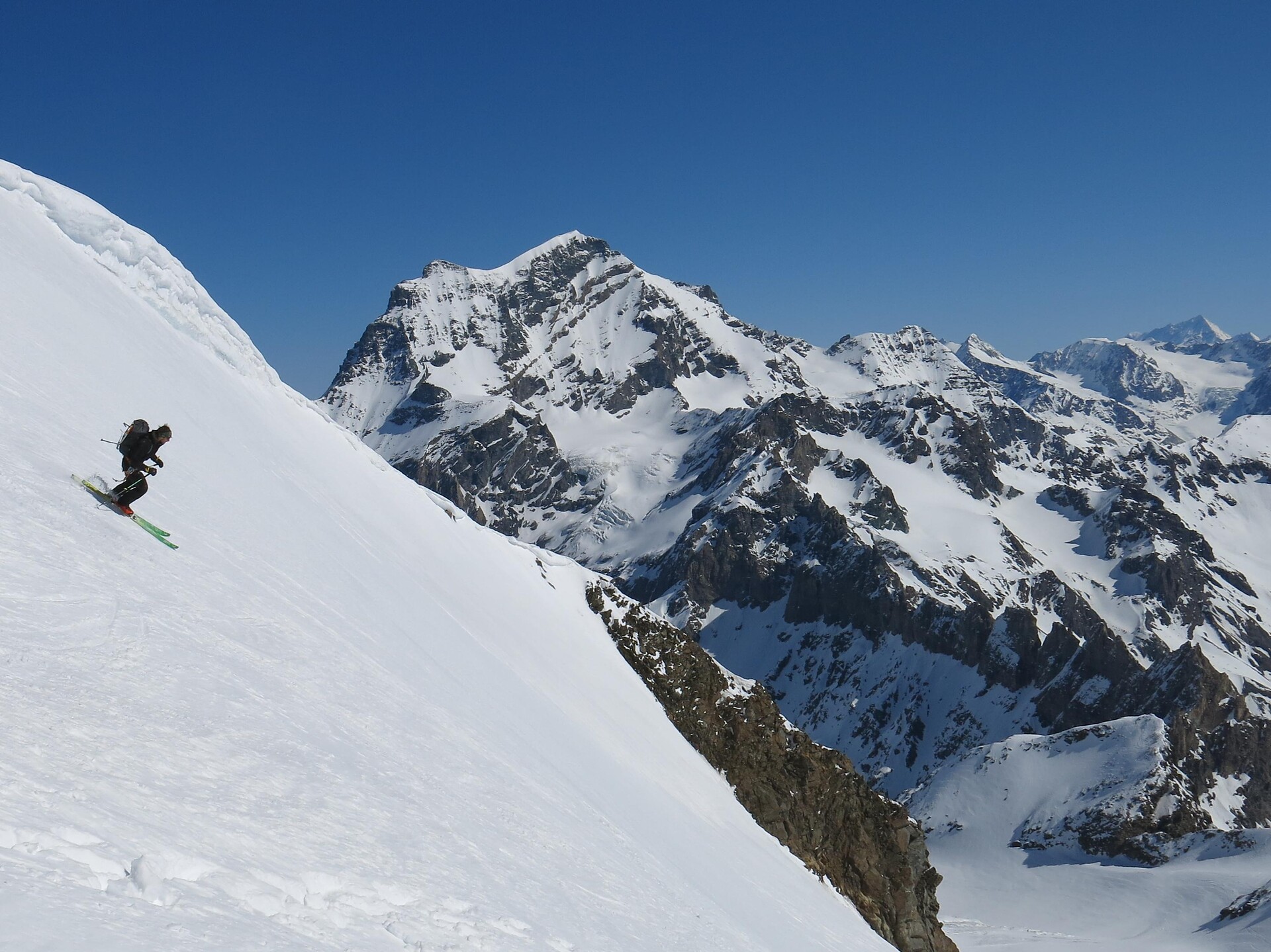
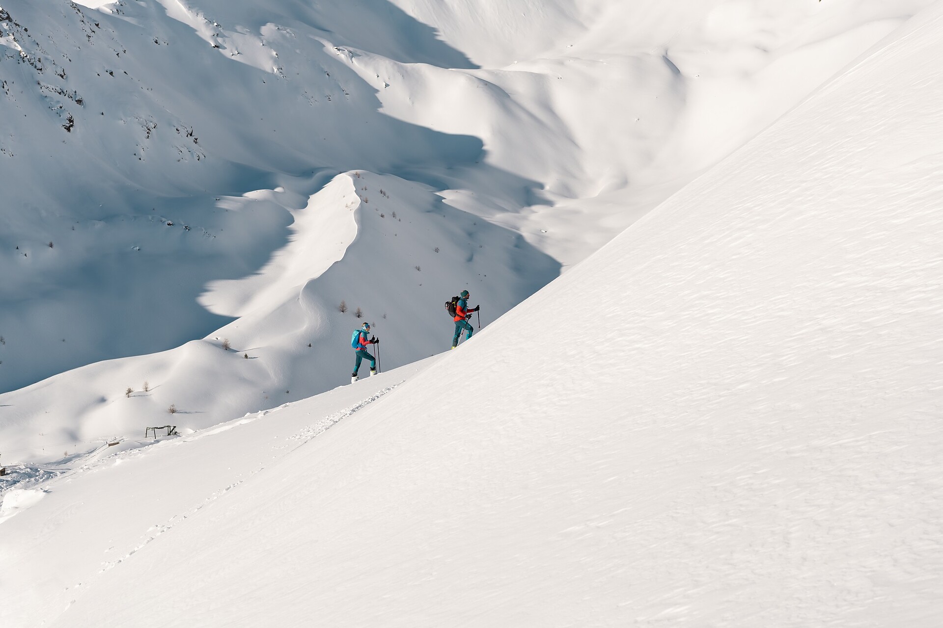
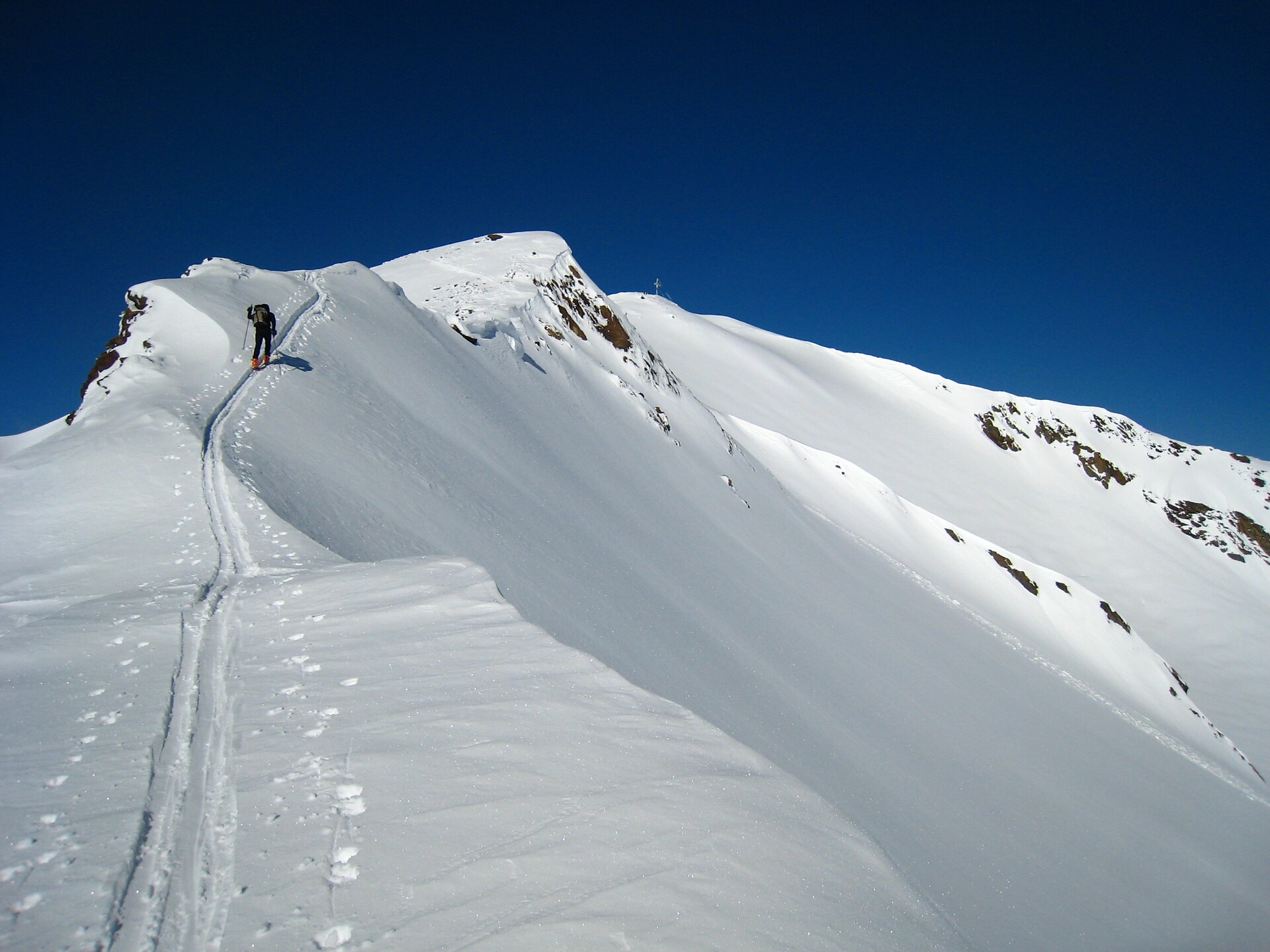
This tour is difficult alone due to the difference in elevation. From Maso Corto/Kurzras along the Sommerweg (summer path as far as the bridge; then in each case take a right into the Steinschlagtal Valley. Climb up through the valley, which is narrow at the start but then widens out. Head towards the north-west, cross the Steinschlagferner glacier and cross over through Quellenjoch pass to the Matscherferner glacier; or at 2,900 m a.s.l, veer right over steep slopes to the ridge where you reach the traces of the Hintereisfern glacier. Moving further north, you arrive at the Hintereisjoch pass where you can climb the Weißkugel by the south ridge. You can only reach the secondary summit with skis. The climb to the 30 m high main summit is very exposed. You can descend either by the same route or by the Bella Vista route (Route B).
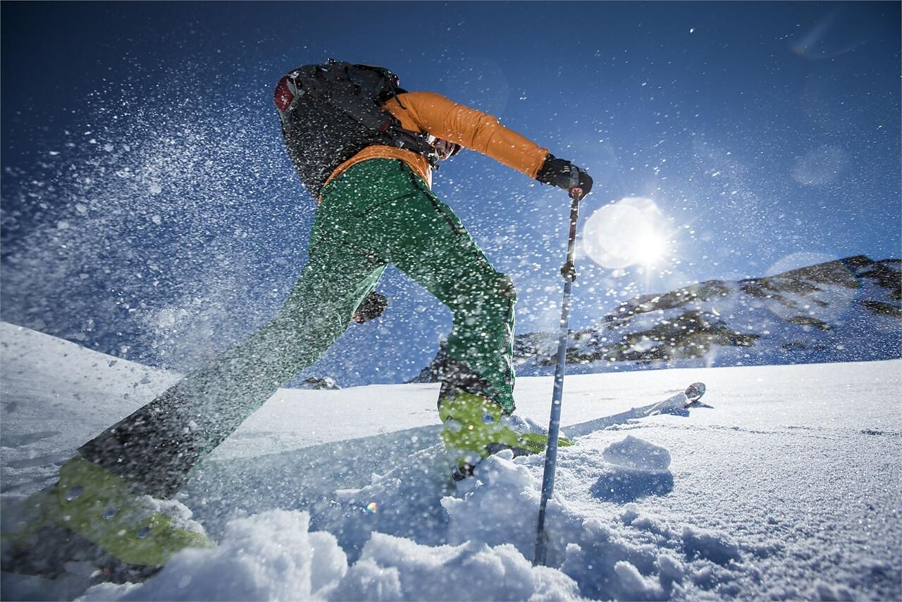
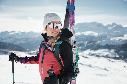
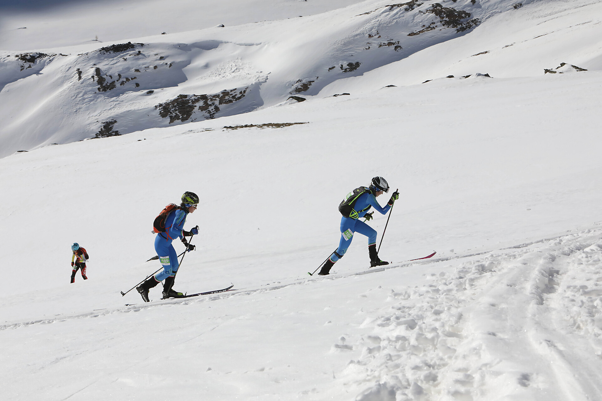
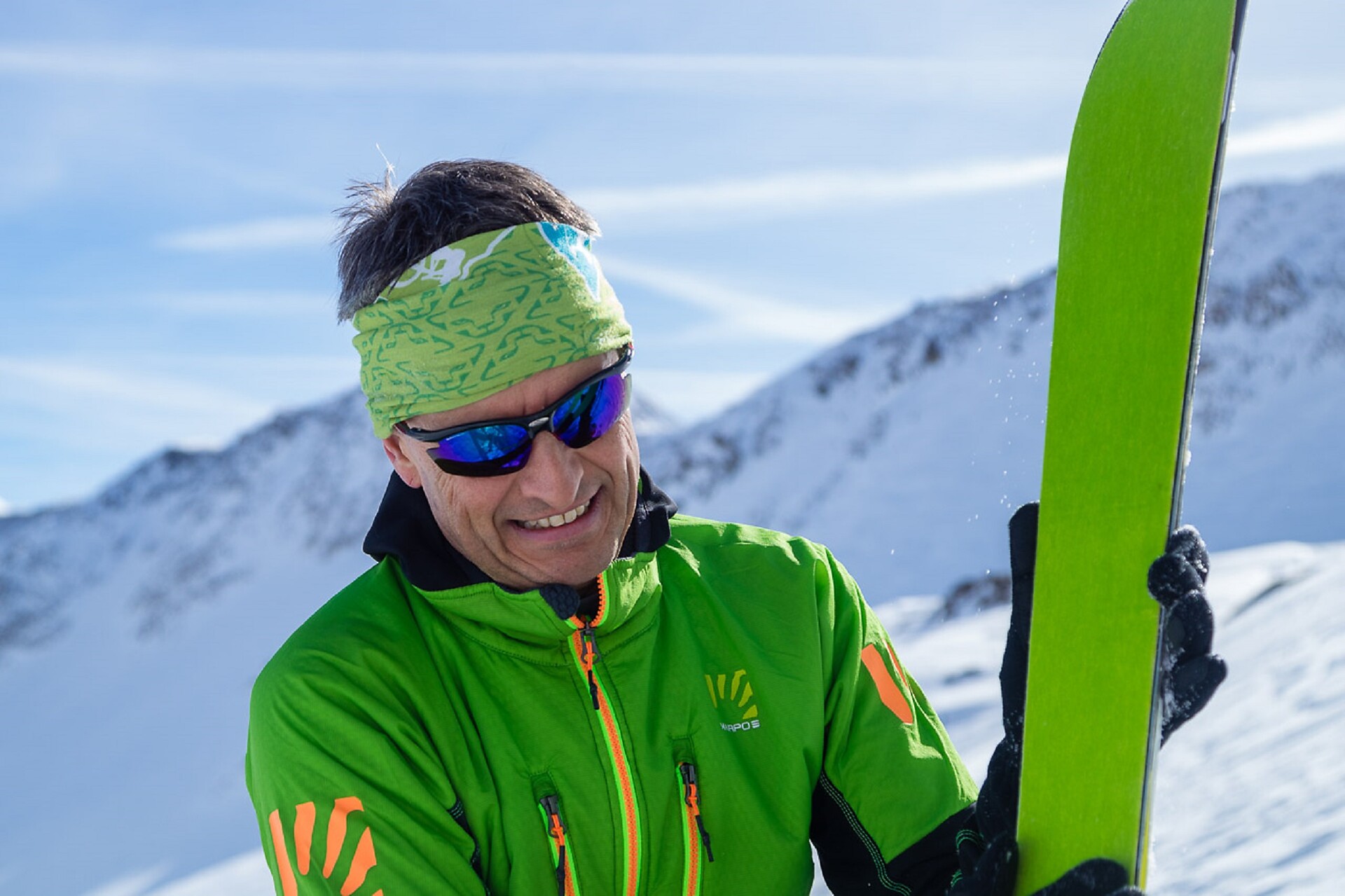
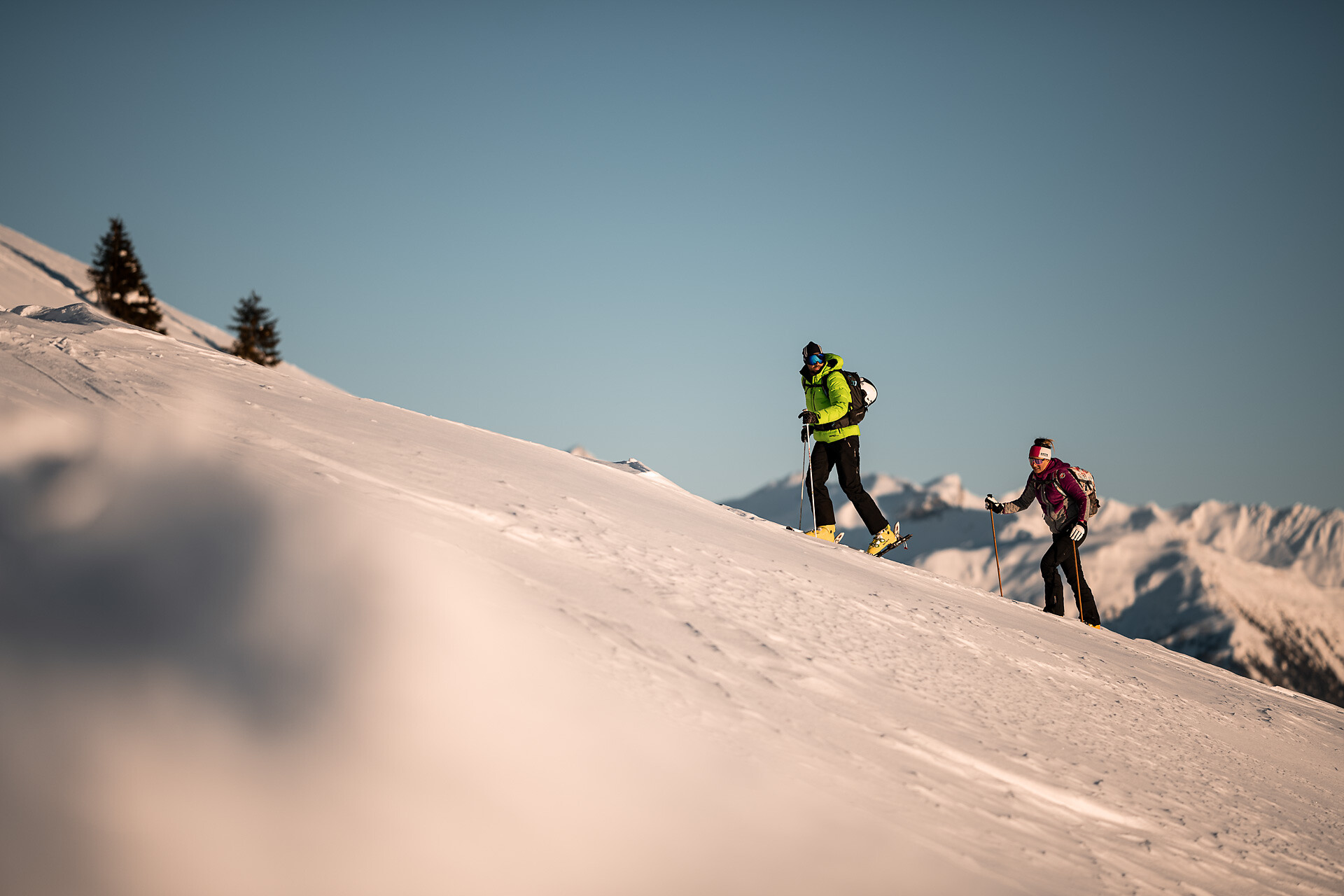
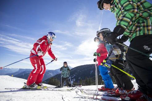
Only for good and very fit touring skiers with Alpine experience.
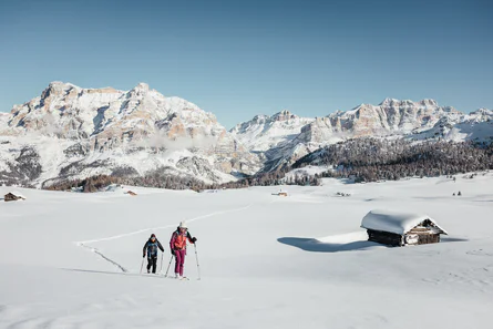
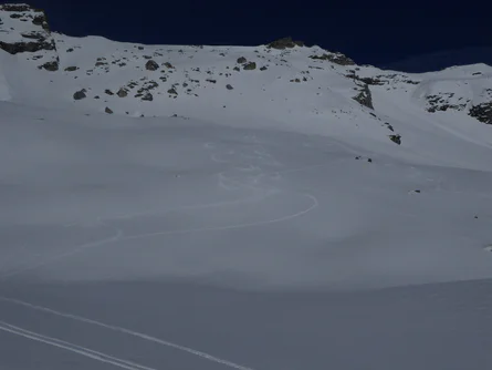
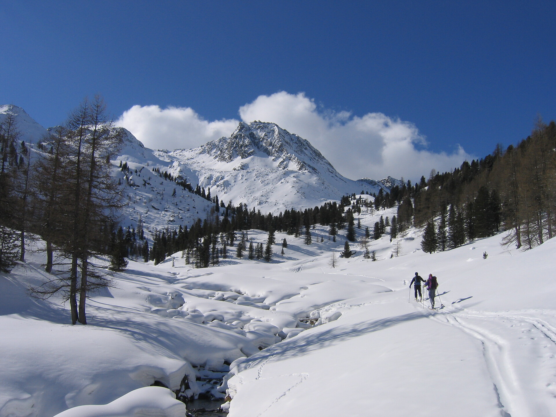
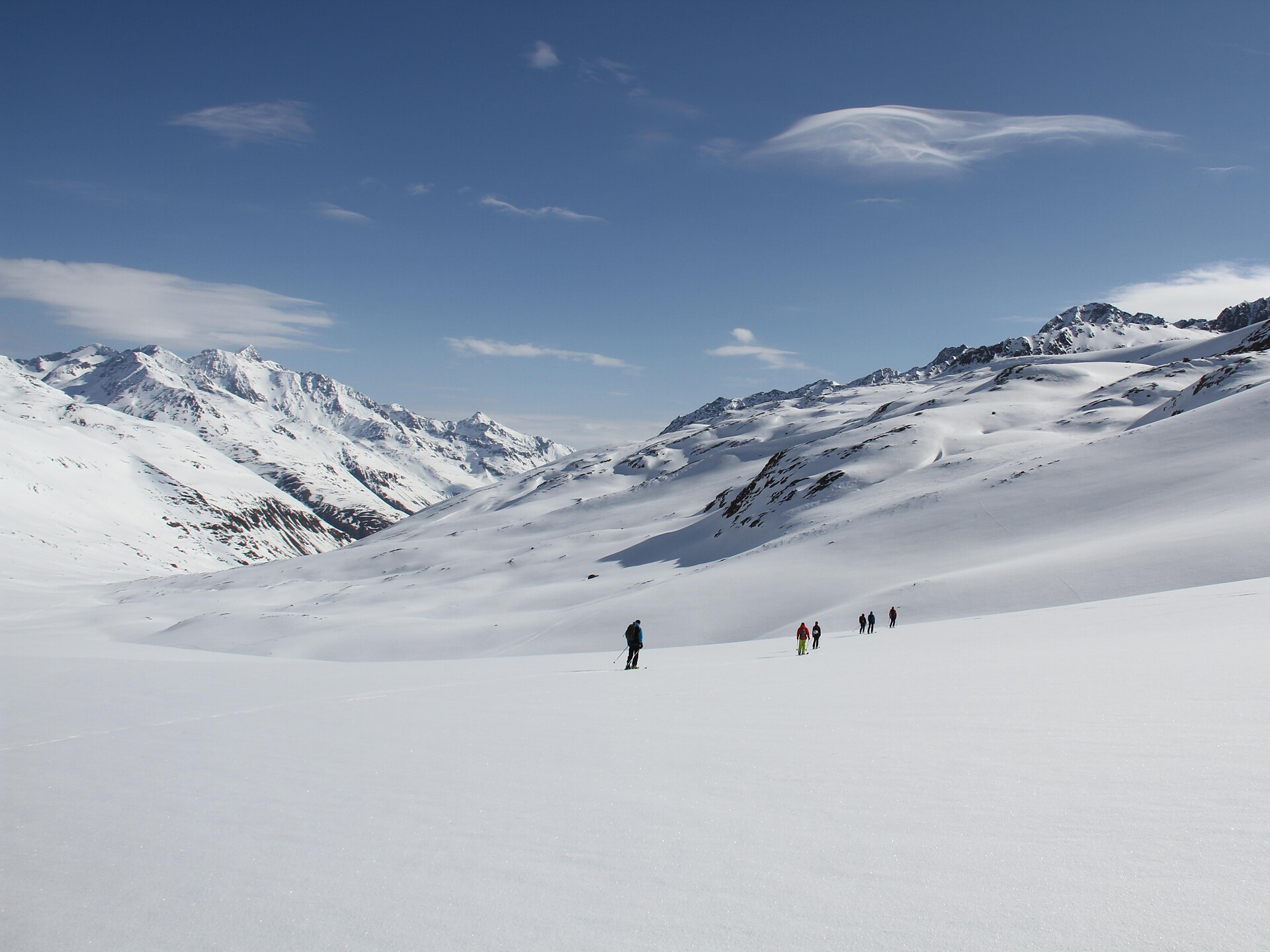
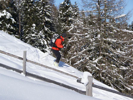
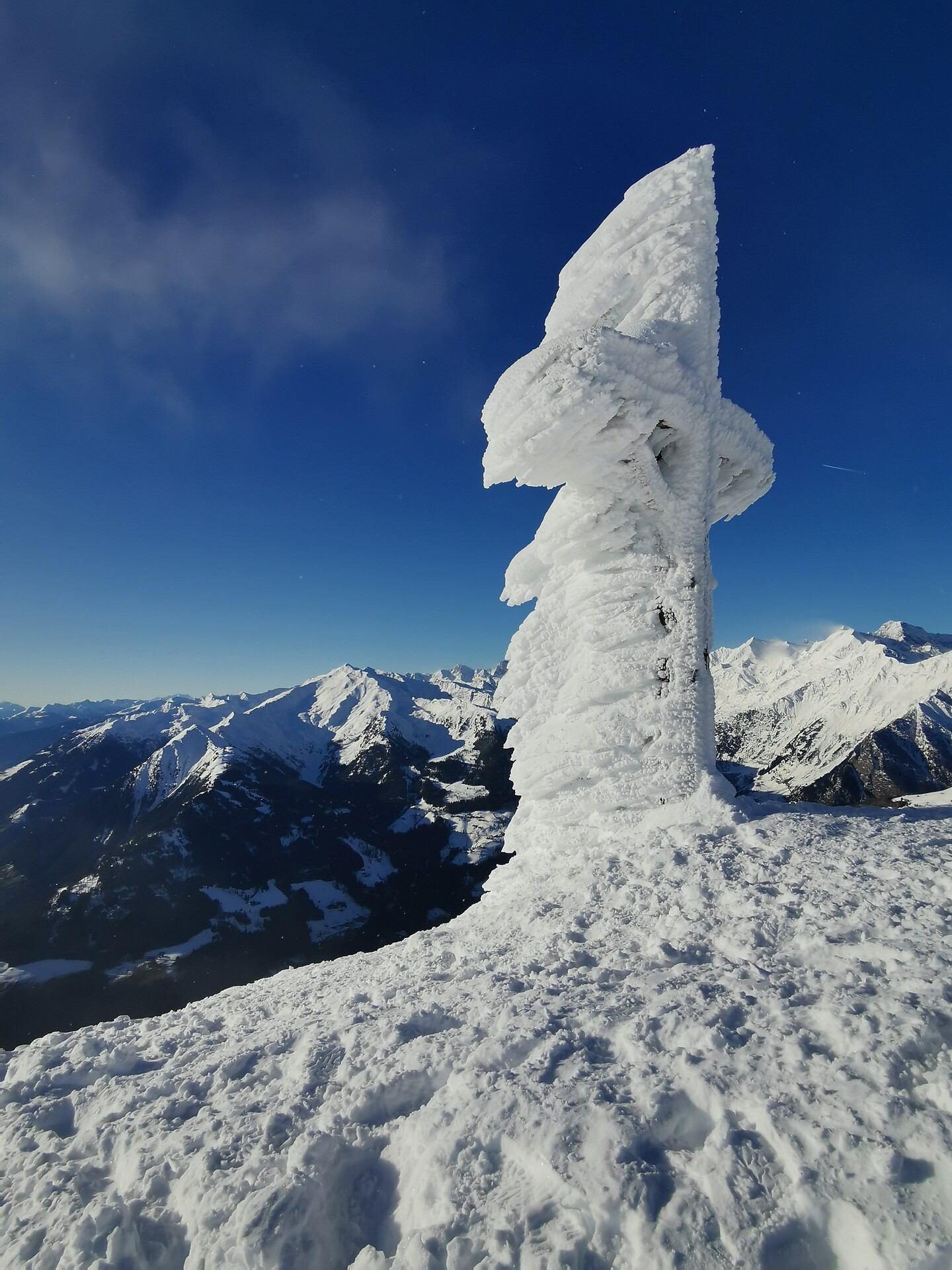
Route B
Starting point: Maso Corto/Kurzras, mountain station Grawand (3,212 m a.s.l) or Refuge Bella Vista (2,842 m a.s.l – with overnight stay)
Ascent: 1,150 m elevation gain, 5 hours
Best time: March to the beginning of May
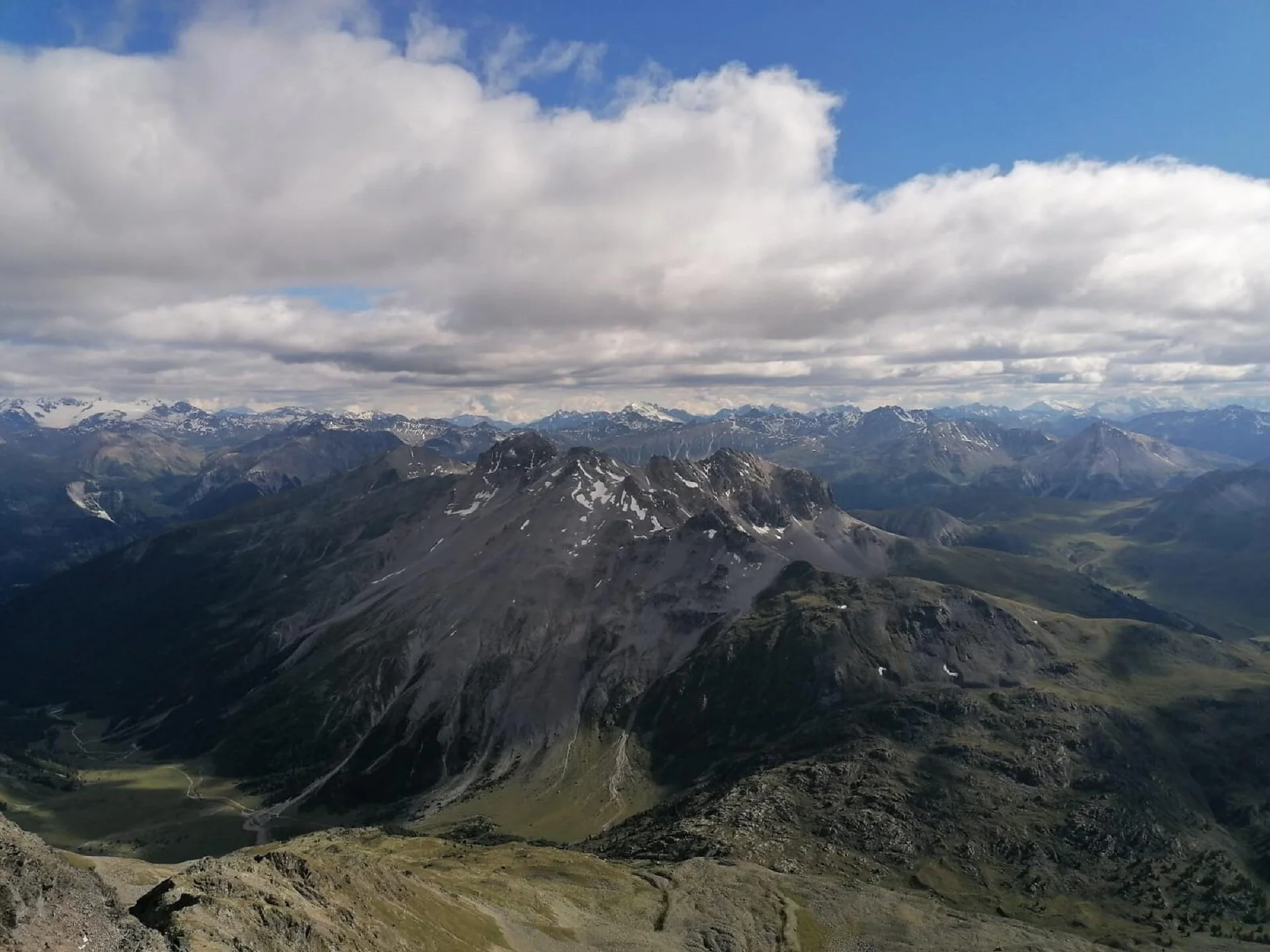
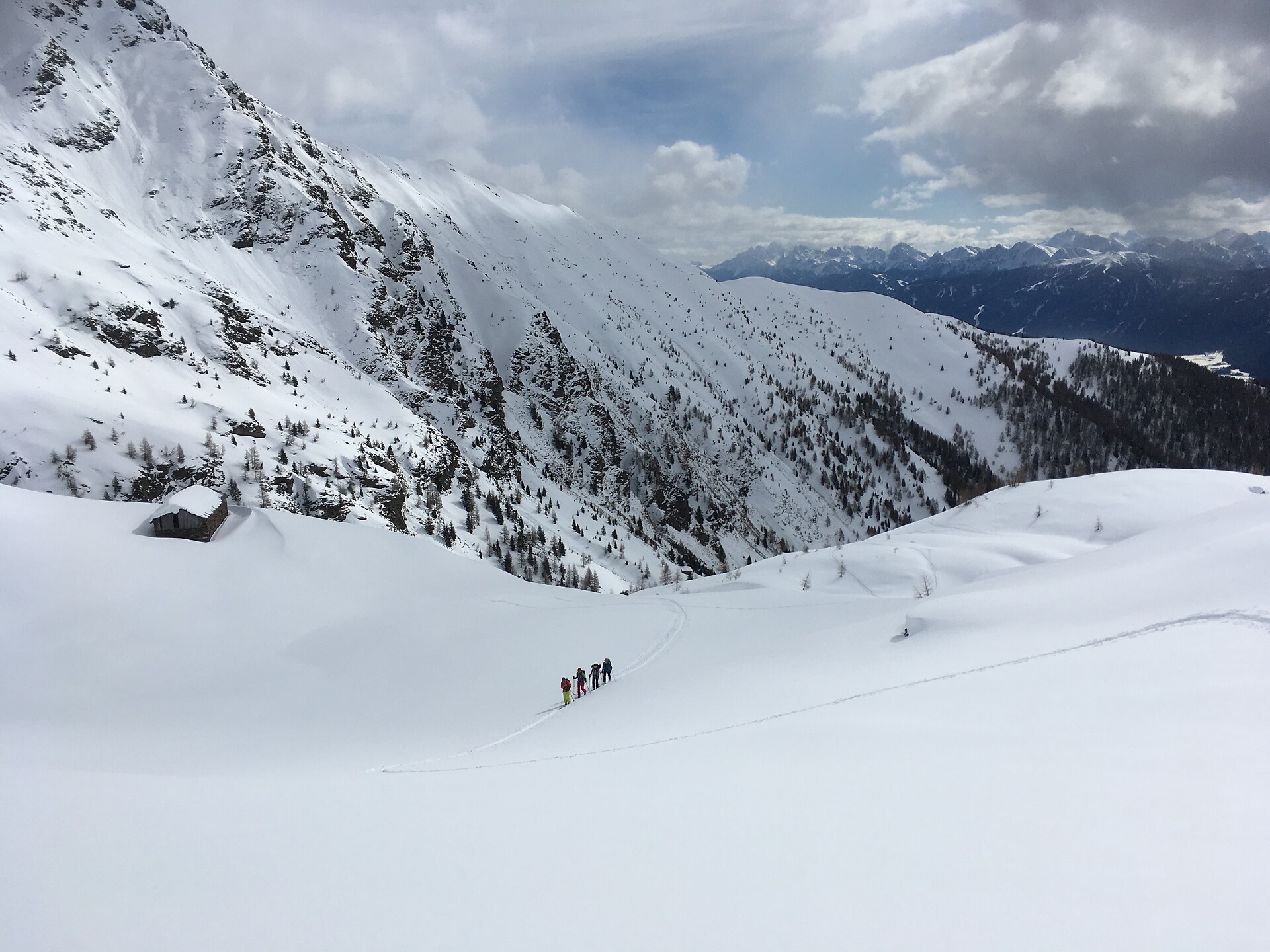
The tour starts at the Hintereis chair lift mountain station. The trail continues diagonally westwards, beneath the Im Hinter Eis mountain (3,270 m a.s.l) to the ridge shoulder at 3,163 m a.s.l. Downhill to the Hintereisferner glacier as far as the trail that comes up from Vent. Arrive at Hintereisjoch pass having passed over the flat Hintereisferner glacier, from there northwards and over the south ridge to the secondary summit of the Weißkugel. You can descend by the same route or by the route described in Route A or C.
For good skiers with Alpine experience
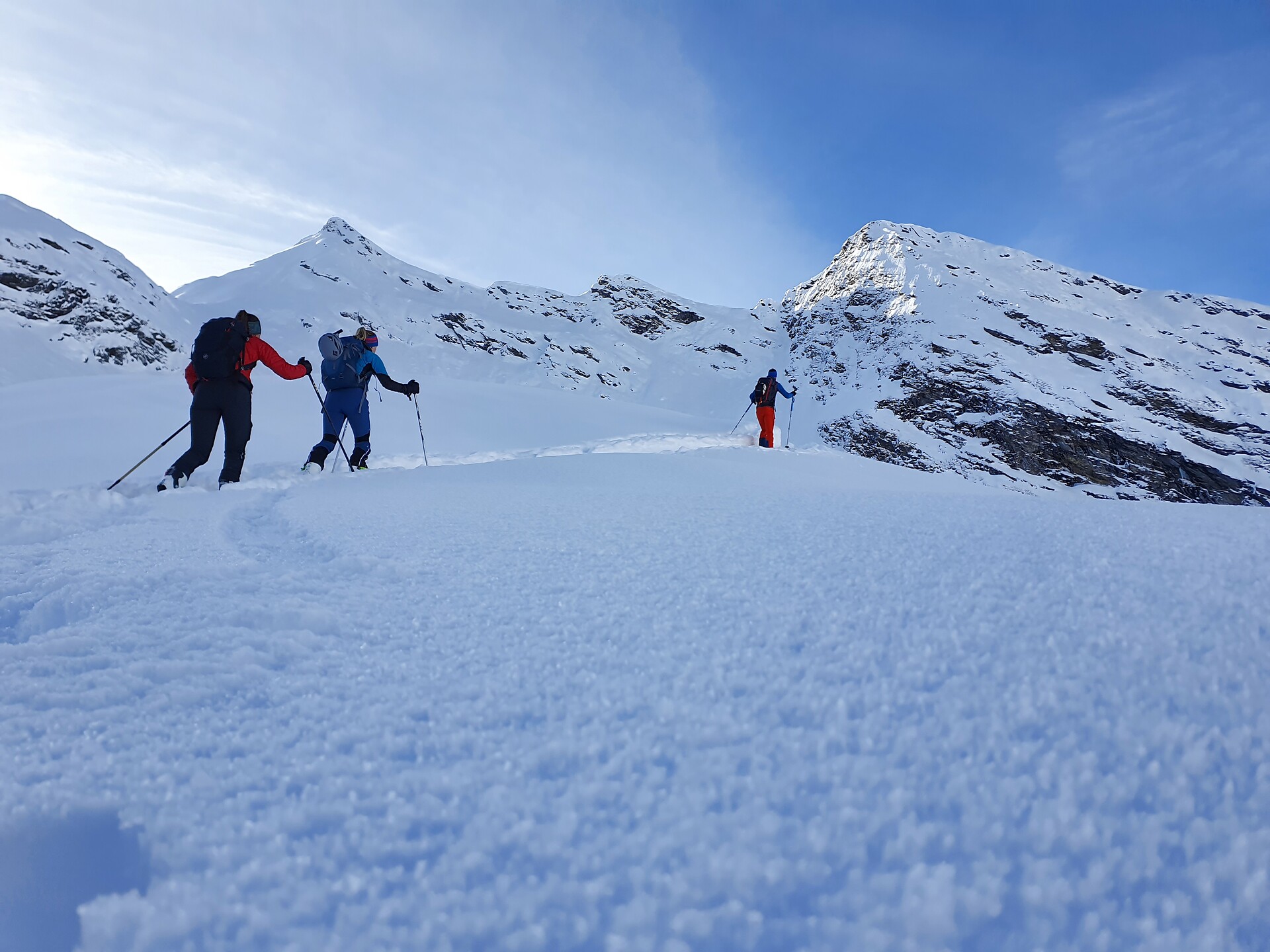
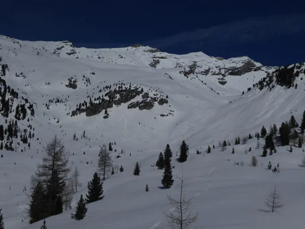
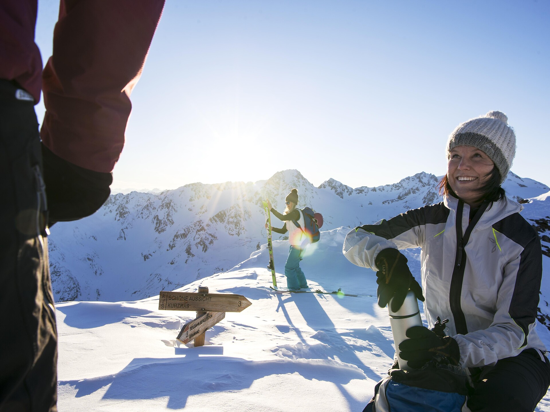
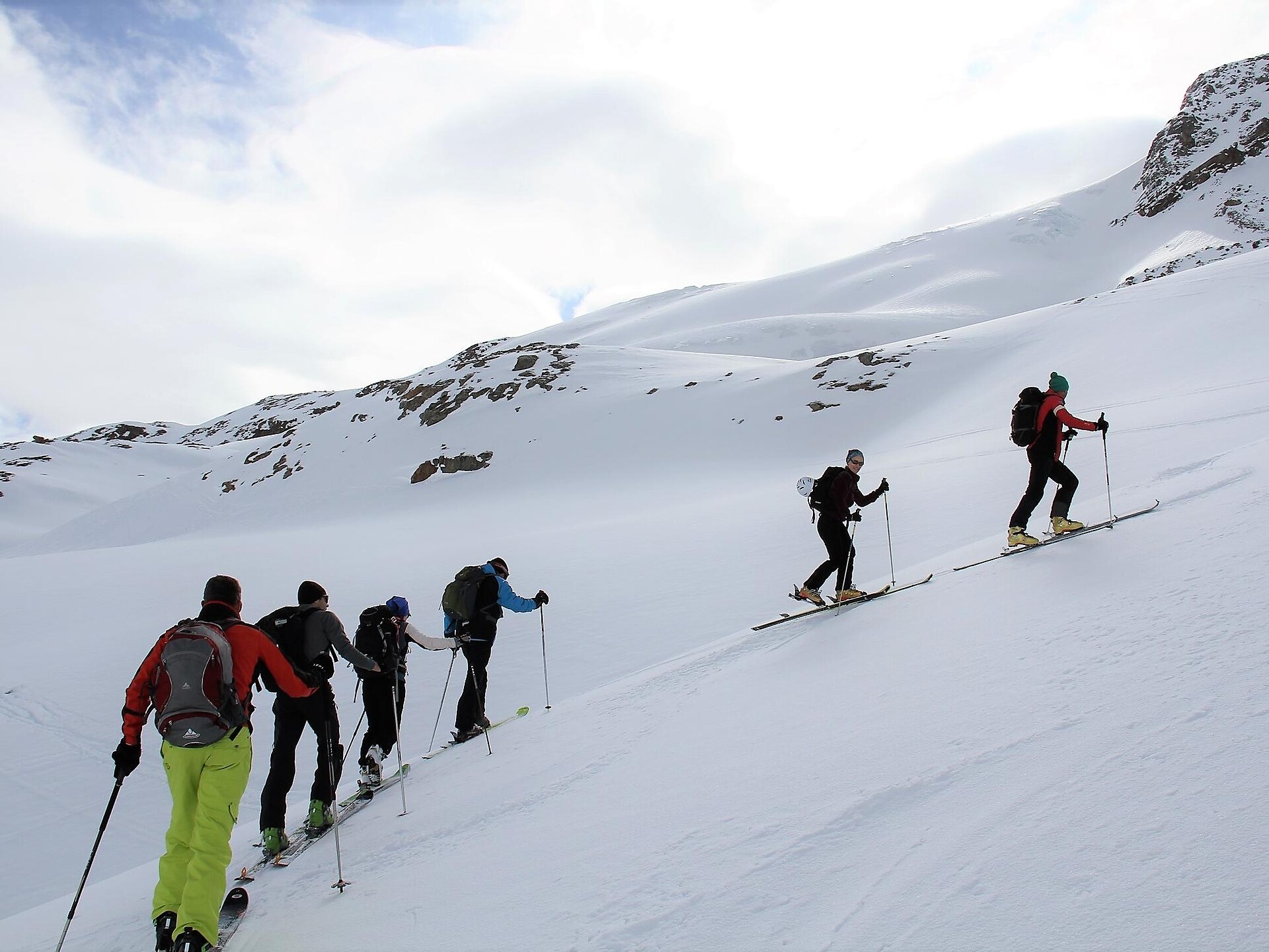
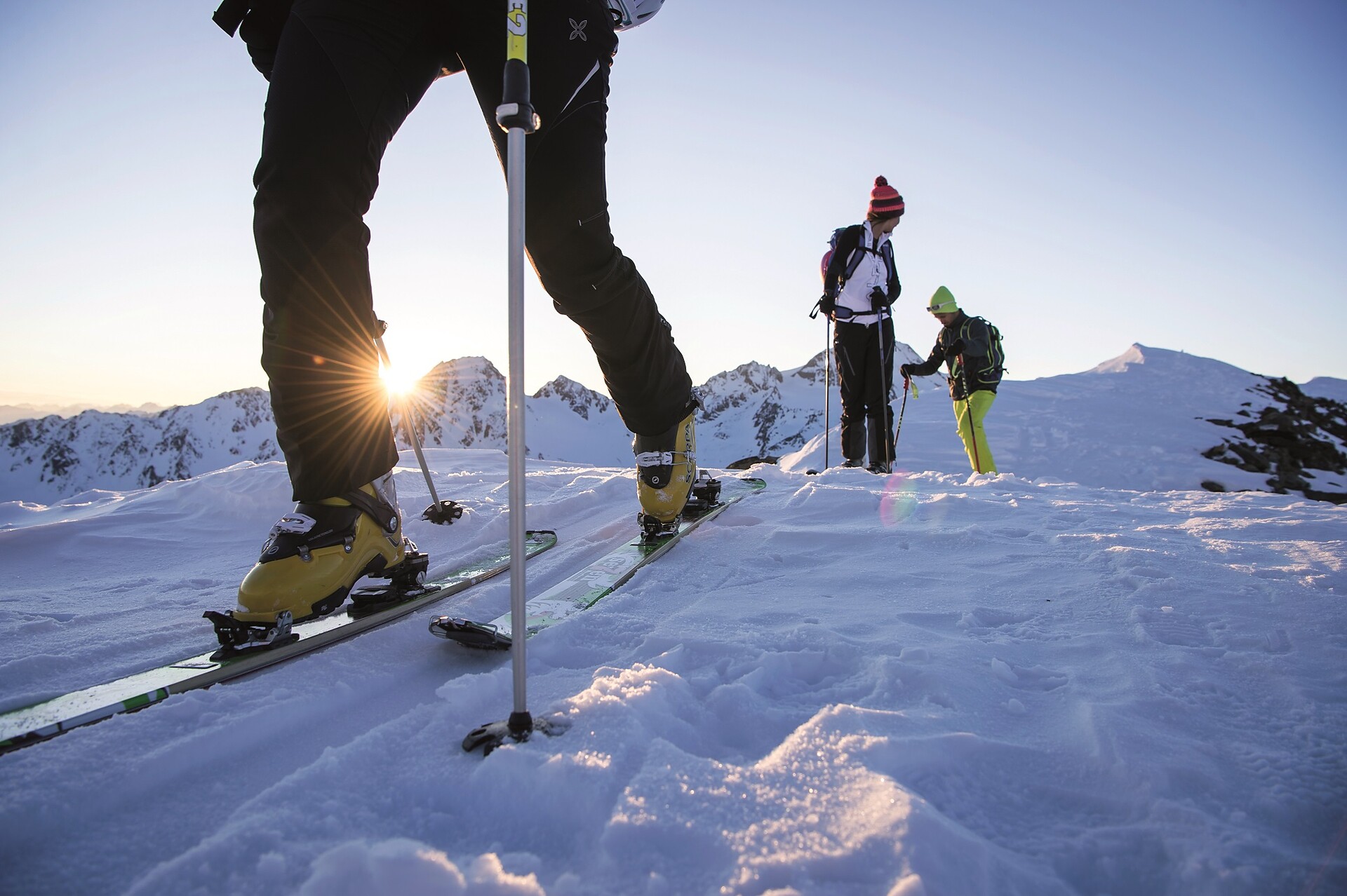
Route C
Starting point: Maso Corto/Kurzras, mountain station chairlift Teufelsegg (3,034 m a.s.l)
Ascent: 1,000 m elevation gain, 4 hours
Best time: March to the beginning of May
with the construction of the chairlift Teurelsegg, the tour to the Weisskugel peak is mainly started from there. The disadvangage, however, is that many tourers usually start at the same time. The ascent is via Teurelsegg (3,227 m a.s.l) from there short descent to the Hintereisferner. Via the flat Hintereisferner you reach the Hintereisjoch (3,471 m a.s.l). From there turning north, overcoming the steep mud wall and over the south degree to te pre-peak of the Weißkugel (there is a skidepot). To the 30 m main summit one reaches an exposed degree. The descent is the same as the ascent route and then back down to the valley via the slopes, both routes variant A an B for good skiers with alpine experience.