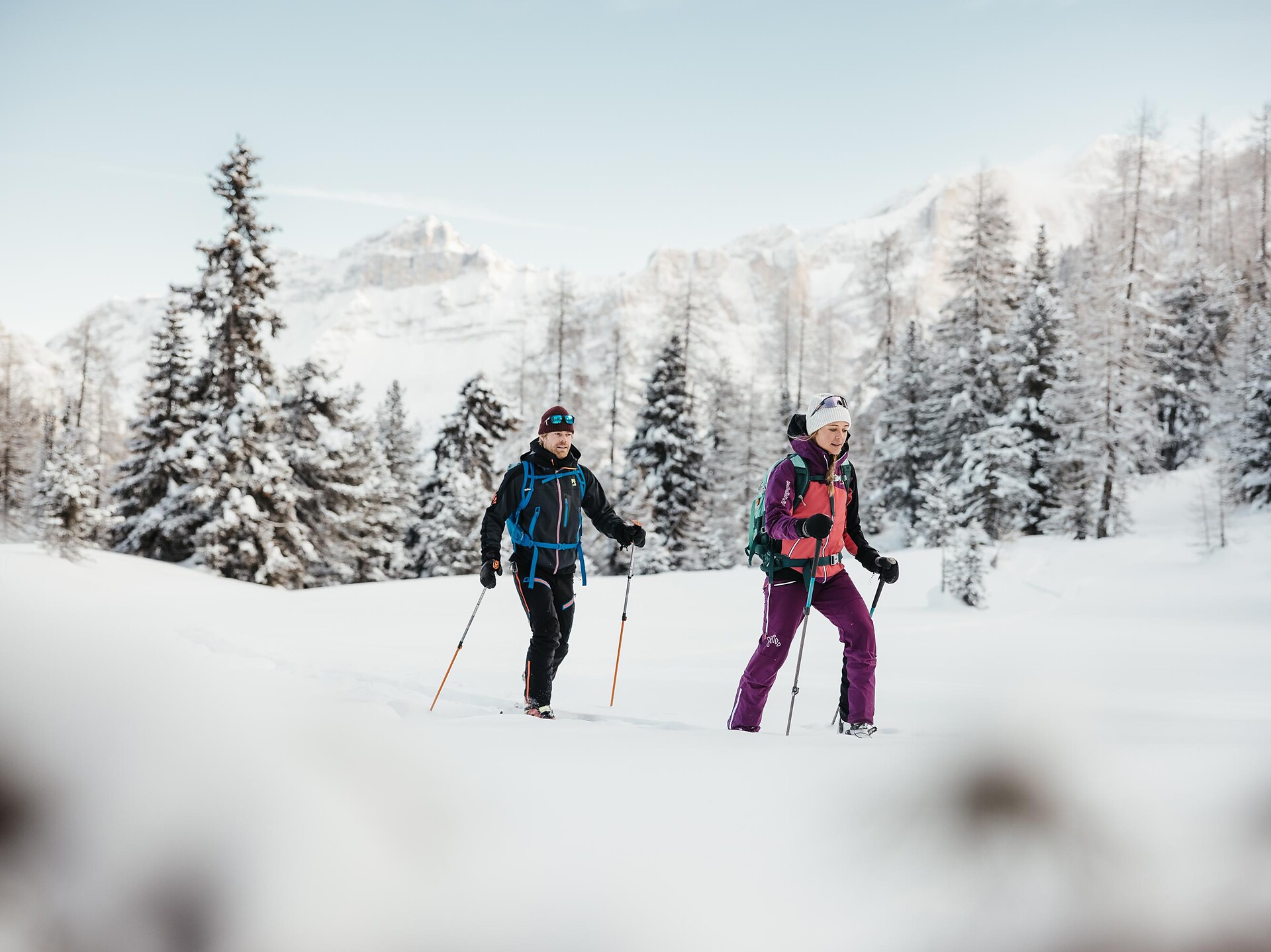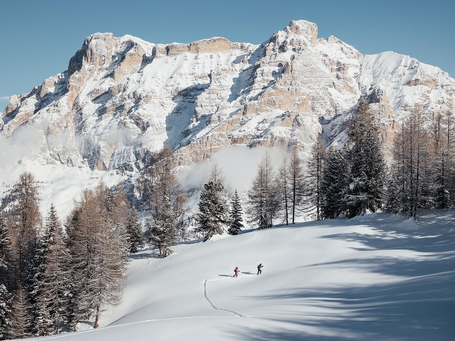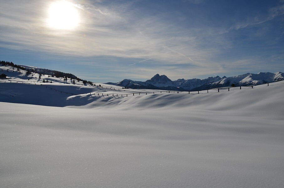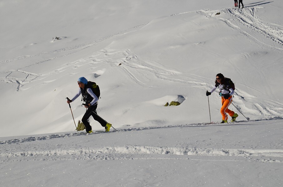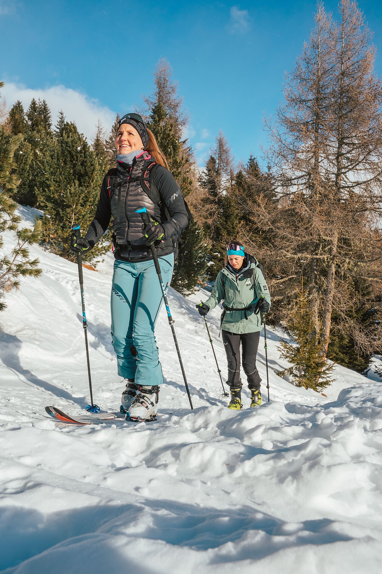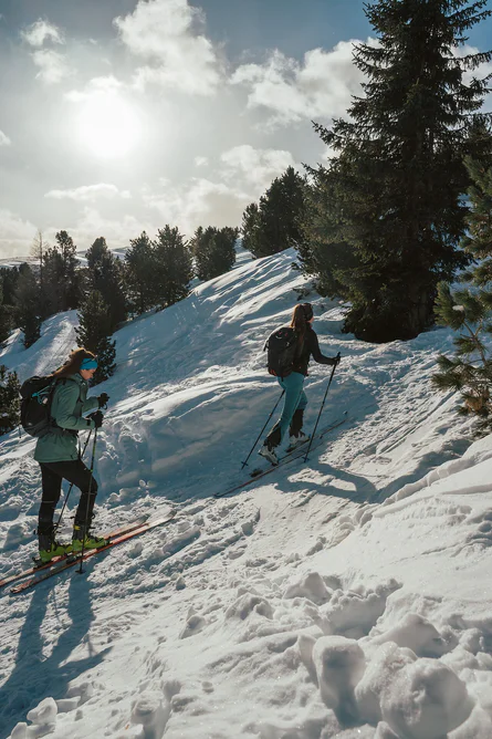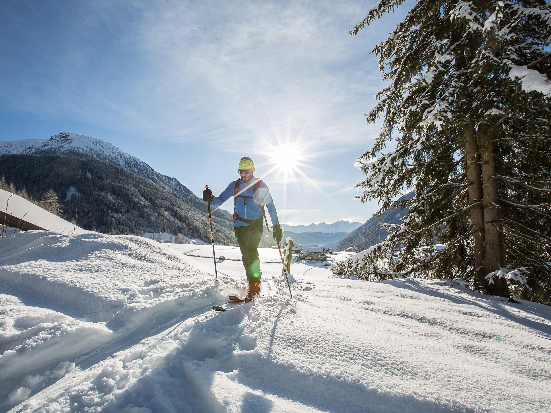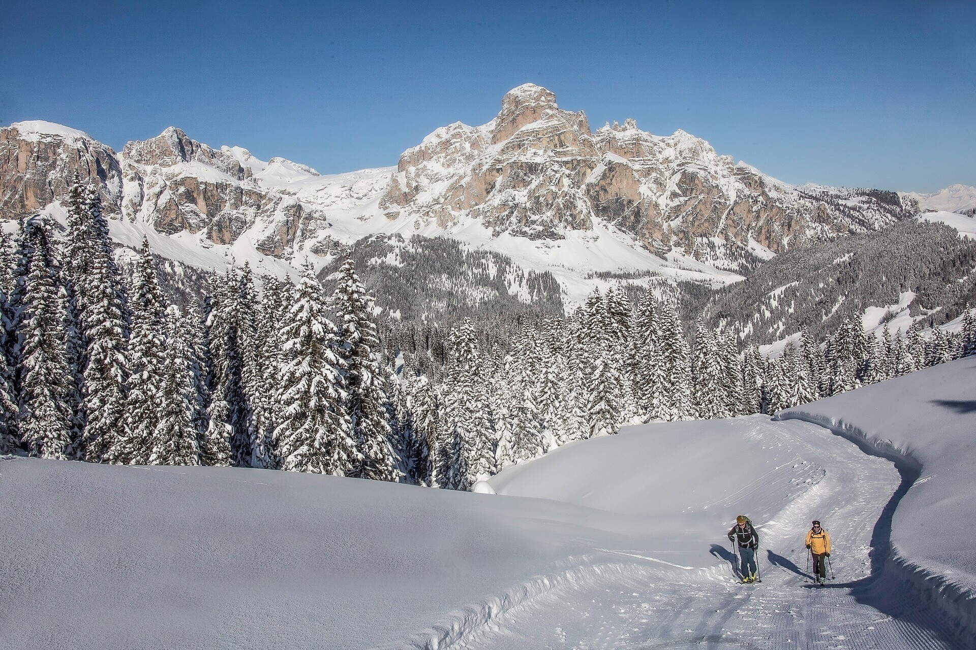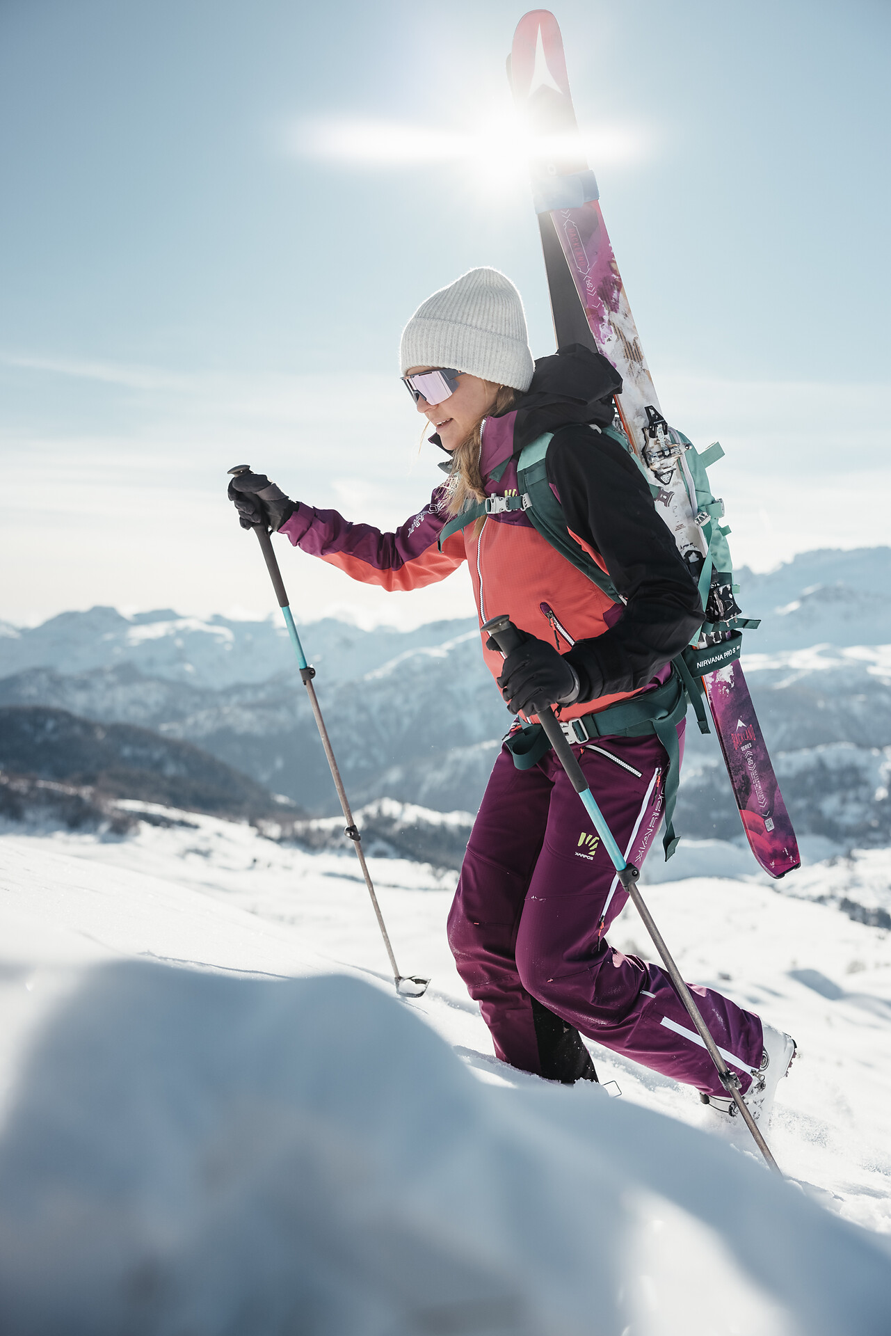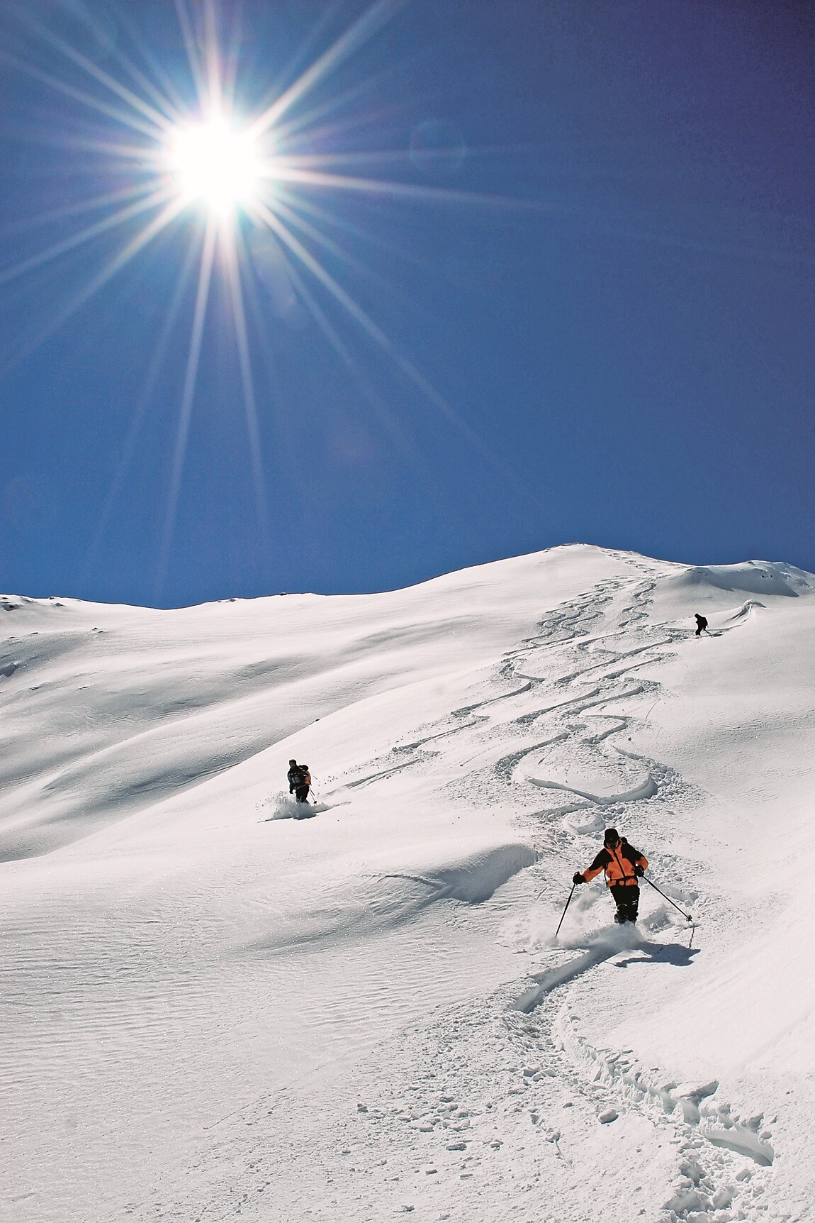
Ski Tours
Kiens/Chienes, Dolomites Region Kronplatz/Plan de Corones
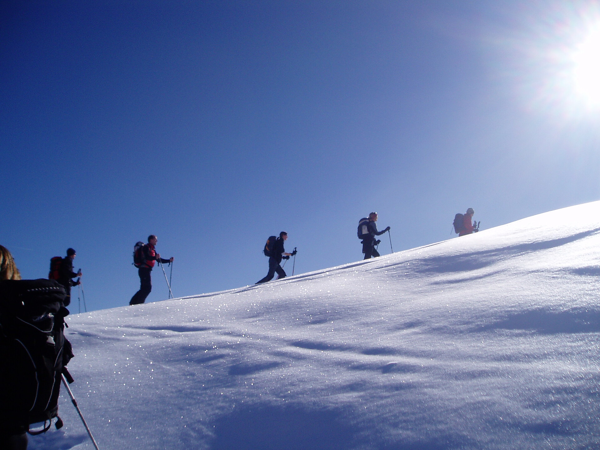
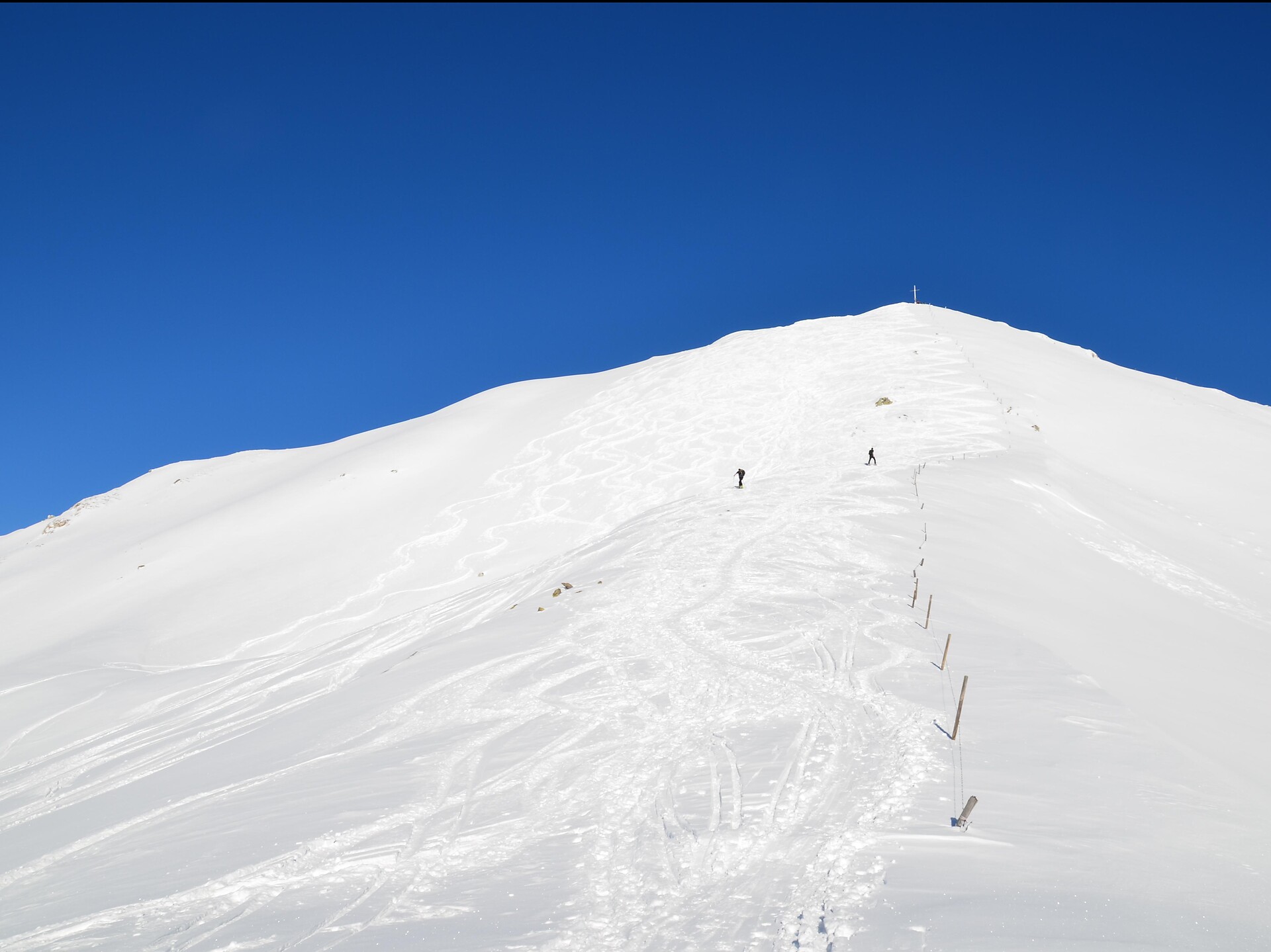
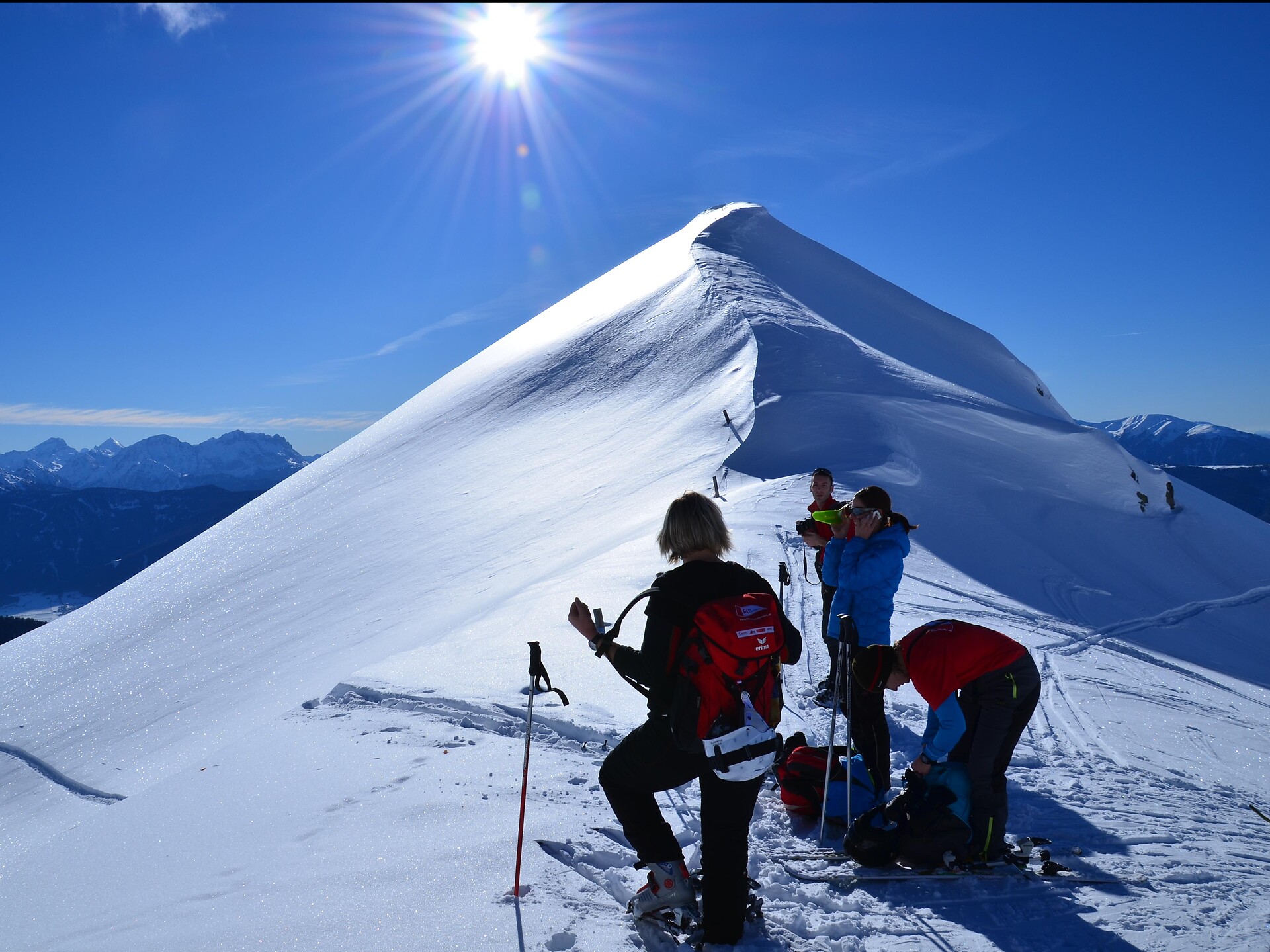
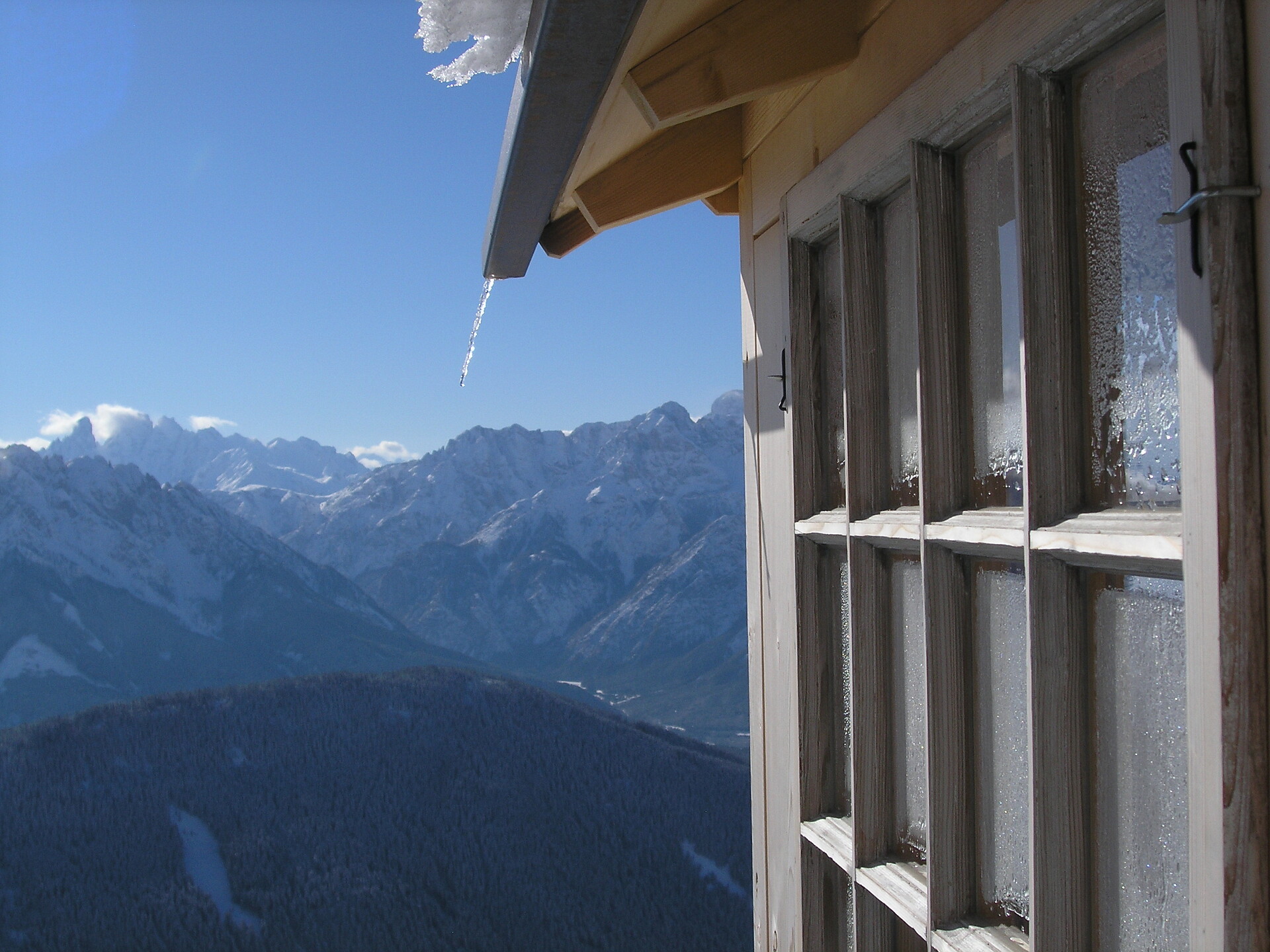
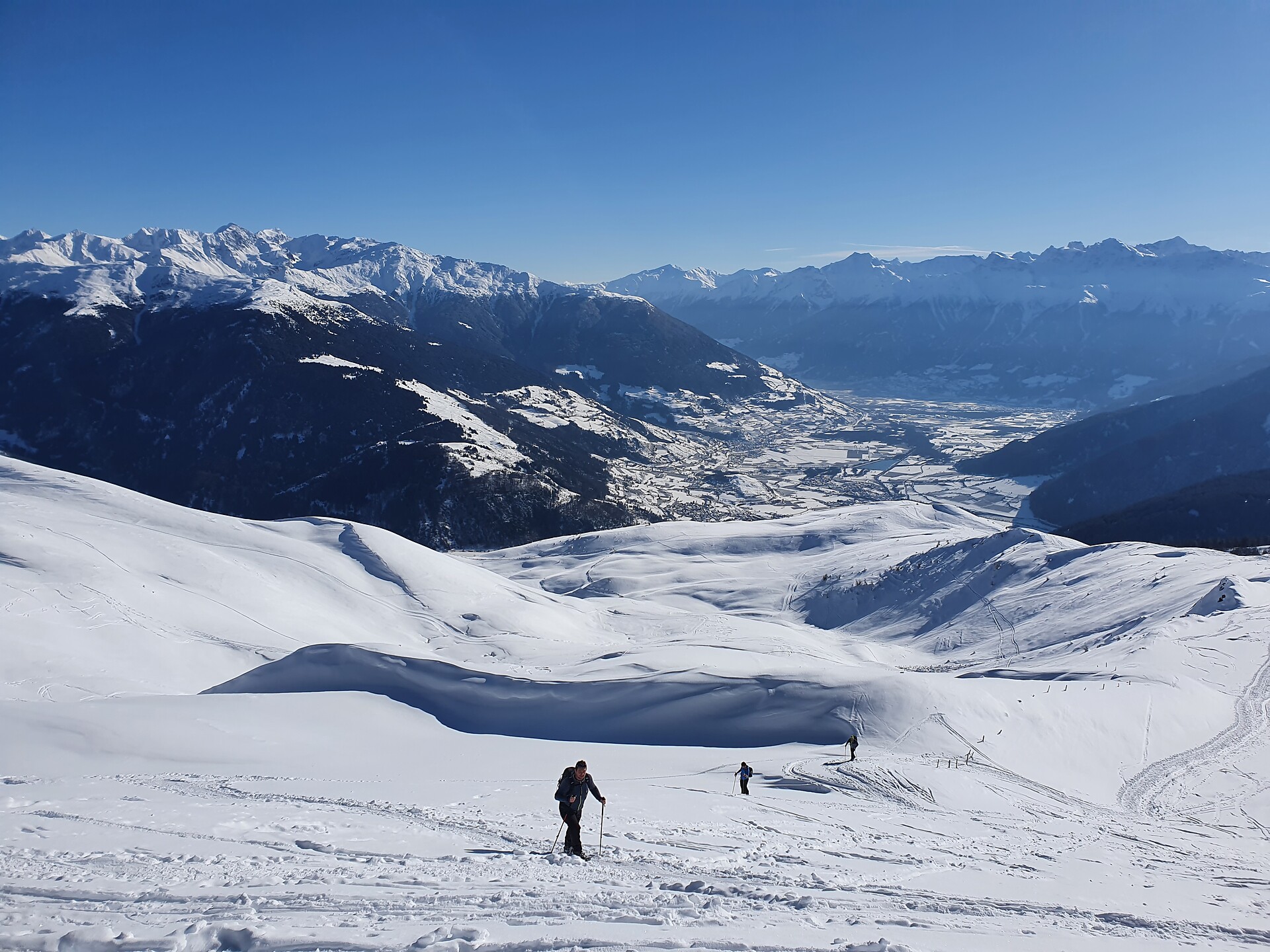
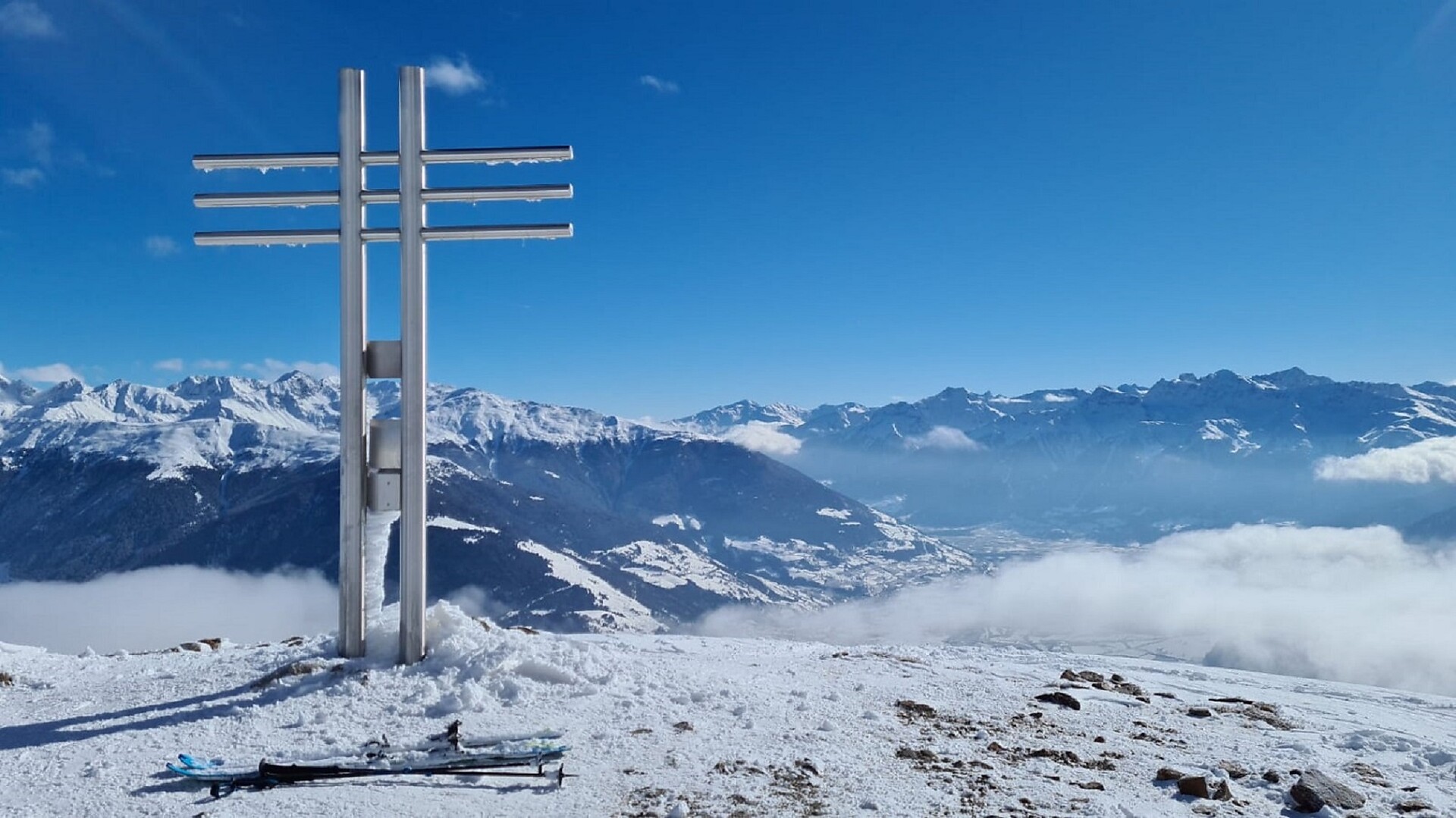
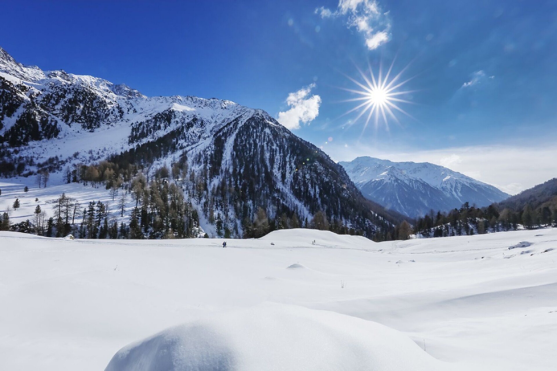
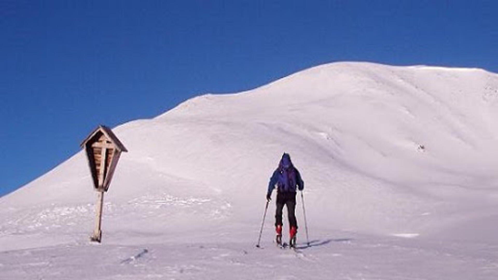
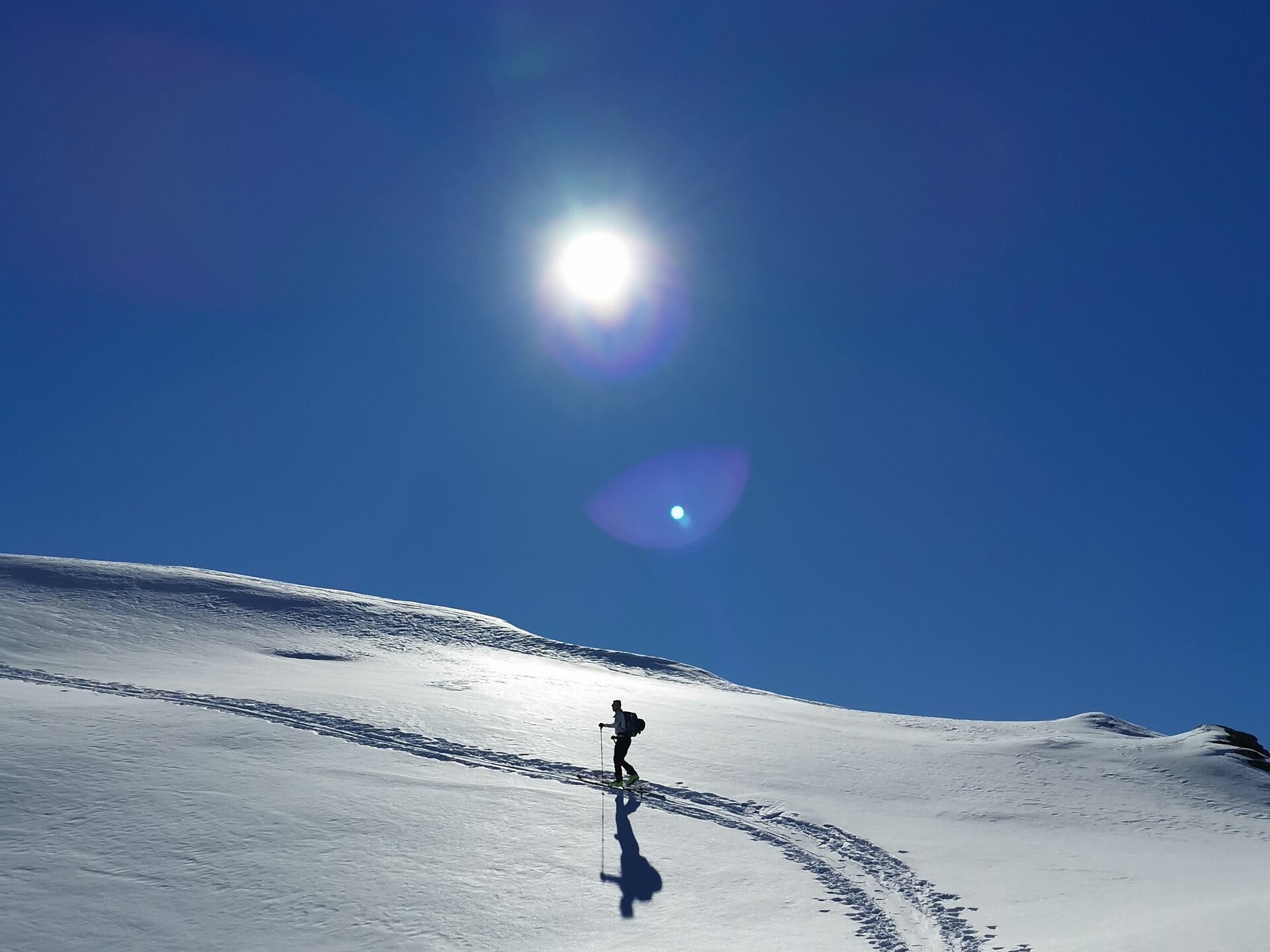
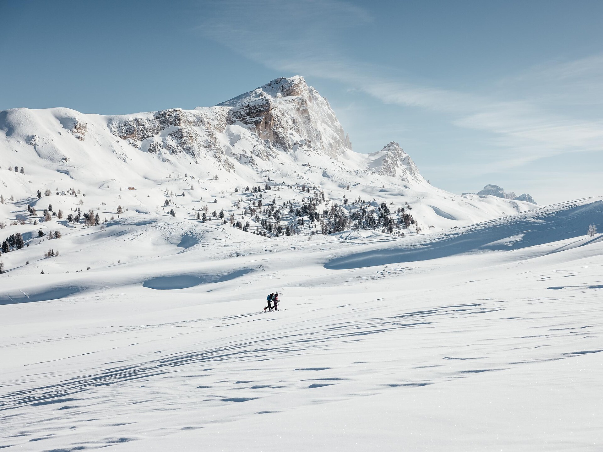
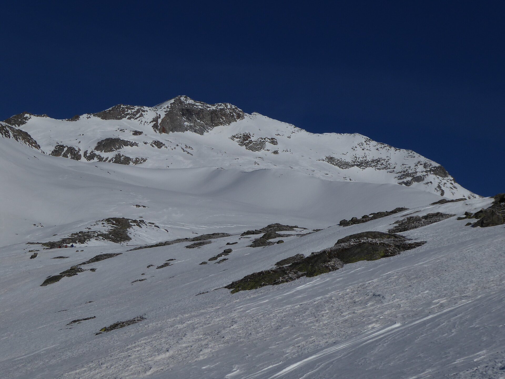
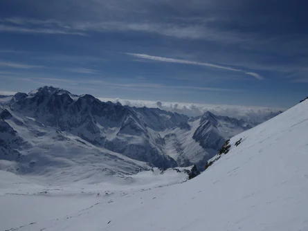
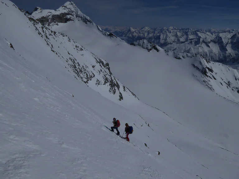
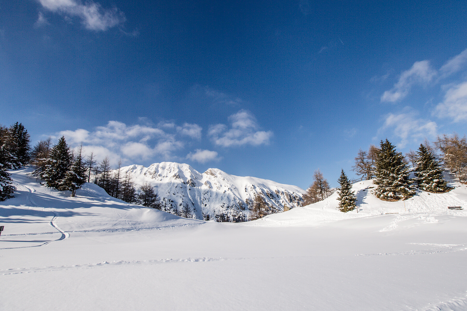
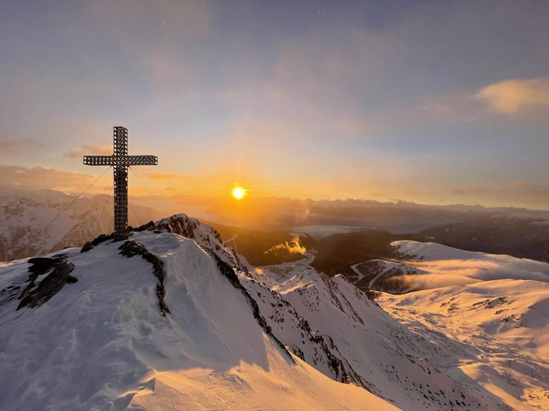
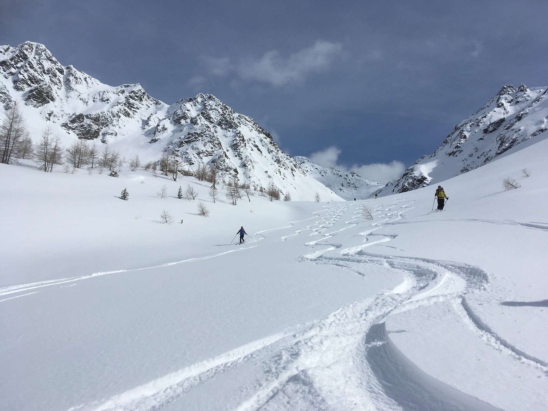
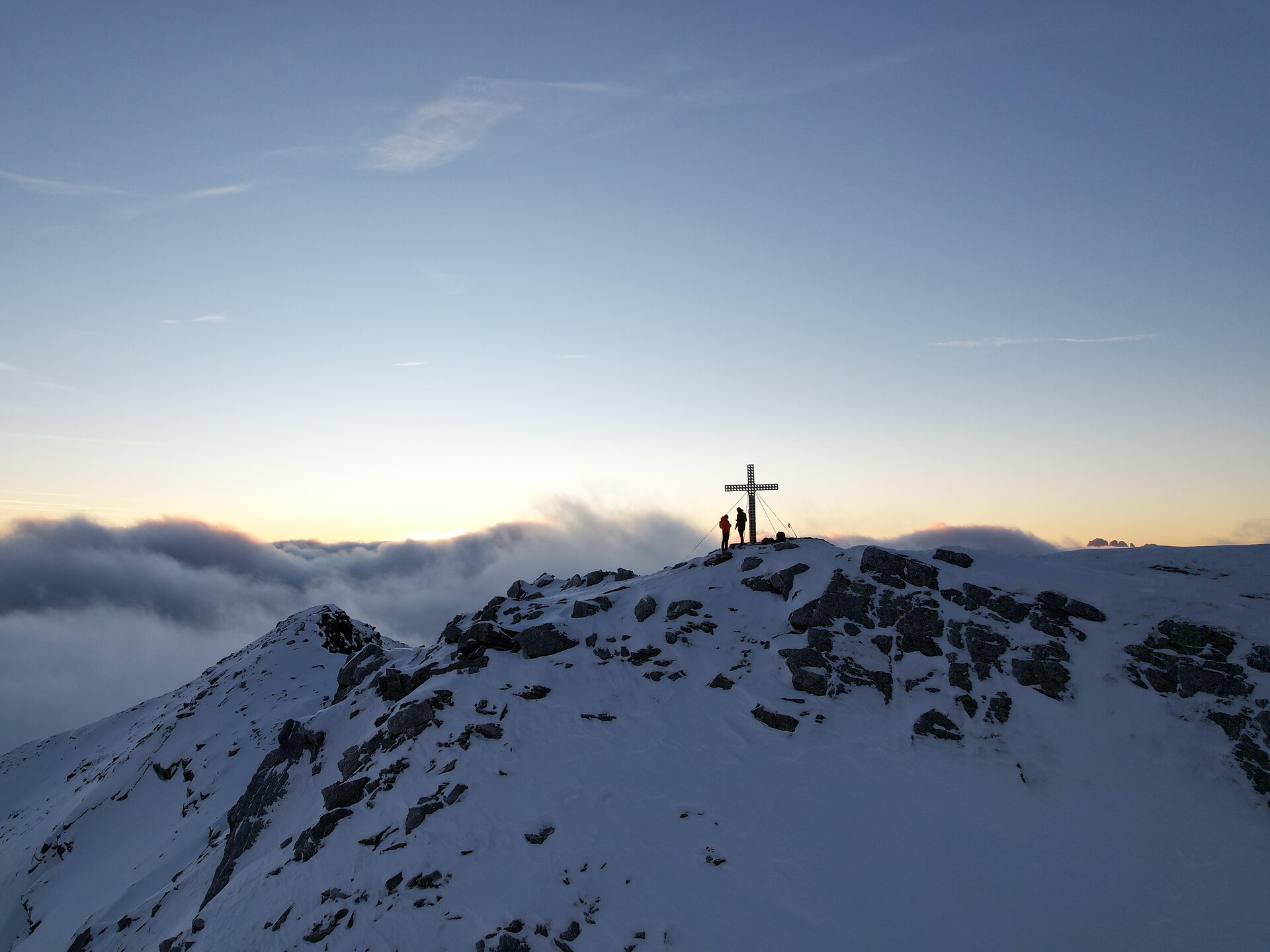
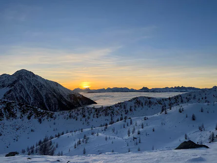
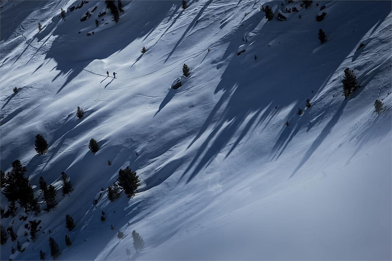
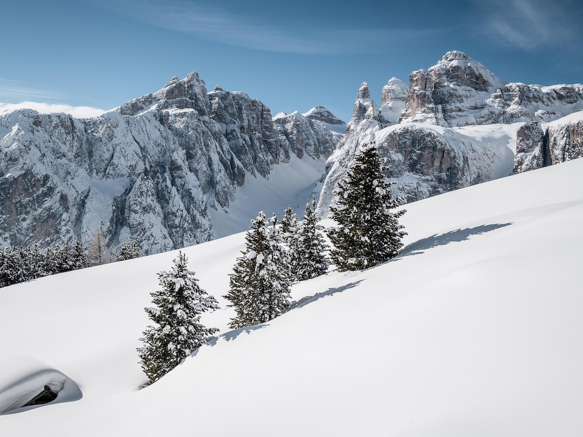
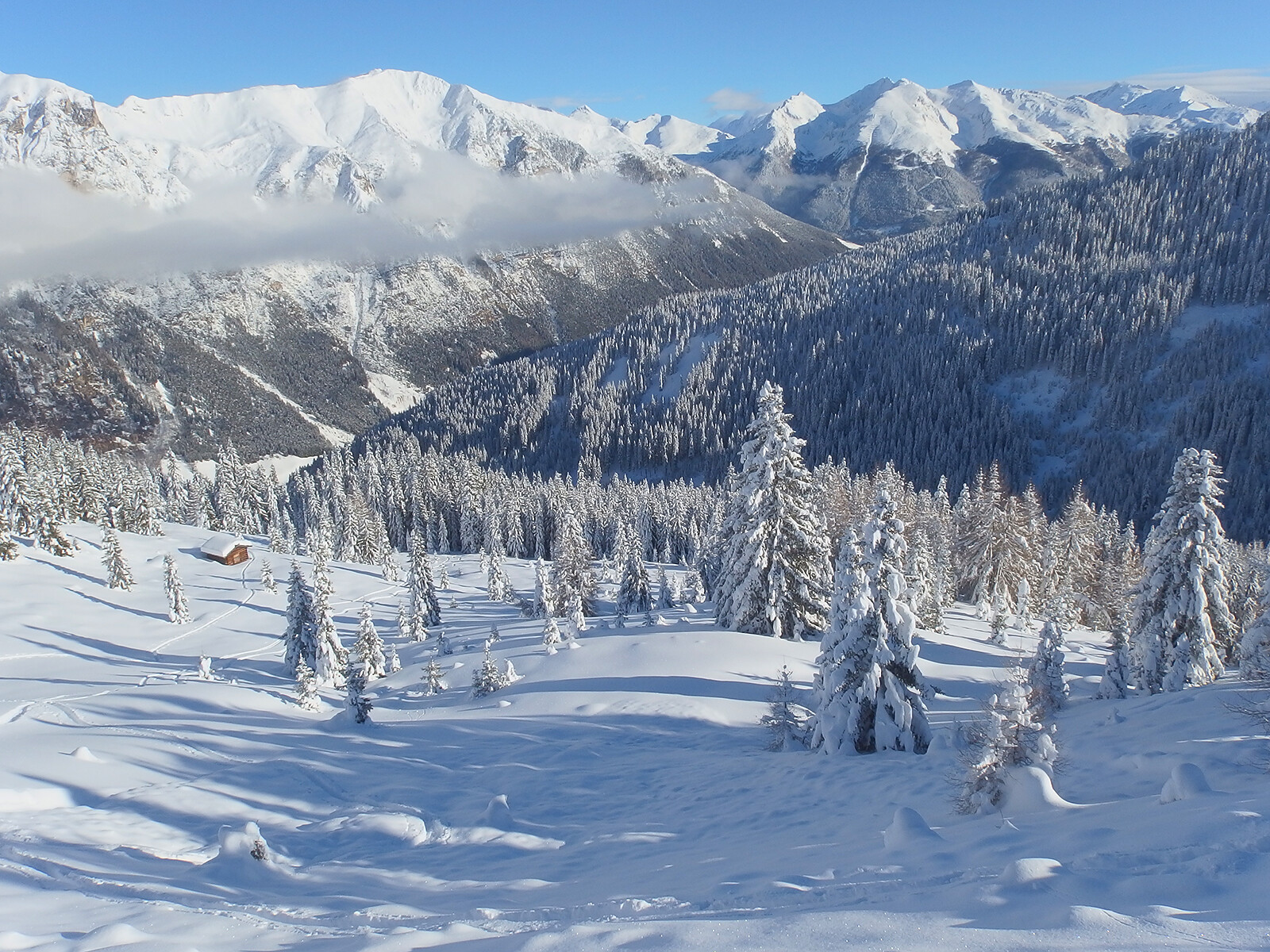
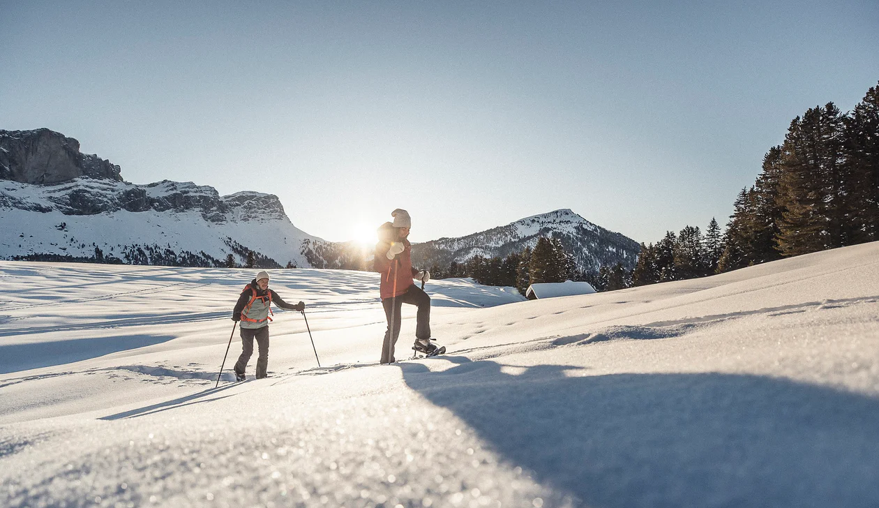
The Fundres/Pfunders massif offers a wide range of hiking options with anything from soft-rolling hills to steep slopes leading up to craggy peaks. Gorgeous excursions for both summer-time hikers and winter sports fans – all topped off by breath-taking 360° panoramic views.