Barrier-Free
Ritten/Renon, Bolzano/Bozen and environs
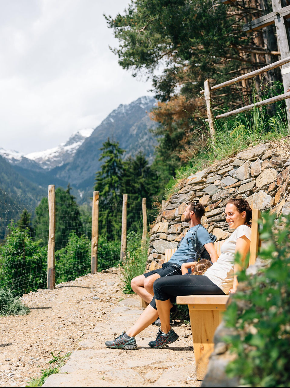
Freud Promenade: named after its most famous guest, the founder of psychoanalysis Dr Sigmund Freud, the promenade is ideal for a leisurely walk from Oberbozen to Lichtenstern and Klobenstein.