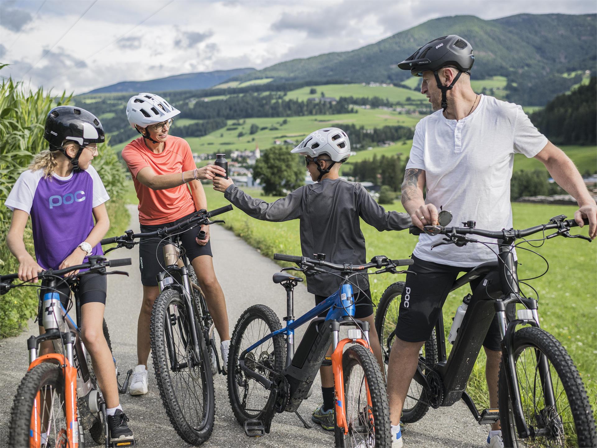
Cycling
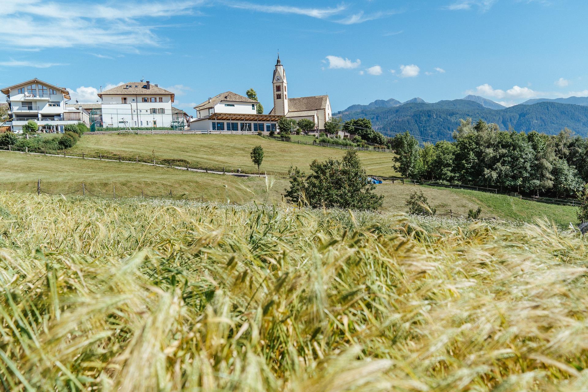
Sëlva/Selva, Dolomites Region Val Gardena
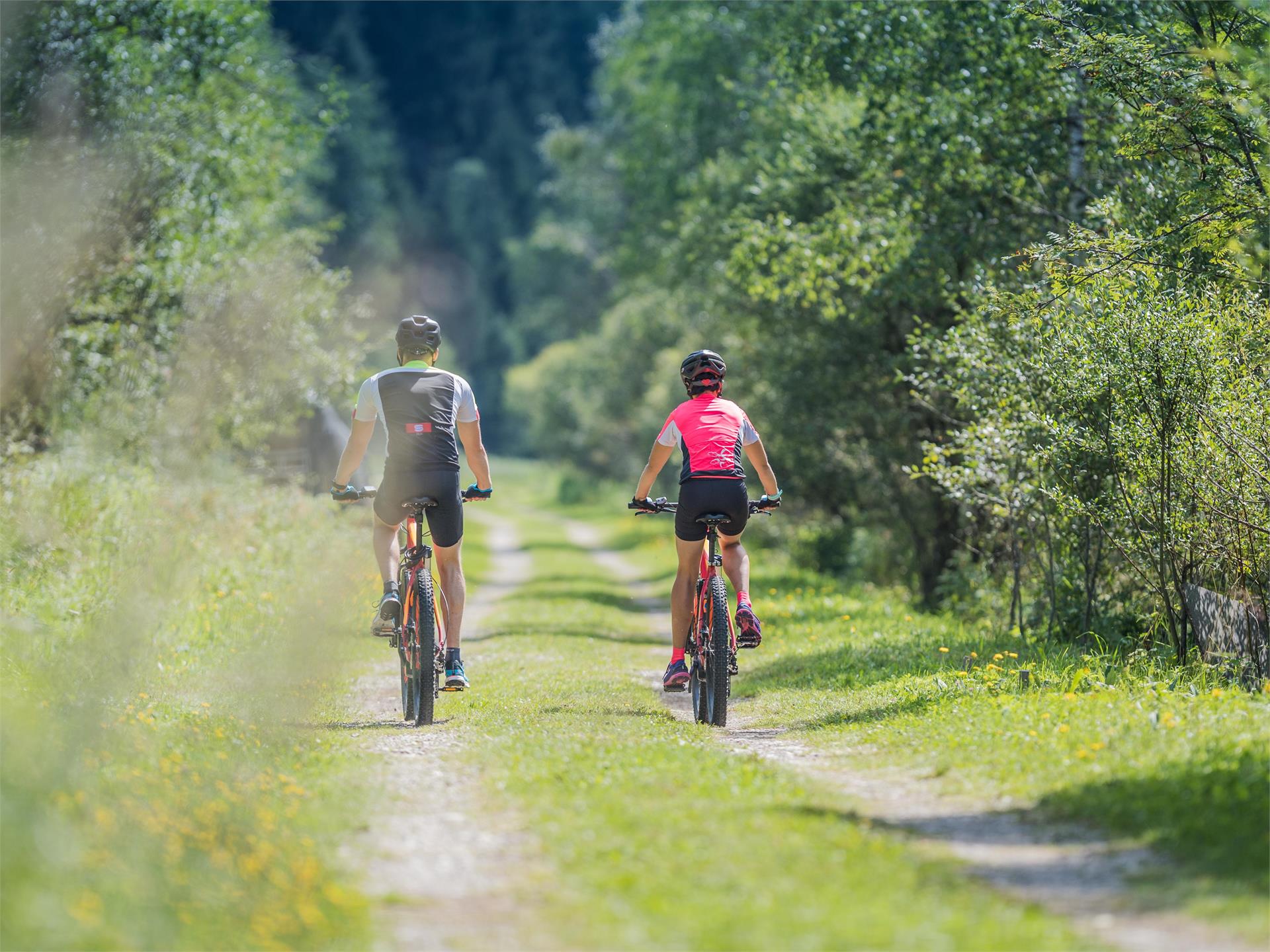
This tour impresses with its wonderful views of the Sassolungo and Sella massifs and the fewer metres in altitude that you have to climb under your own muscle power. Bikers who like to ride downhill and have a good basis in mountain bike riding technique will love this tour. Also for kids who are already good mountain bikers, the trails of this tour guarantee a perfect biking day. Surrounded by breathtaking panoramas and thanks to the lift support from the Ciampinoi cable car and the Gran Paradiso chairlift, the tour can easily be completed in half a day.