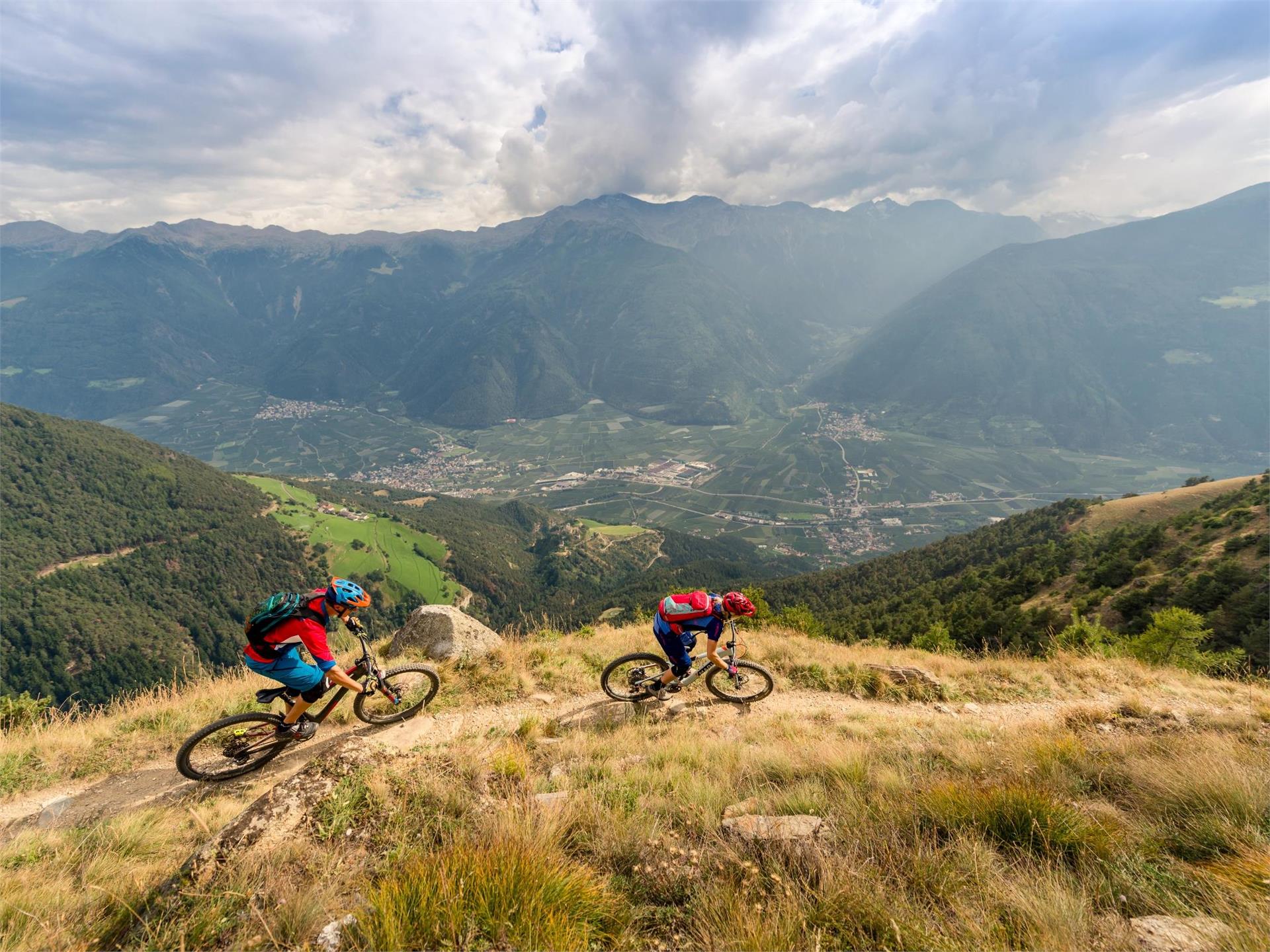
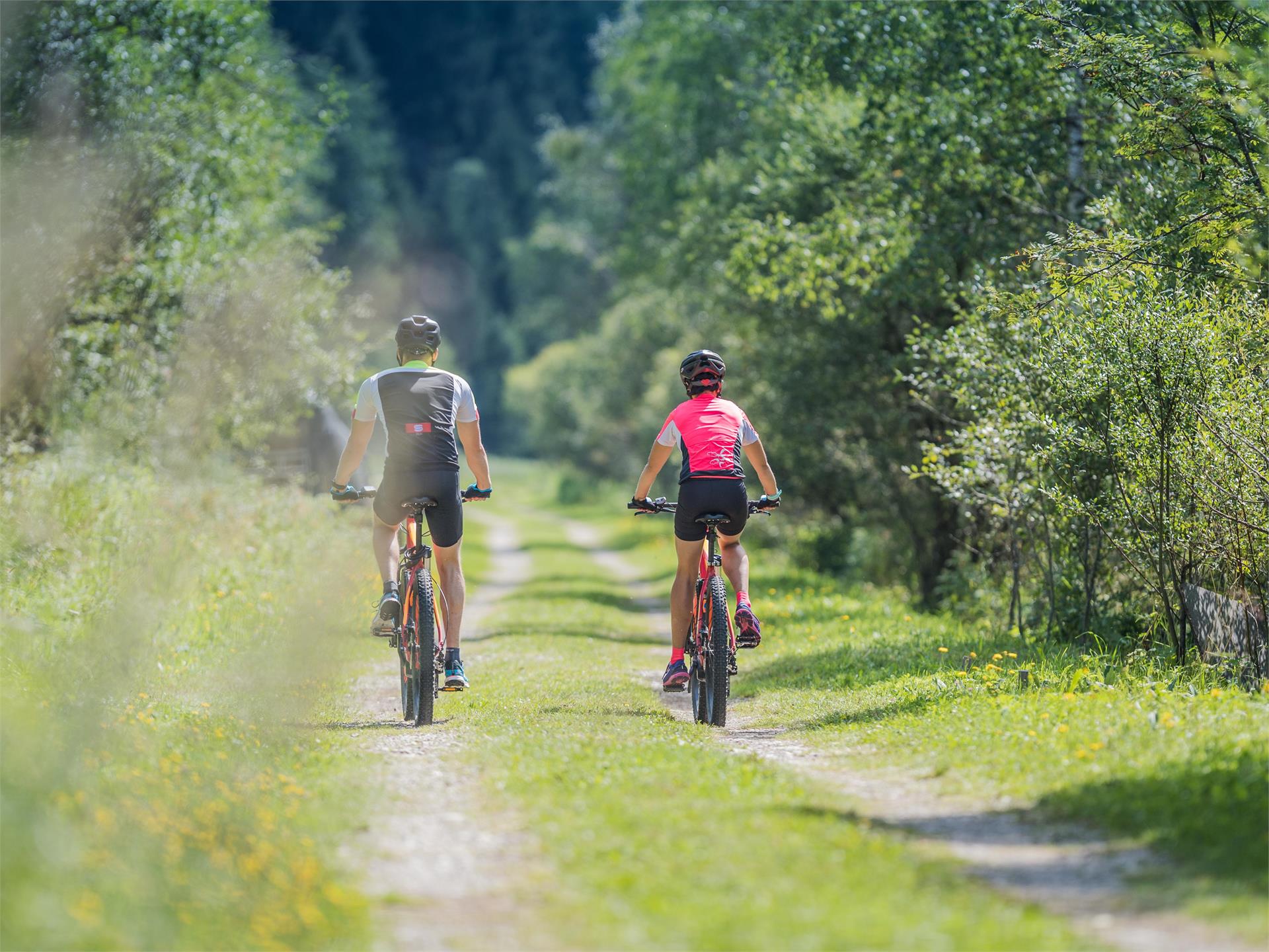
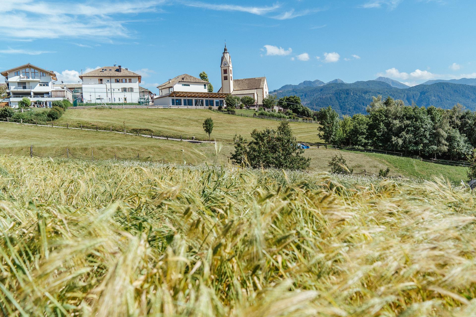
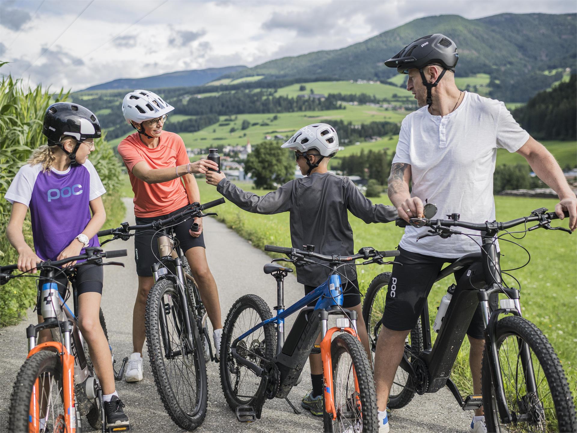
Ga meteen naar de inhoud
toegevoegd aan favorieten
verwijderd uit favorieten
Helaas is er een probleem opgetreden. Probeer het opnieuw.
Uw account wordt aangemaakt
Je account is succesvol aangemaakt en je bent nu ingelogd
U bent uitgelogd
Filteren
Geselecteerde filters
    Moeilijkheidsgraad
    Duur
    Afstand in km

    MTB-tochten en trails

    Pure adrenaline voor een indrukwekkend berglandschap: MTB-tochten in Zuid-Tirol bieden plezier voor elke biker. Op pad, aan de slag! Verken als freerider het dal in Vinschgau, ontdek de Alpe di Siusi, de grootste alpenweide van Europa, op twee wielen of voel de wind tijdens een vloeiende afdaling vanaf de Kronplatz. De MTB-tochten van Zuid-Tirol staan garant voor rijplezier en natuurbeleving.
    Resultaten
    Cycling
    Bike route Tauferer Ahrntal
    Sand in Taufers/Campo Tures, Brixen/Bressanone and environs

    The “Ahrtour” bike route runs through the entire Valli di Tures Aurina - Tauferer Ahrntal and promises an adventurous trip through nature itself. From the start in Brunico - Bruneck until Campo Tures - Sand in Taufers, the Ahrtour is a fairly flat and easy ride. This bike tour is an adventure for athletes and amateur bikers alike and of course it can also be enjoyed in individual sections.

    Moeilijkheidsgraad: gemiddeld
    92 Hoogtemeters
    15.9 Km Route
    Mountain bike
    MTB Area in Anterselva di Sotto / Antholz Niedertal
    Rasen-Antholz/Rasun Anterselva, Dolomites Region Kronplatz/Plan de Corones

    "Are you searching a change to cycling? The true bike adventure begins by mountain biking in the Anterselva Valley! "

    Both children and adults will enjoy the new MTB area behind the fish pond in Anterselva di Sotto. 3 downhill tracks with different degrees of difficulty and a pumptrack for children awaits you.

    Moeilijkheidsgraad: gemakkelijk
    48 Hoogtemeters
    1.5 Km Route
    Cycling
    Premstl-Stallwies Tour
    Martell/Martello, Vinschgau/Val Venosta

    Start at the visitor center culturamartell in Trattla and take the Val Martello path until Ganda and then towards Stallwies. Turn right above the Premstl inn and follow the road towards Radund. Take the forest road towards "Platzer Mahd". Continue on the forest road and enjoy the nature passing by mighty larches and lush mountain meadows. We warmly recommend you to stop at the Stallwies mountain inn that awaits you with excellent South Tyrolean cuisine. Return on the same route and don’t forget to make a detour to the "Suachbichl" viewpoint.

    Moeilijkheidsgraad: gemakkelijk
    819 Hoogtemeters
    11.1 Km Route
    Mountain bike
    E-Bike Tour Albeins-Nafen-St. Peter-Ranui
    Villnöss/Funes, Dolomites Region Villnösstal

    Enjoy mountain bike tours also on steeper trails with the latest e-bike. Even beginners will be impressed by the electric mobility! Explore effortlessly the Geisler mountain landscape with an E-Bike. It’s emission-free, climate-friendly and without being stiff and sore.
    E-Bikes are for everyone due to the very simple operation. Overcome steep inclines with ease and cycle into the wind with a smile on your face, because that makes your bike trip even more fun.

    Moeilijkheidsgraad: gemakkelijk
    1082 Hoogtemeters
    23.1 Km Route
    Mountain bike
    Montesole (Sunny Benny) Trail
    Latsch/Laces, Vinschgau/Val Venosta

    "One of the most beautiful trails in the Alps" – this is how Bike Magazine described the Montesole /Sunny Benny Trail in Val Venosta.

    This trail is passable nearly all year round and takes you through the austere cultural landscape of Val Venosta’s Sun Mountain. You will not only enjoy the flowing passages, but also the fantastic panoramic views of Monte Tramontana and of the surrounding mountain peaks and glaciers. Start at the mountain station in San Martino in Monte and follow the asphalt road downhill. Turn right after 1.2 km and take hiking path no. 9 for the first broader warm-up trail passage. The main part of the trail with flowing forest floors and more difficult stone passages (partially S2) starts after a short asphalt road crossing at Birchaböden. Look forward to pure trail fun after a short crosswise drive on the Ratschillweg road to the newly built trail section with fantastic steep turns. The successive flatter, flowing “Share the Trail” section starts after a few meters in altitude and takes you along Piani di Annenerg. Continue until the suspension bridge, pass by the cairns and take the partially steep path no. 5 to Tiss. Variant: You can also take path no. 5A to Tiss, just before the suspension bridge. Return on the asphalt road towards Laces or Coldrano. Please note: “Share the Trail” sections for some parts, especially on paths no. 5 and 7. Please show consideration for hikers as they have right of way!


    Moeilijkheidsgraad: gemakkelijk
    0 Hoogtemeters
    6.0 Km Route
    Mountain bike
    Latscher Panorama Trail
    Latsch/Laces, Vinschgau/Val Venosta

    A fireworks of trails for experts with head for heights due to exposed S3-G5 passages at the Laces panoramic trail. S2 at the successive Propain trail.

    The name of the Laces panoramic trail says it: the panorama is amazing. But this trail is also simply marvelous as it includes everything from technical and exposed passages with hairpins to flowing forest trails and stepped passages. Start at the mountain station of San Martino in Monte (1,740 m). First take the asphalt road and then the gravel hiking path no. 14. After about 2.5 km, the actual trail begins shortly after the Egghof.
    Please note: There is a time regulation from 10 a.m. to 2 p.m. for hikers only!
    The partially rather exposed path with some technical passages takes you along the slope passing by the Laggar and Zuckbichl ruins. You will be overwhelmed by the wonderful panorama again and again. After a few flow sections, steep hairpins and a short stretch where bikes have to be carried (S3-S4) you get to a forest road and can start the propain trail shortly after Patsch.

    The trail becomes more flowing but with many narrow turns on the beautiful trail floor of Val Venosta’s Sun Mountain. The sunny slope declines sharply near the trail and clearings offer views of the apple orchards and the fantastic mountain world. This trail section of 550 depth meters was built with a width of 80 cm and thus offers security to beginners and leaves space for speed and airtime to experts. If you don’t want to get off the bike, a good turn technique and back wheel lifting are required in narrow turns. You can stop for a refreshment with view at Fisolgut near Castel Schlandersberg with a few extra meters.

    Several “Share the Trail” sections are marked. The rest of trail no. 14 as well as trail no. 7 are for hikers only!

    Moeilijkheidsgraad: gemakkelijk
    50 Hoogtemeters
    2.8 Km Route
    Mountain bike
    Freeride Ciampinoi
    Sëlva/Selva, Dolomites Region Val Gardena

    The freeride track is unique in the whole valley. It starts from the mountain station of the Ciampinoi and leads you down until the Pra Valentini hut. The track was built in the woods and the ride down to the bottom is for everyone an unforgettable experience.

    Moeilijkheidsgraad: gemakkelijk
    5 Hoogtemeters
    2.4 Km Route
    Cycling
    Cicling route Monguelfo - Brunico
    Innichen/San Candido
    On two wheels through the Pustertal Valley! Explore part of the Pustertal Valley cycle route in a relaxed manner. From Monguelfo to Brunico by bike.
    Start: Monguelfo village
    Destination: Brunico
    Distance: 17,9 km
    Difference in altitude: 73 m
    Moeilijkheidsgraad: gemakkelijk
    144 Hoogtemeters
    17.9 Km Route
    Cycling
    MTB Tour Circular track Monte San Candido/ Innichberg
    Innichen/San Candido, Dolomites Region 3 Zinnen

    Tour 022

    Starting in San Candido/Innichen you cycle along the Pustertal Valley Cycle Trail to Dobbiaco/Toblach. After crossing the village Dobbiaco you follow the direction of "Costa dei Nosellari/Haselsberg" (on an asphalt road), passing several mountain farms. Past Feichterhof Guesthouse and the Hotel Schopfenhof (refreshment). You follow the Via Monte San Candido/Innichbergstraße way till you reach the Maso Stauder/Stauderhof (refreshment). You cycle on on the Via Monte Versciaco/Vierschachberg way to get to the Restaurant da Kathi/Jaufen (refreshment). Here you follow the way downhill to Prato alla Drava/Winnebach and you return on the Drava Cycle Path to San Candido/Innichen.

    Along the round there exits the possibility to interrupt the tour and to ride back to San Candido.

    This tour is also suitable for e-bikes.

    Moeilijkheidsgraad: gemakkelijk
    557 Hoogtemeters
    26.3 Km Route
    Cycling
    Connection path Malga Tarres and Malga Laces
    Latsch/Laces, Vinschgau/Val Venosta

    Short, but exerting connection with the Tarres alp abouth the "Schwellerweg".

    Optimally to cobine various Trails. At the crossroad with the Laces alp it goes first moderately precipitously, then level and then again a little more precipitously high to the Tarres alp.

    Moeilijkheidsgraad: gemakkelijk
    231 Hoogtemeters
    2.4 Km Route
    Mountain bike
    289 Niger Pass link trail
    Welschnofen/Nova Levante, Dolomites Region Seiser Alm

    The route to the Niger pass links the biking region of the Seiser Alm to the biking adventure in the Eggental. You have to grapple with 562 m of elevation but can replenish your energies at the Refuge Niger Pass before you set off to explore the other biking region.

    Moeilijkheidsgraad: gemakkelijk
    564 Hoogtemeters
    5.1 Km Route
    Cycling
    Altrei/Antrevio Panorama Tour
    Altrei/Anterivo, The South Tyrolean Wine Road
    The Altrei circuit is an easy beginner tour, perfect for novice riders and those looking for a leisurely biking experience. The route covers approximately 13.90 km with an elevation gain of about 462 m, primarily on gravel forest roads. With an estimated riding time of about 1.5 hours, this tour offers spectacular insights into the natural diversity of the Trudner Horn Nature Park, known for its unique flora. The tour is especially recommended in late spring, summer, and autumn.
    Moeilijkheidsgraad: gemakkelijk
    447 Hoogtemeters
    11.6 Km Route
    Cycling
    Cicling route Monguelfo - S. Candido
    Welsberg-Taisten/Monguelfo-Tesido
    On your bikes, get set, go! A leisurely way to explore the Upper Pustertal Valley and its villages by bike. From Monguelfo to San Candido by bike.
    Start: Monguelfo village
    Destination: San Candido village
    Distance: 16,5 km
    Difference in altitude: 178 m
    Moeilijkheidsgraad: gemakkelijk
    178 Hoogtemeters
    16.4 Km Route
    Mountain bike
    3 Länder Trail
    Graun im Vinschgau/Curon Venosta, Vinschgau/Val Venosta

    The 3 Country Trail is the classical of our 3 Country Enduro Trail. The starting point of this scenic delight is Italy. We continue through Austria, passing picturesque mountain lakes until we finally find ourselves in Switzerland. 

    Moeilijkheidsgraad: gemakkelijk
    246 Hoogtemeters
    3.4 Km Route
    Cycling
    Jump Line
    Sëlva/Selva, Dolomites Region Val Gardena

    An easy trail for the whole family of 3,600 meters leads from the modern Piz Seteur cableway down to the Plan de Gralba.

    Moeilijkheidsgraad: gemakkelijk
    0 Hoogtemeters
    2.3 Km Route
    Cycling
    Pustertal Valley Bike Route : Leg Innichen - Bruneck
    Toblach/Dobbiaco, Brixen/Bressanone and environs

    On the San Candido|Innichen to Brunico|Bruneck leg, the green color of the meadows, fields, and forests dominates the view. Along the railway route, sometimes through inhabited areas and sometimes through an undisturbed natural landscape, the bike path runs with a constant up and down from village to village as far as Brunico, the economic center of the Pustertal|Val Pusteria. 

    Moeilijkheidsgraad: gemakkelijk
    684 Hoogtemeters
    35.0 Km Route
    Mountain bike
    256 Schnaggenkreuz with Tschafon variant
    Völs am Schlern/Fiè allo Sciliar, Dolomites Region Seiser Alm

    The route runs along the slopes of the towering Hammerwand and Tschafon, giving bikers an extra challenge if you still have some energy left after the Schnaggenkreuz route. 

    Moeilijkheidsgraad: gemakkelijk
    404 Hoogtemeters
    7.1 Km Route
    Cycling
    Mountainbike-Tour III Oberbozen - Gasteiger Sattel
    Ritten/Renon, Bolzano/Bozen and environs
    The clearly visible stone walls along the trail bear witness to an alpine pasture dispute between Ritten and Villanders that was fought out here for over 500 years The beautifully laid out alpine pasture trail leads below the summit of the Rittner Horn to the Gasteiger Sattel. A long, therefore moderately difficult mountain bike tour in the Sarntal Alps with unforgettable views of the Dolomites.
    Moeilijkheidsgraad: gemakkelijk
    1200 Hoogtemeters
    36.9 Km Route
    Cycling
    211 Paravis Trail
    Sëlva/Selva, Dolomites Region Val Gardena

    An absolute pleasure trail: flowing and embedded in the beautiful Dolomite landscape, the Paravis Trail winds its way from the mountain station of the Gran Paradiso chairlift, at the highest point of the famous Città dei Sassi (Stone City), to the valley station. The Ladin name Paravis stands for paradise and the trail lives up to its name, as it is constantly accompanied by paradisiacal views of the Sella massif and the Sassolungo. Fun for big and small bikers alike, and anyone sitting on the chairlift can often hear the bikers whooping with joy on the trail.

    Moeilijkheidsgraad: gemakkelijk
    2433 Hoogtemeters
    2.8 Km Route
    1 2 3 4 5 6 7 8 9 10 11 12 13