Südtirol Guide App Logo
Skip to content

added to favourites

removed from favourites

Oops! Something went wrong. Try again

Your account is being created

Your account has been successfully created and you are now logged in

You’ve been logged in successfully!

Your account was created successfully, but we couldn't log you in automatically

You are logged out.

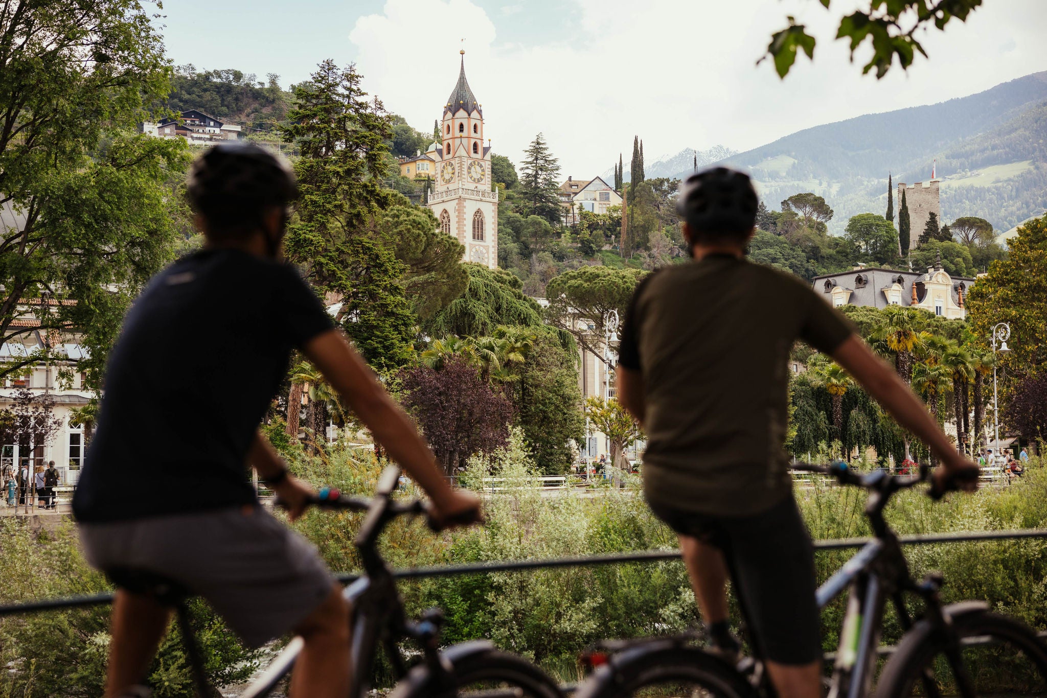
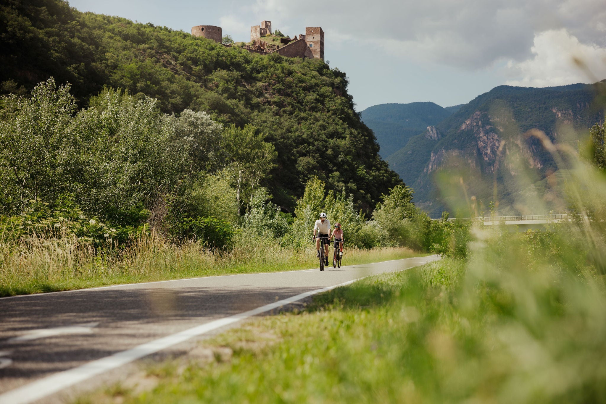
Cycling in South Tyrol

The bike paths of South Tyrol connect villages, valleys and viewpoints, offering routes to suit every level, ideal for cycling at your own pace.

When you choose the leisurely approach, you can discover a whole new world: pedalling along ancient roads, stopping to sample some good wine, or zipping through apple orchards. If you want to rent a bike locally, you can find many hire shops in  South Tyrol , near railway and bus stations and along the cycling routes.  Discover the cycling routes we have selected for you:


If you prefer to move  around more quickly with a bike in tow, South Tyrol is your oyster. By train, bus or cable car, you can choose your own pace by combining  cycling with public transport .

Via Claudia Augusta

The  Via Claudia Augusta, an ancient Roman road named after Emperor Claudius, was built in the 1st century AD as a  commercial and military link between the Mediterranean and the south of present-day Germany. Today, an 800-kilometre cycle path follows the old road. 150 kilometres of this route traverse South Tyrol, with the Reschenpass/Passo Resia as its highest point. Set off to travel back in time, exploring the history of the places you pass while admiring the nature and scenery.

Reschensee – Meran leg

This leg follows the Vinschgau/Val Venosta cycling route, which is 82 kilometres long with an elevation gain of about 1,200 metres. The dirt and tarmac surfaces makes it an easy choice for cycling holidays. It  starts in Reschen/Resia, with its submerged bell tower, traces the Haidersee lake shores, and ends in Meran. This route opens up many cultural destinations, including the seven Romanesque churches of Mals/Malles, the medieval Glurns/Glorenza and the marble village of Laas/Lasa. If you like, you can also stop in Prad am Stilfserjoch/Prato allo Stelvio, which offers access to the Stelvio National Park.

  • Distance: 83 km
  • Elevation gain: mostly downhill (-1,200 m)
IDM Südtirol-Alto Adige/Matt Cherubino

Meran – Bolzano leg

Over 27 km, this route crosses the Etschtal valley, with certain stretches following the course of the Adige river. The  Meran – Bolzano cycle path is a paved section of the Via Claudia Augusta, suitable for families and beginners. Known as the "apple cycle path", it leads through the apple orchards that characterise  South Tyrol's agricultural landscape. Spring and autumn are the best seasons to appreciate the sensory experience of this Adige cycling route, immersed in the scents and colours of trees in bloom or studded with ripe fruit. Towards the end of the route, when the sky is clear, the Dolomite peaks can be seen in the distance. The ride ends in the "Alpine metropolis" of Bolzano, with its many cultural, historical and architectural attractions.

  • Distance: 34 km
  • Elevation gain:  almost flat (100 m)

Bolzano – Salorno leg

Starting in Bolzano, you can either take the Adige cycling path, which runs along the river, or follow the Wine Road through Eppan/Appiano, Kaltern/Caldaro,  St. Josef am See/San Giuseppe al Lago, Tramin/Termeno and Neumarkt/Egna, one of the Most Beautiful Villages of Italy. Both routes are suitable for all levels, gently climbing and descending, allowing you to discover this area at you own pace. This leg can also be cycled as a loop, with a total length of approximately 30 kilometres.

  • Distance: 31 km
  • Elevation gain:  almost flat (100 m)
IDM Südtirol-Alto Adige/Alex Moling

Pustertal Valley cycle path

Crossing the Pustertal Valley is an ideal experience for cyclists of all levels, with a few gentle climbs and many descents, on tarmac and dirt paths.

The first leg is the Innichen – Bruneck/Brunico cycle path, which is about 33 kilometres long. This section is perfect for slow tourism and adventures as a family and with children, with  various rest areas and viewpoints surrounded by meadows  and forests. The route runs along the Olanger/Valdaora reservoir for a stretch, and offers access to Bruneck via tunnels. If you prefer, you can return to Innichen by public transport.

The Pustertal Valley route continues with the second  Bruneck – Franzensfeste/Fortezza leg, which is about 30 kilometres long. Following the course of the river and the railway in places, it passes through small towns and natural landscapes, including the wild Rienz gorge. After a shady stretch through a forest, the end point looms into view: the massive 19th-century military fortress of Franzensfeste.

Cycling accommodation in South Tyrol

Found along and around the cycle routes, our bike-friendly facilities promise you a smooth holiday experience. Thanks to the Bett+Bike and Bett+Bike+Sport certifications from the German Cyclist's Association (ADFC – Allgemeine Deutsche Fahrrad Club), you can rest assured that you and your bike are in safe hands.

You are on a tabbed slider. Select a tab to view its content. Press Enter or Space to enter inside a slider's card. Press Esc to exit.

At the moment, we can't find any results for this search.

Kalterer See bike tour

The Kalterer See lake tour is a paved loop route totalling approximately 8 km, suitable for any level. In some uphill sections, it follows country lanes to vineyards, forming part of the Alto Adige Wine Road. Along the route, you can visit wine cellars and discover their traditions, history and flavours, enjoying a multi-sensory experience on the Alto Adige Wine Road. The Kalterer See lake is the warmest bathing lake in the Alps: the perfect spot for a dip before you get back in the saddle for the return journey.

  • Distance: 7.5 km
  • Elevation gain: flat 

Innichen – Sexten cycle path and the Fischleintal Valley

The 18 km Innichen – Sexten cycle path crosses the Fischleintal Valley. On a dirt path, the elevation gain at a constant gradient is 500 m. The route passes through the meadows and coniferous forests typical of the valley, which is known for its scenic natural beauty. The Fondovalle refuge, towering above the Dolomite rocks, marks the finish. To close the loop, you can return to Sexten and Innichen on the same route.

  • Distance: 18 km
  • Elevation gain: 500 m

Brenner cycle path

51 km long with a paved surface, the Eisacktal cycle path starts at the Brenner Pass at 1370 m. In the leg to Giggelberg/Moncucco, it runs through the former railway tunnels. It reaches the centre of Sterzing/Vipiteno, passing right under the town's landmark tower, where you can enjoy a cultural or culinary stop. Back in the saddle, set off for Brixen/Bressanone to discover its famous cathedral and historic centre. The Brenner – Brixen cycle route ends in Bolzano, which can be explored via the city's numerous cycle paths.

  • Distance: 51 km
  • Elevation gain:  almost entirely downhill (-1,000 m)
Accommodation image
Finish your booking for
Accommodation name
0  room rooms Not selected No board Breakfast Half board Full board All inclusive
Total price: 0 €
(incl. VAT / excl. local tourism tax)