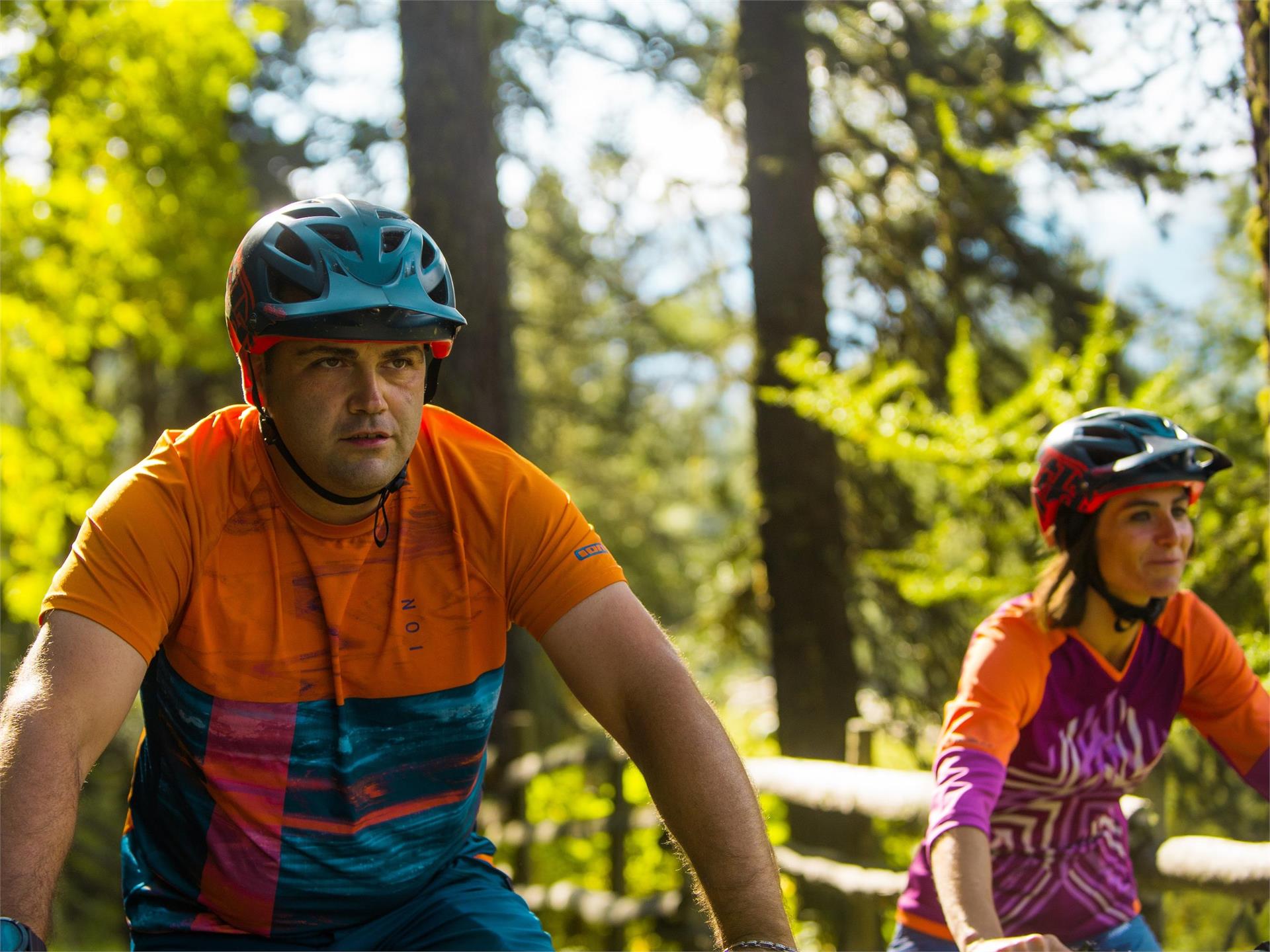
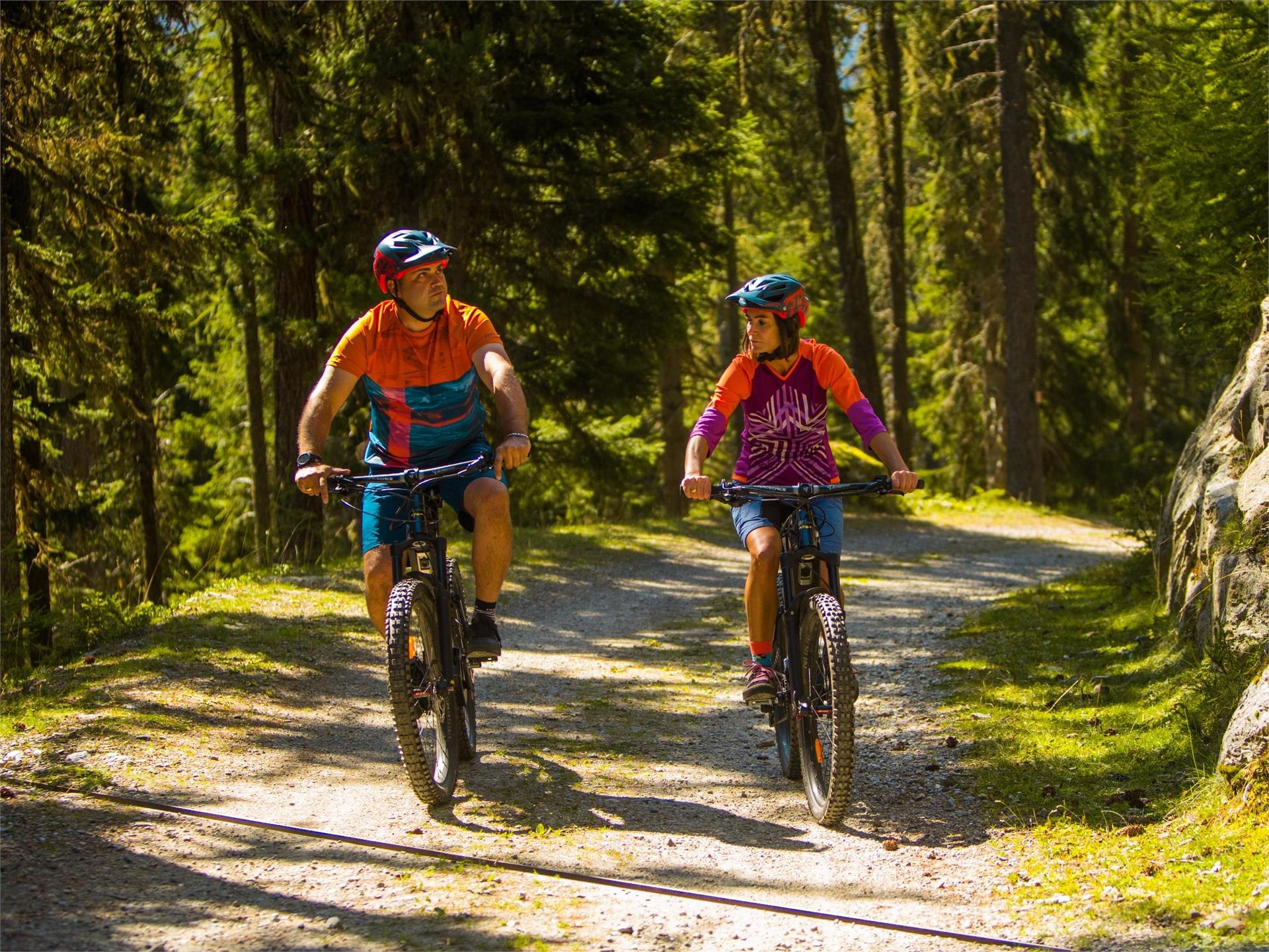
Ga meteen naar de inhoud
toegevoegd aan favorieten
verwijderd uit favorieten
Helaas is er een probleem opgetreden. Probeer het opnieuw.
Uw account wordt aangemaakt
Je account is succesvol aangemaakt en je bent nu ingelogd
U bent uitgelogd
Filteren
Geselecteerde filters
    Moeilijkheidsgraad
    Duur
    Afstand in km

    Fietsen

    Ga op spannende fietstochten in Zuid-Tirol, waarbij je door betoverende wijngaarden, schilderachtige valleien en majestueuze bergen fietst. Ontdek adembenemende landschappen, bedwing uitdagende trails en geniet van de rijke cultuur en gastronomie van de regio. Een onvergetelijk avontuur voor elke fietsliefhebber!
    Resultaten
    Cycling
    Cycle path München-Venezia
    Niederdorf/Villabassa, Dolomites Region 3 Zinnen

    Enjoy cycling and cross the Alps to the Adriatic sea

    The new long-distance cycle path Munich-Venice closes the gap between the alpine crossings of the Eastern Alps and connects the southernmost German metropolis with the pearl of the lagoon on the Adriatic.In the middle of this itinerary there are spectacular landscapes for all those who want to enjoy the challenge on two wheels. This 560 kilometer link gives the right weight to the most ecological and important means of transport in the world: the bicycle.

    This multiple day tour leads through 3 countries, 3 cultures, including natural oases and cultural highlights. There are very good bus and train connections and numerous bike-friendly accommodations along the route. In South Tyrol, right behind the Brenner Pass, you can enjoy the alpine-mediterranean lifestyle and the southern ambience of the cities of South Tyrol. Let yourself be enchanted by the majestic beauty of the world-famous Three Peaks in the UNESCO World Heritage - Dolomites. Take advantage of the numerous opportunities to discover South Tyrol on a trekking bike. Well-developed cycle routes not only connect the cities of South Tyrol, but also lead you into the quiet side valleys surrounded by the Alps and the imposing Dolomites.


    Moeilijkheidsgraad: gemakkelijk
    1656 Hoogtemeters
    132.1 Km Route
    Cycling
    Marteller Talrunde (Val Martello)
    Martell/Martello, Vinschgau/Val Venosta

    Little exploration tour along Martello’s Strawberry Trail and the valley floor:
    Start at Val Martello’s pivot, the Trattla sports and leisure center with the culturamartell visitor center and the South Tyrolean Strawberry World for an e-bike tour on the traces of Europe’s highest strawberry cultivation area with its tasty berries. You can explore part of the South Tyrol Strawberry Trail with its information points by (e-)bike.

    Moeilijkheidsgraad: gemakkelijk
    123 Hoogtemeters
    4.9 Km Route
    Cycling
    Biketour through the apple orchards of the Adige Valley
    Andrian/Andriano, The South Tyrolean Wine Road
    The cycle route of about 30 km leads over long stretches between villages and apple orchards of the Adige Valley. A sea of flowers meets the cyclists in the first half of April. The tour starts in Andrian and touches the villages of Nalles and Lana along the Via Claudia Augusta. Here it crosses the Adige River to join the Adige Cycle Path and return to Andrian.
    Moeilijkheidsgraad: gemakkelijk
    96 Hoogtemeters
    29.5 Km Route
    Cycling
    Waldberg-Wiesboden Tour
    Martell/Martello, Vinschgau/Val Venosta

    If you want to enjoy great views and inform yourself about Europe’s highest granaries, then this is the right tour for you. Start at the Trattla sports and leisure center with the culturamartell visitor center and the South Tyrolean Strawberry World. During this tour, you pass different climate zones at Val Martello‘ Sun Mountain: from the strawberry fields along Martello’s valley path (no. 36) through the village of Martello and up to Europe’s highest mountain farms Premstl, Niederhof or Stallwies built on steep, irrigated slopes. Beautiful mountain farms with wooden shingle roofs accompany you on your way to Stallwies while crossing the partially extremely steep meadows of Martello’s Selva on the road. Just after Premstl at Niederhof, you can enjoy the impressive view of the Cevedale glacier and Martello’s high mountain world. After another three kilometers you reach the Stallwies inn where you turn right at the mill and continue on a beautiful forest road through Swiss pine forests until you reach the Wiesboden viewpoint and picnic area. If you want, you can explore the wooden irrigation channel path or the Mountain Farmer Trail by taking the path up or down.

    Moeilijkheidsgraad: gemakkelijk
    911 Hoogtemeters
    13.5 Km Route
    Cycling
    MTB-Tour 3 Zinnen Dolomites at a glance (013)
    Sexten/Sesto, Dolomites Region 3 Zinnen

    This tour can be started and finished in all villages of the holiday region 3 Zinnen Dolomites. This description starts in Sexten. The tour starts at the Bike Academy Infopoint directly at the Helmbahn valley station. Follow the cycle path along the Sextner Bach stream to Innichen. Cycle through the village, the ascent up to the Innichberg starts on the opposite side of the valley. From there it's on to the Lachwiesen hut and down to the Silvesterplatz. The view of the Dolomites invites you to take a break on the sunny side of Toblach. Later the Silvester Valley leads towards the valley, past the Enzianhütte hut and on to Frondeigen. The Eggerberg mountain connects Toblach and Niederdorf. Continue, then, with little effort, along the asphalt road to Niederdorf and on the cycle path to Innichen and back to Sexten.

    Moeilijkheidsgraad: gemakkelijk
    1564 Hoogtemeters
    64.6 Km Route
    Cycling
    Cycle path Niederdorf/Villabassa - Cortina d´Ampezzo
    Badia, Dolomites Region 3 Zinnen
    From Niederdorf/Villabassa take the bike path in the direction of Lienz along the railroad to Toblach/Dobbiaco. To the right in the direction of Cortina (signposted), the cycling route from Toblach/Dobbiaco leads along the disused railroad line. The route leads in a southerly direction always slightly uphill past Toblach/Dobbiaco Lake, the war cemetery, 3 Zinnen Blick and Dürrensee lake, with Monte Cristallo to the highest point, the Gemärk Pass. This is at 1,530 m above sea level, from which begins the descent to Cortina, with a view of the famous Tofane. Descending, the bike path goes through a tunnel and the subsequent high bridge with a view of Cortina. From Cortina back to Toblach/Dobbiaco, in the summer season, buses with bike trailers run the Cortina Express bus company (advance reservation required).
    Moeilijkheidsgraad: gemiddeld
    500 Hoogtemeters
    36.1 Km Route
    Cycling
    Pustertal Valley Cycle Route: Leg Innichen/San Candido - Toblach/Dobbiaco - Bruneck/Brunico
    Toblach/Dobbiaco, Dolomites Region 3 Zinnen
    The cycle path from Toblach/Dobbiaco to Bruneck/Brunico is particularly suitable for beginners and families with children. With hardly any inclines, rest areas and playgrounds along the way, this day trip is particularly popular with little cyclists.
    You can go home comfortably on the new trains, which can also take back your bicycles. Alternatively, the bikes can be borrowed in Toblach and returned in Bruneck.
    Moeilijkheidsgraad: gemiddeld
    309 Hoogtemeters
    31.3 Km Route
    Cycling
    Bike route - Sand in Taufers/Campo Tures - St. Peter/S. Pietro
    Sand in Taufers/Campo Tures, Ahrntal/Valle Aurina
    This bike tour is an experience for athletes and hobby cyclists and can of course also be enjoyed in sections. The adventure route can be started either at the valley entrance or in St. Peter/San Pietro. It is recommended that inexperienced "cyclists" plan the tour out of the valley.
    Moeilijkheidsgraad: gemiddeld
    551 Hoogtemeters
    19.9 Km Route
    Cycling
    Bike route Valli di Tures e Aurina-Tauferer Ahrntal
    Sand in Taufers/Campo Tures, Ahrntal/Valle Aurina

    The “Ahrtour” bike route runs through the entire Tauferer Ahrntal valley and promises an adventurous trip through nature itself. From the start in Bruneck/Brunico until Sand in Taufers/Campo Tures, the Ahrtour is a fairly flat and easy ride. This bike tour is an adventure for athletes and amateur bikers alike and of course it can also be enjoyed in individual sections. 

    Moeilijkheidsgraad: gemakkelijk
    92 Hoogtemeters
    18.0 Km Route
    1 2 3 4 5 6 7 8 9