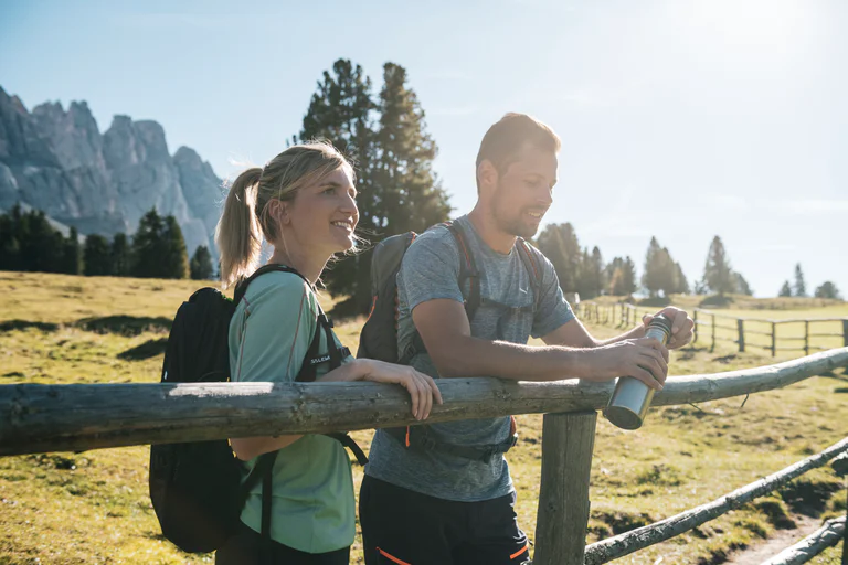

From Maiern to the Staudenbergalm mountain hut
Ridanna/Ridnaun, Ratschings/Racines, Sterzing/Vipiteno and environs
medium
Moeilijkheidsgraad
681 m
Hoogteverschil
4h:04 min
Duur

Ridanna/Ridnaun, Ratschings/Racines, Sterzing/Vipiteno and environs
medium
Moeilijkheidsgraad
681 m
Hoogteverschil
4h:04 min
Duur
1/2
Obereggen/Obereggen, Deutschnofen/Nova Ponente, Alto Adige Wine Road
medium
Moeilijkheidsgraad
454 m
Hoogteverschil
3h:23 min
Duur
1/5
Prissiano/Prissian, Tisens/Tesimo, Meran/Merano and environs
medium
Moeilijkheidsgraad
608 m
Hoogteverschil
3h:31 min
Duur
1/3
Schenna/Scena, Meran/Merano and environs
medium
Moeilijkheidsgraad
940 m
Hoogteverschil
36.4 Km
Route
Pfelders/Plan, Moos in Passeier/Moso in Passiria, Meran/Merano and environs
0 m
Hoogteverschil
0h:00 min
Duur
Villabassa/Niederdorf, Niederdorf/Villabassa, Dolomites Region 3 Zinnen
easy
Moeilijkheidsgraad
36 m
Hoogteverschil
2h:08 min
Duur
1/3
Rablà/Rabland, Algund/Lagundo, Meran/Merano and environs
easy
Moeilijkheidsgraad
156 m
Hoogteverschil
16.4 Km
Route
Außermühlwald/Selva di Fuori, Mühlwald/Selva dei Molini, Ahrntal/Valle Aurina
easy
Moeilijkheidsgraad
335 m
Hoogteverschil
1h:30 min
Duur
Fleres/Pflersch, Brenner/Brennero, Sterzing/Vipiteno and environs
medium
Moeilijkheidsgraad
898 m
Hoogteverschil
3h:28 min
Duur
1/4
Lagundo/Algund, Algund/Lagundo, Meran/Merano and environs
medium
Moeilijkheidsgraad
1227 m
Hoogteverschil
13.4 Km
Route
1/5
Selva/Sëlva/Wolkenstein/Sëlva, Sëlva/Selva di Val Gardena, Dolomites Region Val Gardena
difficult
Moeilijkheidsgraad
751 m
Hoogteverschil
4h:52 min
Duur
1/3
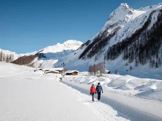
Scena/Schenna, Schenna/Scena, Meran/Merano and environs
easy
Moeilijkheidsgraad
369 m
Hoogteverschil
19.5 Km
Route
1/2
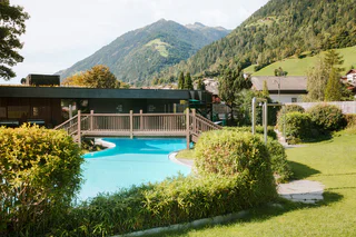
Casere/Kasern, Prettau/Predoi, Ahrntal/Valle Aurina
easy
Moeilijkheidsgraad
98 m
Hoogteverschil
1h:15 min
Duur
1/7
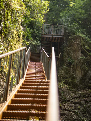
San Martino i.P./St. Martin i.P., St.Martin in Passeier/San Martino in Passiria, Meran/Merano and environs
1/3
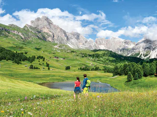
Altenburg/Castelvecchio, Kaltern an der Weinstraße/Caldaro sulla Strada del Vino, Alto Adige Wine Road
medium
Moeilijkheidsgraad
67 m
Hoogteverschil
0h:43 min
Duur
1/11
S.Cristina Gherdëina/S.Cristina Val Gardena/S.Cristina Gherdëina/St.Christina in Gröden, S.Crestina Gherdëina/Santa Cristina Val Gardana, Dolomites Region Val Gardena
easy
Moeilijkheidsgraad
350 m
Hoogteverschil
2h:40 min
Duur
Colle/Pichl, Gsies/Valle di Casies
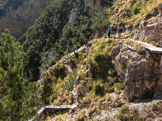
1/4
Völs/Fiè, Völs am Schlern/Fiè allo Sciliar, Dolomites Region Seiser Alm
difficult
Moeilijkheidsgraad
953 m
Hoogteverschil
3h:43 min
Duur
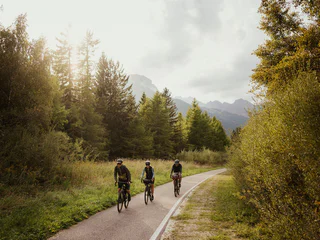
1/3
Brenner/Brennero, Sterzing/Vipiteno and environs
medium
Moeilijkheidsgraad
118 m
Hoogteverschil
50.9 Km
Route
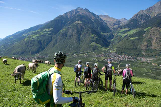
1/2
Rablà/Rabland, Partschins/Parcines, Meran/Merano and environs
easy
Moeilijkheidsgraad
126 m
Hoogteverschil
13.5 Km
Route
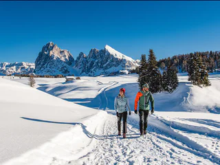
1/2
Alpe di Siusi/Seiseralm, Kastelruth/Castelrotto, Dolomites Region Seiser Alm
easy
Moeilijkheidsgraad
160 m
Hoogteverschil
2h:13 min
Duur
Resia/Reschen
medium
Moeilijkheidsgraad
716 m
Hoogteverschil
5.5 Km
Route
1/3
Campo Tures/Sand in Taufers, Sand in Taufers/Campo Tures, Ahrntal/Valle Aurina
easy
Moeilijkheidsgraad
10 m
Hoogteverschil
0h:30 min
Duur
1/3
Schenna/Scena, Meran/Merano and environs
easy
Moeilijkheidsgraad
590 m
Hoogteverschil
19.8 Km
Route
Sesto/Sexten, Innichen/San Candido, Dolomites Region 3 Zinnen
medium
Moeilijkheidsgraad
384 m
Hoogteverschil
3h:00 min
Duur
Cortaccia s.S.d.V./Kurtatsch, Kurtatsch an der Weinstraße/Cortaccia sulla Strada del Vino, Alto Adige Wine Road
easy
Moeilijkheidsgraad
545 m
Hoogteverschil
46.6 Km
Route
Vallesina/Versein, Mölten/Meltina, Bolzano/Bozen and environs
easy
Moeilijkheidsgraad
405 m
Hoogteverschil
1h:42 min
Duur
1/2
Sorgente/Quellenhof, Riffian/Rifiano, Meran/Merano and environs
medium
Moeilijkheidsgraad
1000 m
Hoogteverschil
5h:00 min
Duur
Sill/Sill, Ritten/Renon, Bolzano/Bozen and environs
easy
Moeilijkheidsgraad
100 m
Hoogteverschil
0h:49 min
Duur
Trafoi/Trafoi, Stilfs/Stelvio, Vinschgau/Val Venosta
medium
Moeilijkheidsgraad
868 m
Hoogteverschil
3h:22 min
Duur
Bedankt voor je inschrijving!
Inschrijving al actief
Bevestig je inschrijving
Om je inschrijving te voltooien, open de e-mail die we je net hebben gestuurd en klik op de bevestigingslink.
Niet gevonden? Kijk ook even in je spammap.
We hebben gezien dat je je probeerde aan te melden voor de nieuwsbrief, maar je e-mailadres is al geregistreerd. Je blijft onze aanbiedingen, tips en inspiratie voor je vakantie ontvangen.
Je hebt je al geprobeerd in te schrijven voor onze nieuwsbrief maar deze nog niet bevestigd. We hebben je de e‑mail zojuist opnieuw gestuurd. Controleer je inbox en je spammap en bevestig nu.