
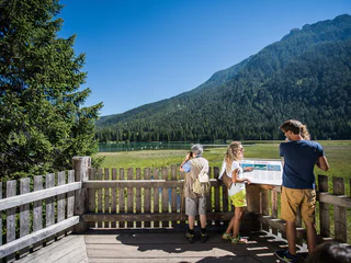
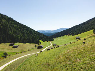
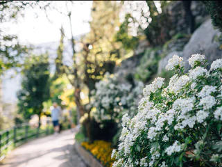
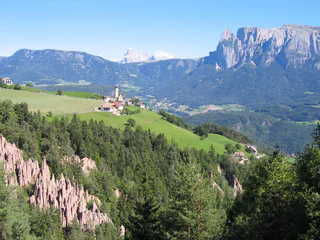
On the "Unterer Wiesenweg" from Prissiano to Tesimo
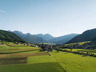
Prissiano/Prissian, Tisens/Tesimo, Meran/Merano and environs
easy
Moeilijkheidsgraad
38 m
Hoogteverschil
0h:25 min
Duur
Beleef Zuid-Tirol samen met je hond. Deze paden en uitstapjes bieden jou en je viervoeter onvergetelijke ervaringen in de adembenemende natuur van Zuid-Tirol.
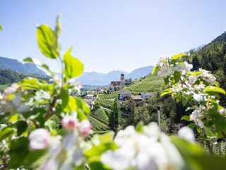
Prissiano/Prissian, Tisens/Tesimo, Meran/Merano and environs
easy
Moeilijkheidsgraad
38 m
Hoogteverschil
0h:25 min
Duur
1/2
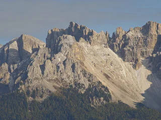
Gandelle-Franadega-Fienili/Kandellen-Frondeigen-Stadlern, Toblach/Dobbiaco, Dolomites Region 3 Zinnen
easy
Moeilijkheidsgraad
61 m
Hoogteverschil
2h:30 min
Duur
1/11
Parcines/Partschins, Partschins/Parcines, Meran/Merano and environs
easy
Moeilijkheidsgraad
118 m
Hoogteverschil
0h:58 min
Duur
Merano/Meran, Meran/Merano, Meran/Merano and environs
easy
Moeilijkheidsgraad
109 m
Hoogteverschil
0h:55 min
Duur
1/2
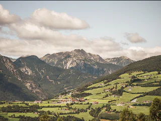
Prissiano/Prissian, Tisens/Tesimo, Meran/Merano and environs
easy
Moeilijkheidsgraad
59 m
Hoogteverschil
0h:43 min
Duur
1/2
Prissiano/Prissian, Tisens/Tesimo, Meran/Merano and environs
medium
Moeilijkheidsgraad
377 m
Hoogteverschil
2h:22 min
Duur
1/3
Maranza/Meransen, Mühlbach/Rio di Pusteria, Brixen/Bressanone and environs
easy
Moeilijkheidsgraad
253 m
Hoogteverschil
1h:40 min
Duur
Fleres/Pflersch, Brenner/Brennero, Sterzing/Vipiteno and environs
easy
Moeilijkheidsgraad
93 m
Hoogteverschil
0h:21 min
Duur
1/5
S. Giacomo/St. Jakob - Val di Vizze/Pfitsch, Pfitsch/Val di Vizze, Sterzing/Vipiteno and environs
easy
Moeilijkheidsgraad
38 m
Hoogteverschil
0h:25 min
Duur
1/2
Gandelle-Franadega-Fienili/Kandellen-Frondeigen-Stadlern, Toblach/Dobbiaco, Dolomites Region 3 Zinnen
easy
Moeilijkheidsgraad
220 m
Hoogteverschil
3h:00 min
Duur
1/2
Nova Levante/Welschnofen, Welschnofen/Nova Levante, Dolomites Region Eggental
easy
Moeilijkheidsgraad
0 m
Hoogteverschil
0h:27 min
Duur
Kematen/Caminata di Tures, Sand in Taufers/Campo Tures, Ahrntal/Valle Aurina
easy
Moeilijkheidsgraad
162 m
Hoogteverschil
1h:00 min
Duur
1/2
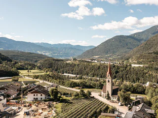
Tirolo/Tirol, Tirol/Tirolo, Meran/Merano and environs
easy
Moeilijkheidsgraad
232 m
Hoogteverschil
2h:06 min
Duur
1/3
Merano/Meran, Meran/Merano, Meran/Merano and environs
easy
Moeilijkheidsgraad
17 m
Hoogteverschil
0h:10 min
Duur
Mühlen in Taufers/Molini di Tures, Sand in Taufers/Campo Tures, Ahrntal/Valle Aurina
easy
Moeilijkheidsgraad
197 m
Hoogteverschil
1h:00 min
Duur
1/6
Montefontana/Tomberg, Kastelbell-Tschars/Castelbello-Ciardes, Vinschgau/Val Venosta
easy
Moeilijkheidsgraad
132 m
Hoogteverschil
0h:30 min
Duur
1/8
Montesole/Sonnenberg - Parcines/Partschins, Partschins/Parcines, Meran/Merano and environs
easy
Moeilijkheidsgraad
155 m
Hoogteverschil
2h:04 min
Duur
Bressanone città/Brixen Stadt, Brixen/Bressanone, Brixen/Bressanone and environs
easy
Moeilijkheidsgraad
41 m
Hoogteverschil
1h:49 min
Duur

1/3
Rasa/Raas, Natz-Schabs/Naz-Sciaves, Brixen/Bressanone and environs
easy
Moeilijkheidsgraad
40 m
Hoogteverschil
0h:40 min
Duur
Mühlwald/Selva die Molini, Mühlwald/Selva dei Molini, Ahrntal/Valle Aurina
easy
Moeilijkheidsgraad
3 m
Hoogteverschil
0h:30 min
Duur
Nova Ponente Centro/Deutschnofen Dorf, Deutschnofen/Nova Ponente, Dolomites Region Eggental
easy
Moeilijkheidsgraad
514 m
Hoogteverschil
4h:02 min
Duur
1/3
Nova Ponente Centro/Deutschnofen Dorf, Deutschnofen/Nova Ponente, Dolomites Region Eggental
easy
Moeilijkheidsgraad
99 m
Hoogteverschil
2h:30 min
Duur
Braies di Fuori/Ausserprags, Prags/Braies, Dolomites Region 3 Zinnen
easy
Moeilijkheidsgraad
118 m
Hoogteverschil
1h:00 min
Duur
1/4
Nove Case/Neunhäusern, Rasen-Antholz/Rasun Anterselva, Dolomites Region Kronplatz/Plan de Corones
easy
Moeilijkheidsgraad
20 m
Hoogteverschil
1h:03 min
Duur
1/2
Aica/Aicha, Natz-Schabs/Naz-Sciaves, Brixen/Bressanone and environs
easy
Moeilijkheidsgraad
89 m
Hoogteverschil
0h:45 min
Duur
1/6
Rablà/Rabland, Partschins/Parcines, Meran/Merano and environs
easy
Moeilijkheidsgraad
40 m
Hoogteverschil
1h:00 min
Duur
Selva/Sëlva/Wolkenstein/Sëlva, Sëlva/Selva di Val Gardena, Dolomites Region Val Gardena
easy
Moeilijkheidsgraad
21 m
Hoogteverschil
0h:31 min
Duur
1/4
Collalbo/Klobenstein, Ritten/Renon, Bolzano/Bozen and environs
easy
Moeilijkheidsgraad
0 m
Hoogteverschil
1h:19 min
Duur
1/6
Magdfeld/Magdfeld, Riffian/Rifiano, Meran/Merano and environs
easy
Moeilijkheidsgraad
69 m
Hoogteverschil
1h:15 min
Duur
1/3
Valles/Vals, Mühlbach/Rio di Pusteria, Brixen/Bressanone and environs
medium
Moeilijkheidsgraad
519 m
Hoogteverschil
2h:30 min
Duur
Bedankt voor je inschrijving!
Inschrijving al actief
Bevestig je inschrijving
Om je inschrijving te voltooien, open de e-mail die we je net hebben gestuurd en klik op de bevestigingslink.
Niet gevonden? Kijk ook even in je spammap.
We hebben gezien dat je je probeerde aan te melden voor de nieuwsbrief, maar je e-mailadres is al geregistreerd. Je blijft onze aanbiedingen, tips en inspiratie voor je vakantie ontvangen.
Je hebt je al geprobeerd in te schrijven voor onze nieuwsbrief maar deze nog niet bevestigd. We hebben je de e‑mail zojuist opnieuw gestuurd. Controleer je inbox en je spammap en bevestig nu.


