

Summer
Kuens/Caines, Meran/Merano and environs
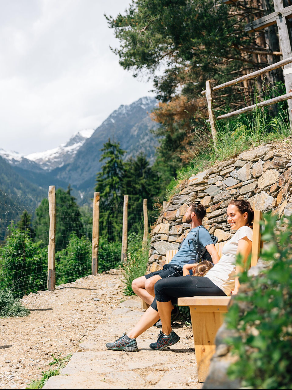
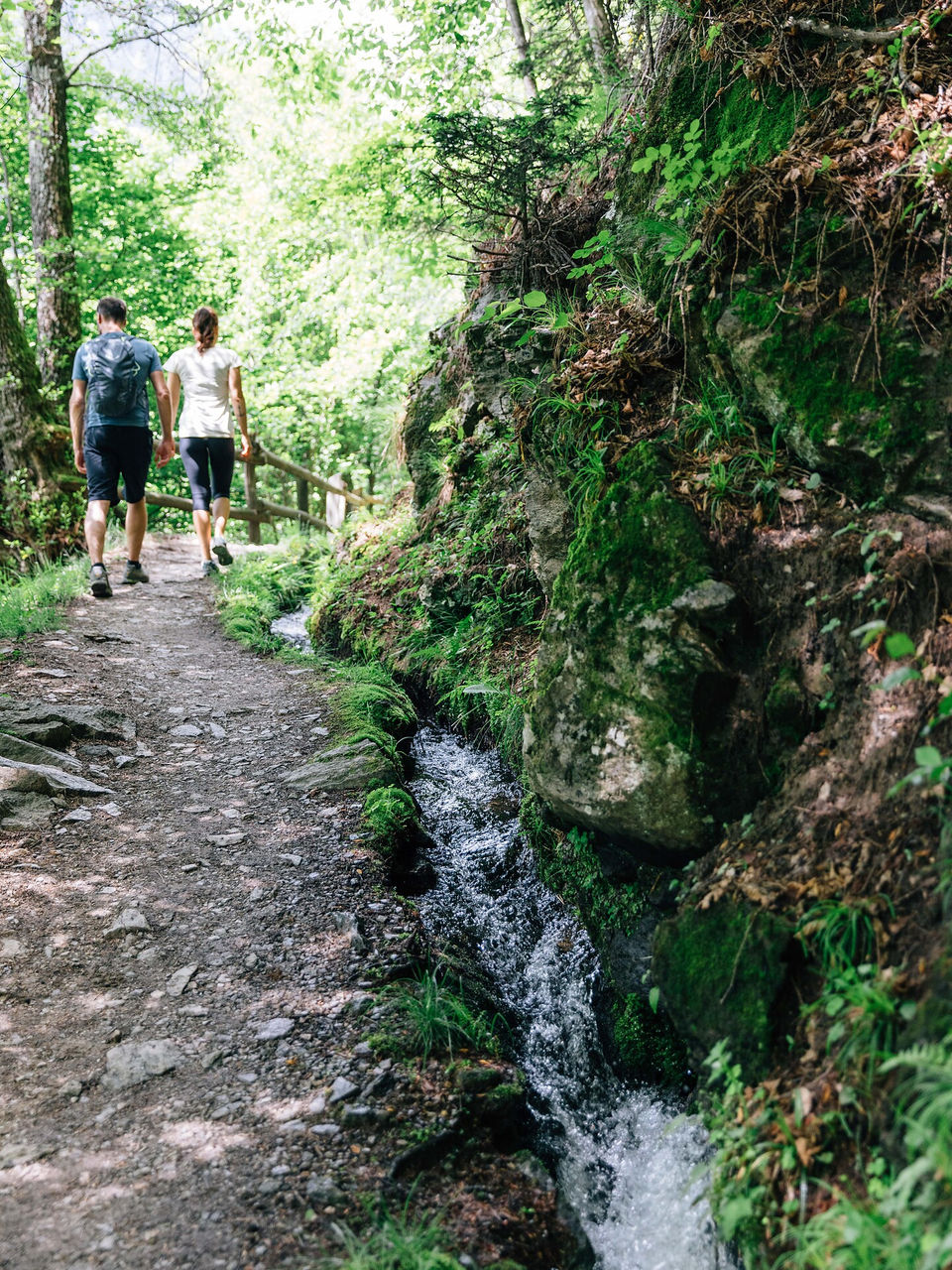
Waalwege are paths along the ancient irrigation channels. From the Ungericht Hof farm (Neolithic engraved stone), follow the road for approx. 10 minutes up to the Mutlechnerhof farm (837m) from where the markers lead in a further 15 minutes to the 600-year-old Caines canal along a more or less flat trail. Follow this to its origin, the irrigation canal frame at the Finelebach stream (1,020m). This will take about 90 minutes. On the other side of the bridge, hike to the right of the canal some 100 m down into the valley, then turn sharply to the left onto the lower canal trail that takes you through shady woods back to the Ungericht Hof.
The path is not suitable for pushchairs.


