Hiking
Taufers im Münstertal/Tubre, Vinschgau/Val Venosta
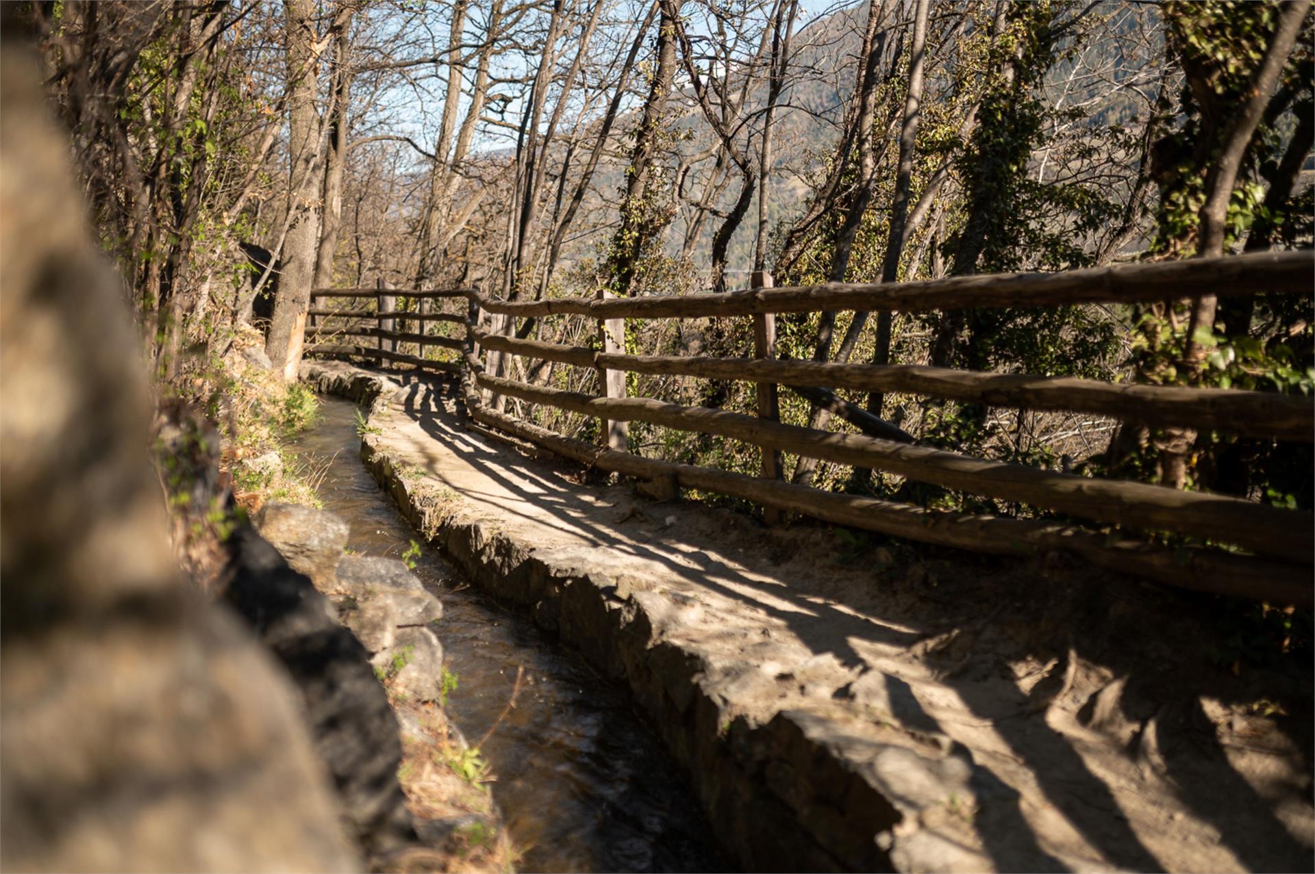
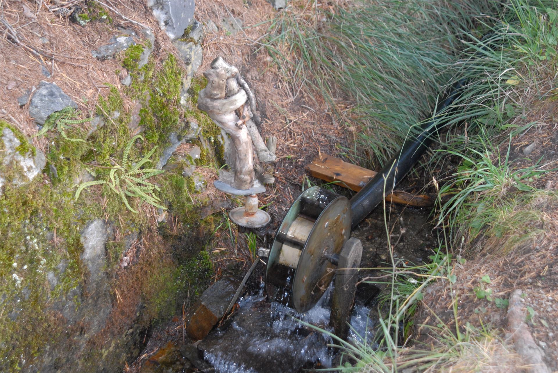
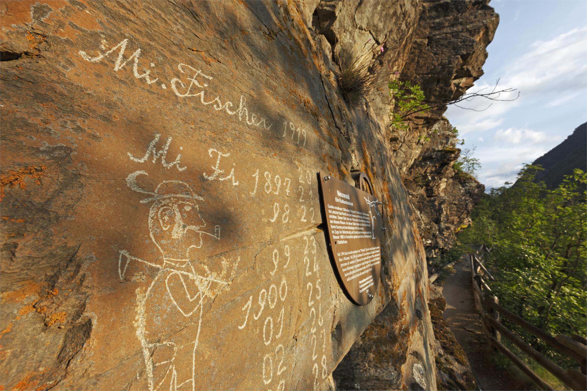
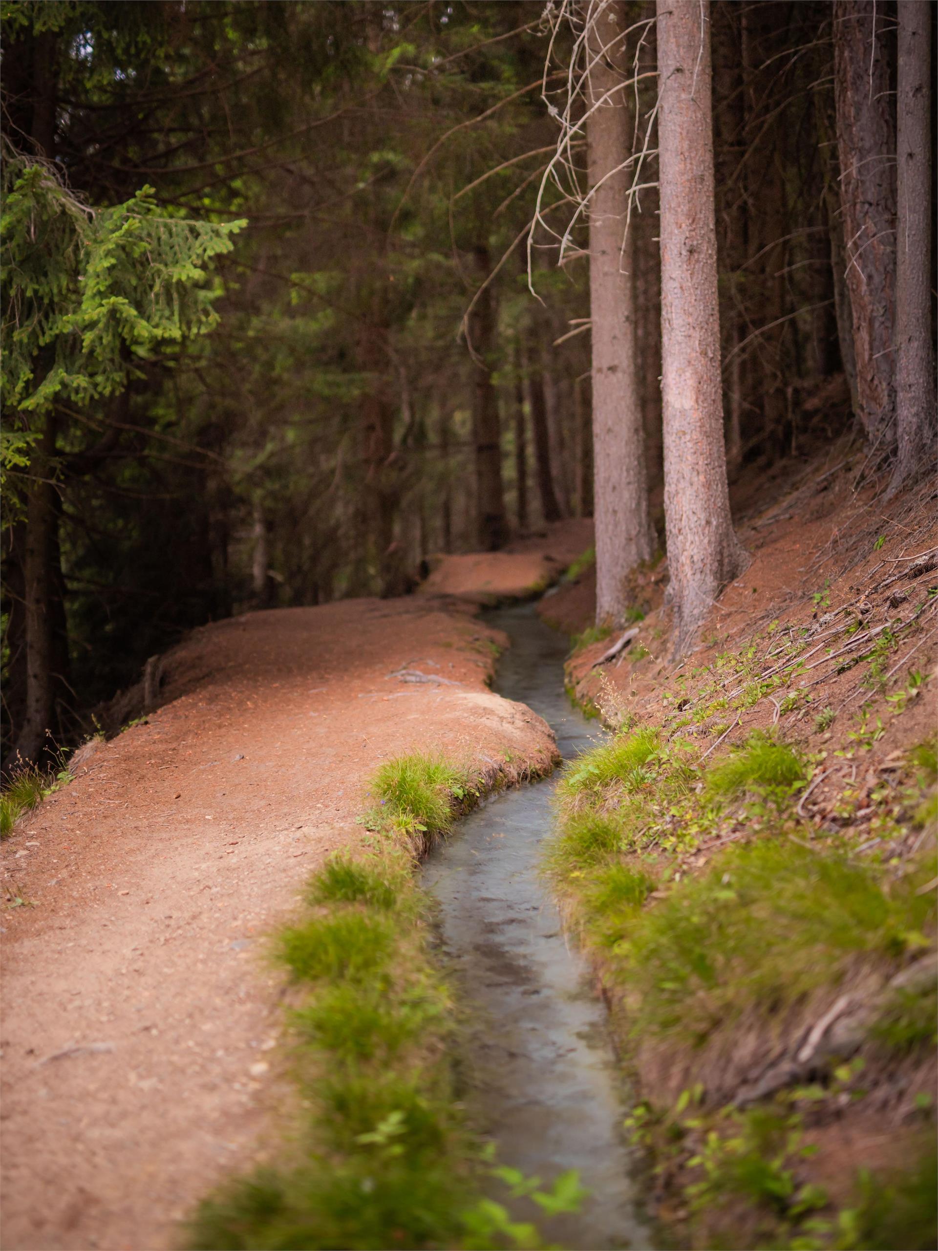
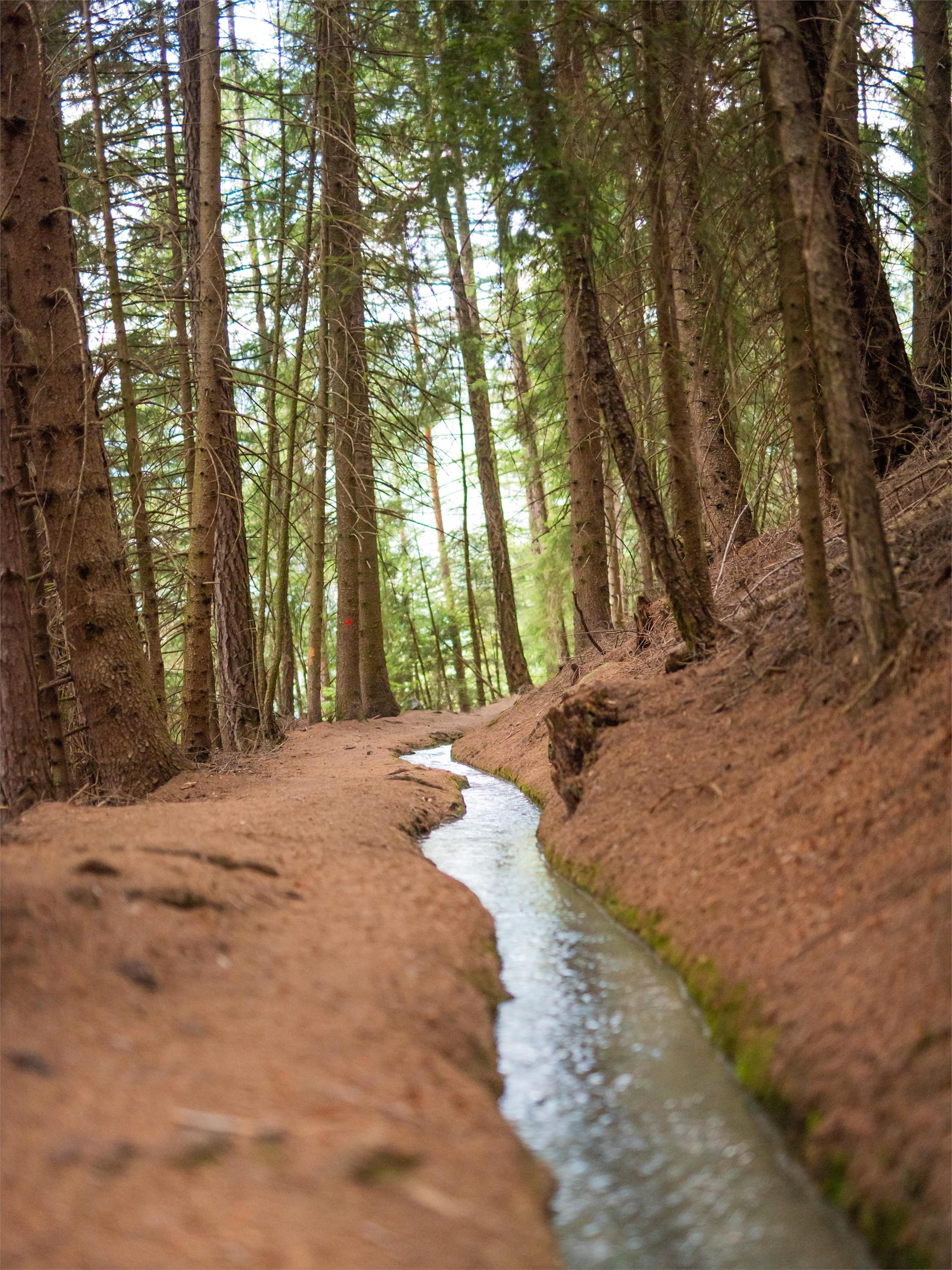
Hike on a sunny slope along the Turnaunawaal irrigation channel path
Water supply: from May
Refreshments: in the restaurants in Taufers im Münstertal/ Tubre in Val Monastero