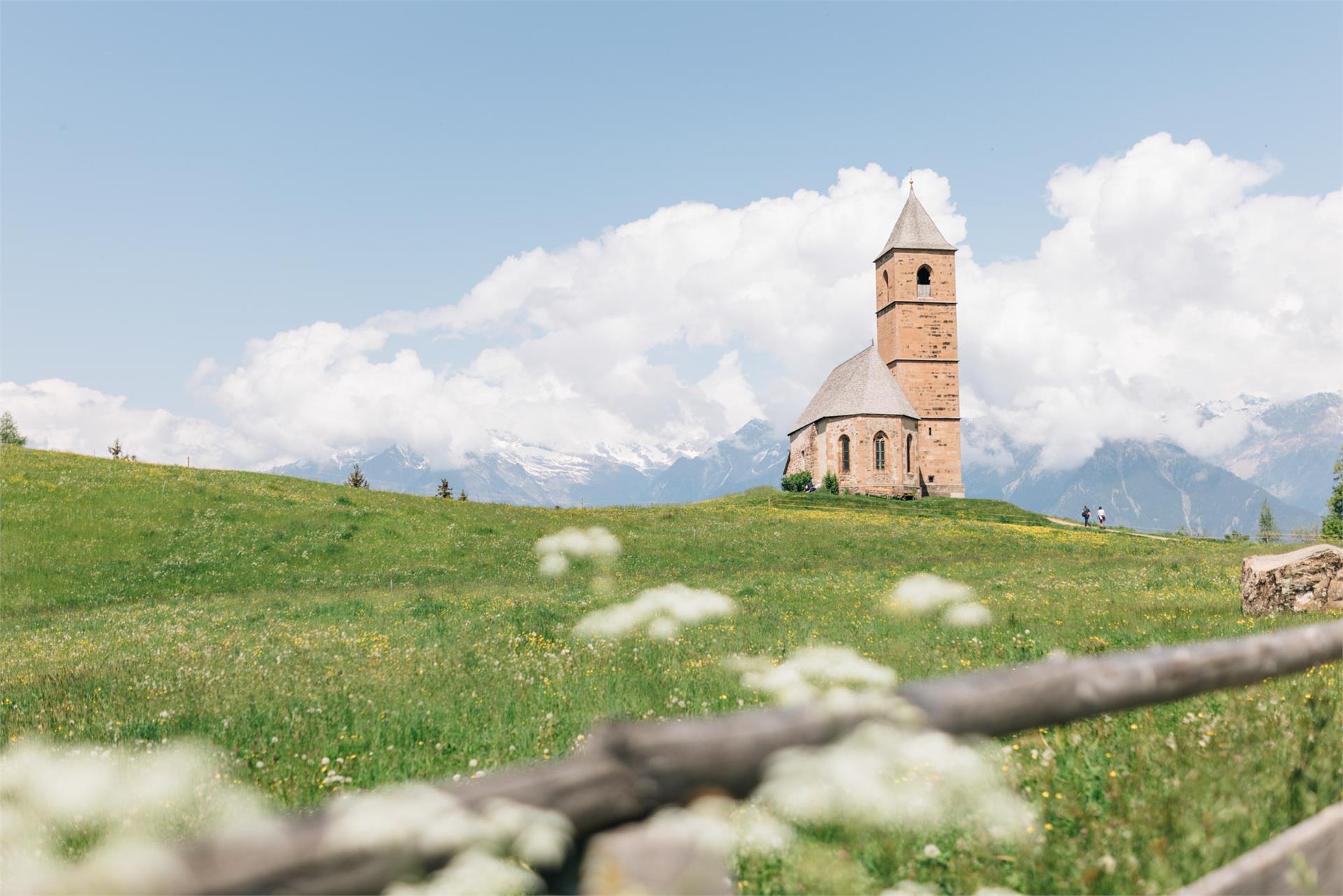
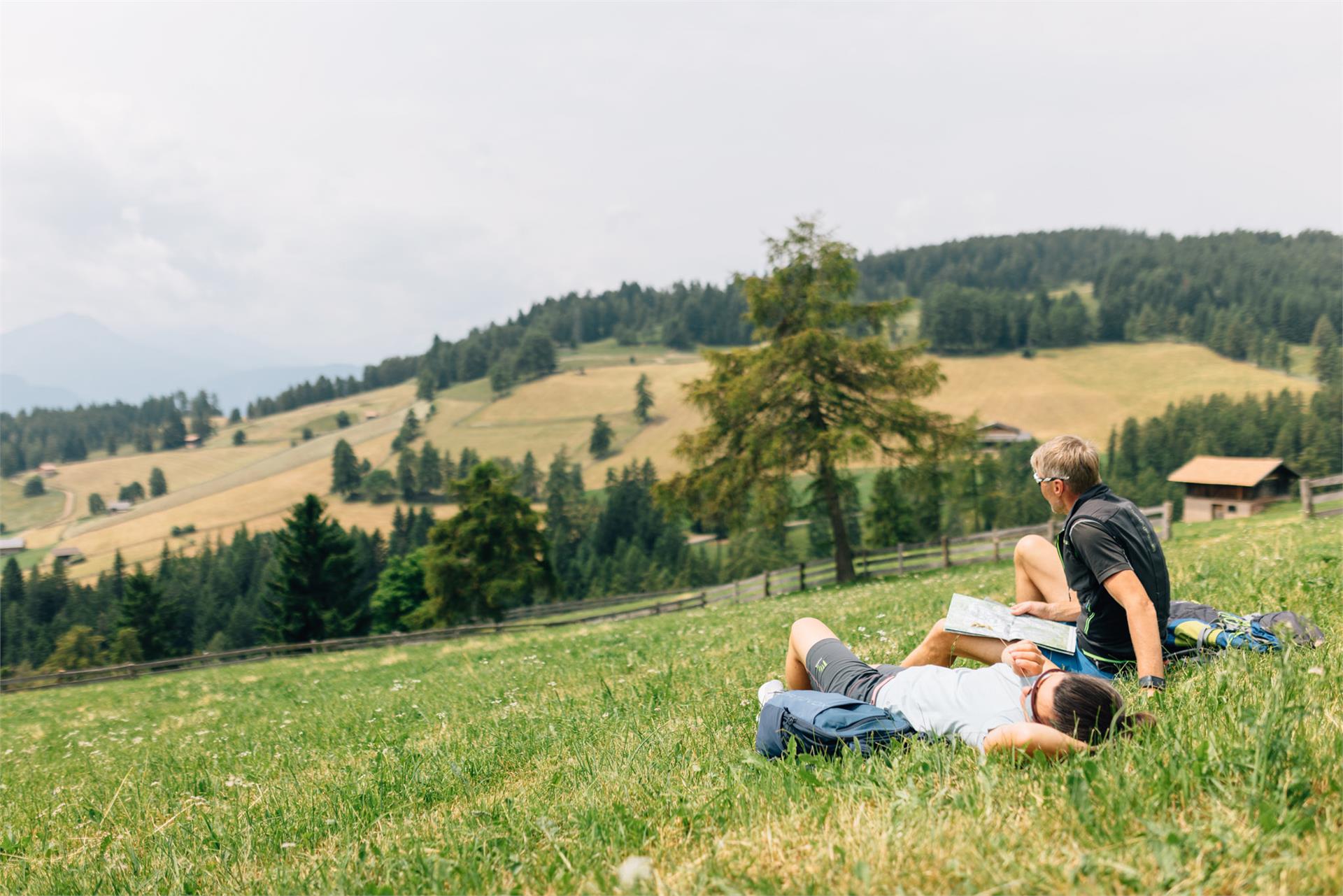
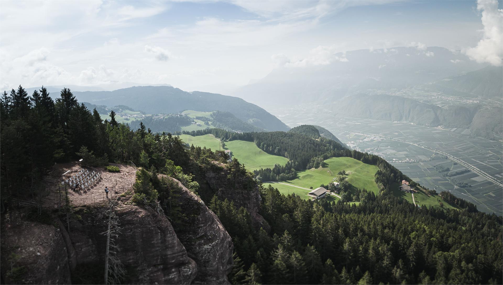
Skip to content
added to favourites
removed from favourites
Oops! Something went wrong. Try again
Your account is being created
Your account has been successfully created and you are now logged in
You are logged out.
Filter
Selected filters
    Level of difficulty
    Duration
    Distance in KM

    Winter hiking in South Tyrol

    During winter hikes on groomed trails, you will get to know South Tyrol's quiet side. Discover enchanting viewing points in the Dolomite mountains, snow-covered forests in quiet side valleys in the Kronplatz region and enjoy nature by yourself in complete silence. On snow shoes, you travel away from the ski slopes and lifts into untouched forests. This is how snowshoe hiking and winter hiking becomes a true experience.
    Results
    Hiking
    To Zuegg Hütte mountain hut on Meran 2000
    Hafling/Avelengo, Meran/Merano and environs

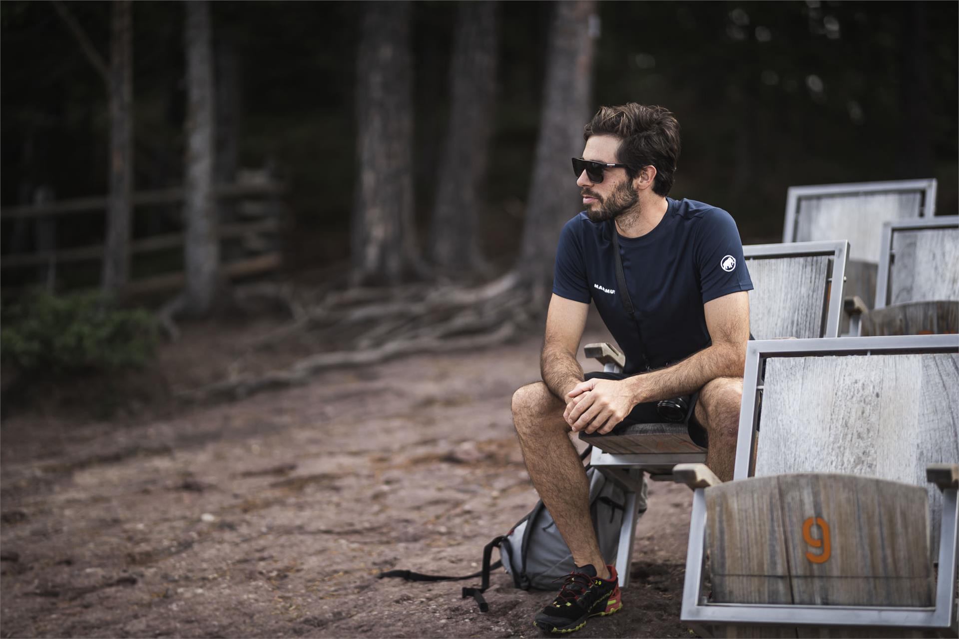
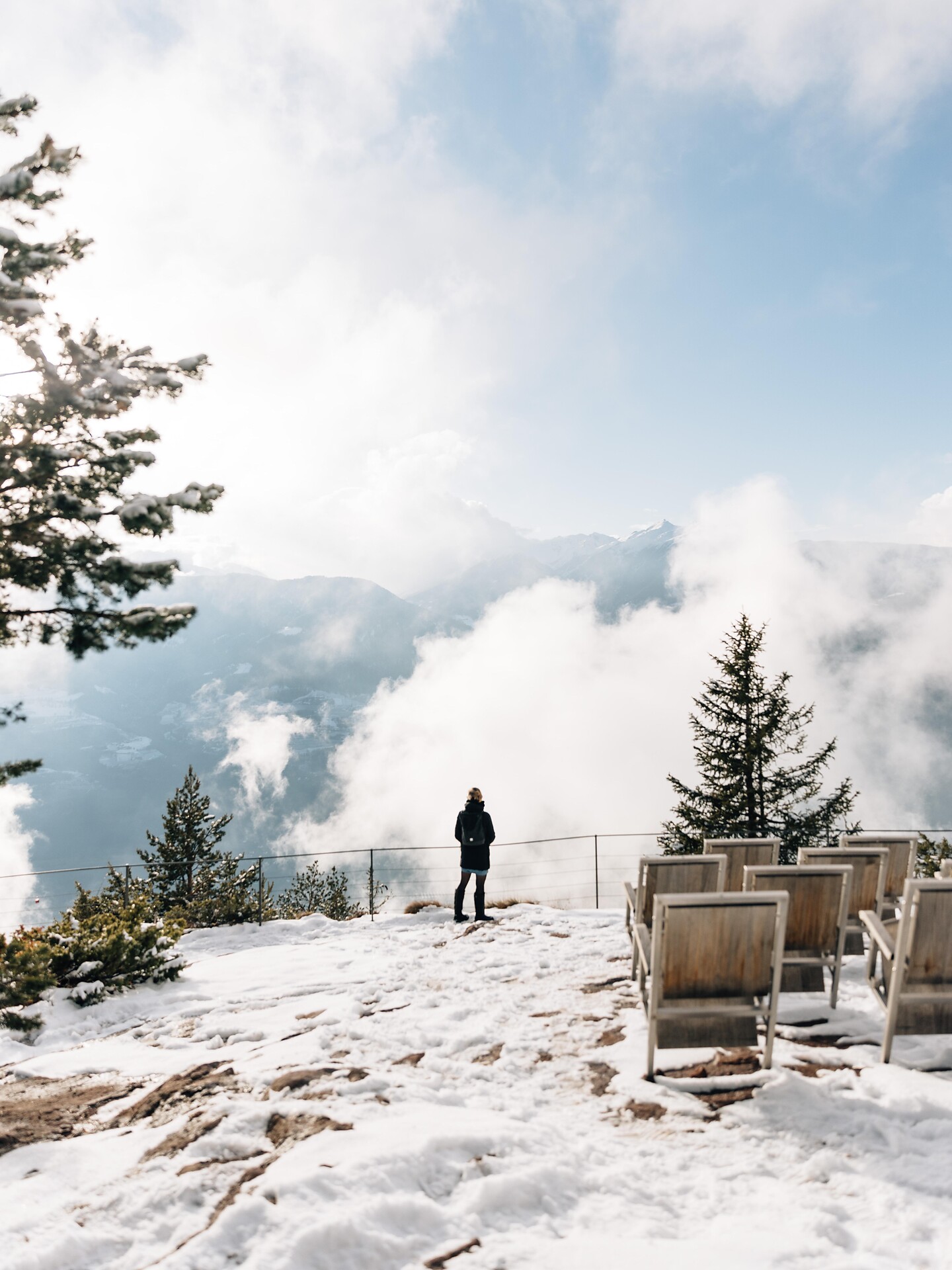
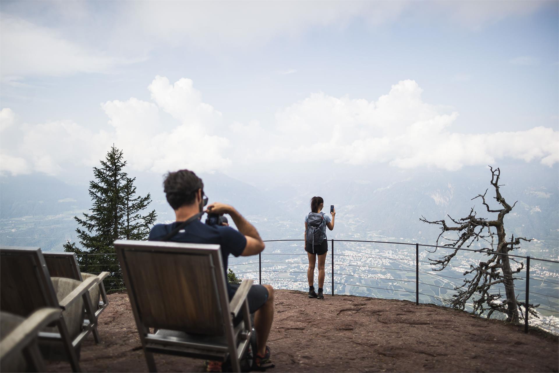
    This short hike to the Zuegg Hütte Mountain Hut on Meran 2000 is particular appealing to families and is a good introductory holiday hike.

    Difficulty: medium
    146 altitude up
    0h:31 min duration
    Hiking
    Steinzger Alm hut
    Rasen-Antholz/Rasun Anterselva, Dolomites Region Kronplatz/Plan de Corones

    From the end of the lake > turn right > follow mark n. 7 > Steinzgeralm.

    Tip: From the Steinzgeralm you can walk on for 30 minutes reaching the "Obere Steinzgeralm" at 2,079 m > path n. 7 > Staller Saddle.

    Difficulty: medium
    284 altitude up
    1h:13 min duration
    Hiking
    Knottnkino in Vöran - Short hike
    Vöran/Verano, Meran/Merano and environs

    The Knottnkino is a lookout point. It's outfitted with thirty cinema seats, where the hikers can take a seat and enjoy the unique experience: nature as cinema. The site overlooks the whole of the Adige Valley so visitors enjoy stunning views that encompass the Texel Mountains, Mount Penegal, and even Weißhorn farther afield.


    Difficulty: easy
    184 altitude up
    0h:40 min duration
    Hiking
    The Marlenger Waalweg irrigation path beginning from Töll
    Partschins/Parcines, Meran/Merano and environs

    The Marlinger Waalweg is one of the most beautiful irrigation channels in the Meran region. With a length of 12 km, it is the longest irrigation channel path in South Tyrol. It starts in Töll/Tel (municipality of Partschins) and leads through the villages of Forst (municipality of Algund), Marling, Tscherms and Lana. The trail runs almost level along the irrigation channel and is ideal for families and children. Between chestnut groves and extensive orchards, the magnificent views of the Meran basin are inspiring. The ideal hiking time for this irrigation canal trail is spring (when the trees are in blossom) and autumn.

    Difficulty: easy
    443 altitude up
    3h:10 min duration
    Hiking
    Mühlwaal Hiking Circuit along an Age-old Waterway
    Partschins/Parcines, Meran/Merano and environs

    The Mühlwaal along the Wasserfallweg and the Pröfingweg was renovated by the canal guards in 2011. It draws its water from the Zielbach stream, coming from the well-known Zieltal valley, and is used to irrigate the Rabland/Rablà orchards that spread along the east and south sides of the village. In winter, the historic Waal is used for fire fighting by the volunteer fire brigades.

    Difficulty: easy
    128 altitude up
    1h:22 min duration
    Hiking
    To Greitererhof Mountain Inn
    Schenna/Scena, Meran/Merano and environs
    Easy family hike on Schennaberg with a breathtaking view over mountains and valleys awaits you. The Greitererhof Farm features an awesome sandbox with plenty of toys and play items.
    Difficulty: easy
    196 altitude up
    1h:30 min duration
    Hiking
    Meditation walk for families in Vöran
    Vöran/Verano, Meran/Merano and environs

    The eight stations designed of Oswald Kröss will accompany you and will touch important values of your life.

    Difficulty: easy
    82 altitude up
    0h:49 min duration
    Hiking
    Mount Vigiljoch - St. Vigilius church - Naturnser Alm
    Lana, Meran/Merano and environs
    Family hike starting at the Vigiljoch mountain station, from where numerous hiking trails lead to unique places such as the St. Vigilius church. This hike is particularly beautiful in autumn, when larches and blueberry bushes glow brightly.
    Difficulty: easy
    410 altitude up
    3h:00 min duration
    Hiking
    Knottnkino in Vöran
    Vöran/Verano, Meran/Merano and environs

    The Knottnkino (Knott meaning rock, kino meaning cinema) is one of the most beautiful viewpoints in Vöran/Verano and is located upon the Rotstein Knott mountain. In the seats made from steel and chestnut wood designed and positioned by the artist Franz Messner from Ritten/Renon, one can enjoy unique views of the Texelgrupperange all the way to Penegal mountain and the Weißhorn peak, as though sitting comfortably in a cinema. But the film is always changing in the Knottnkino: daily, hourly, with the time of day and the changing of the season, with the climate and weather, there is always something new to see...

    Difficulty: medium
    326 altitude up
    2h:40 min duration
    Hiking
    Winter hiking - Ponticello/ Brückele - Prato Piazza/ Plätzwiese
    Prags/Braies, Dolomites Region 3 Zinnen

    Easy hike to one of the most beautiful alpine plateaus in South Tyrol amidst the Fanes-Senes-Braies Nature Park. From Ponticello/ Brückele (car park) you go for ½ km along the road and then along the winter hiking path. The last section leads along the road to the alpine plateau. Once at the plateau the alpine guesthouse invites you in.

    Please note: Due to the temperature fluctuations, there may be icy patches on the trails and we therefore recommend the use of crampons!


    Difficulty: medium
    561 altitude up
    2h:17 min duration
    Hiking
    Skihütte - Valcroce Circular Hiking Tour
    Brixen/Bressanone, Brixen/Bressanone and environs

    Follow the Plosestraße road to the Finktal Valley, then turn right uphill along trail no. 7), This leads partly over the Kreuztal meadows (used as ski slopes in winter). Continue to the east via trail no. 17, known as the "Woody Walk", then to the right descending to the Skihütte mountain restaurant. Return briefly to the paved street, then turn to the left (trail no. 8) on to the forest trail before a last brief stretch on the paved road leading down to the mountain village of Plancios/Palmschoss.

    Difficulty: medium
    0 altitude up
    3h:10 min duration
    Hiking
    Winter hiking path: Following in the tracks of the ancient romans
    Kiens/Chienes, Dolomites Region Kronplatz/Plan de Corones

    A stroll through times long gone

    More than 2000 years ago, the Pusteria/Pustertal valley was put under the administrative control of the Roman Empire. Today, a stroll through Casteldarne/Ehrenburg reveals many a witness of the times when the valley formed part of the Noricum Province, formerly a vast Celtic kingdom. A 2 m column sculpted from quartz phyllite is one of the best-preserved Roman milestones. Erected under the rule of Emperor Lucius Septimius Severus Augustus, it marks the distance to the Roman city of Aguntum near Lienz in East Tyrol. The magnificent Ehrenburg Castle, which dates back to 1250, is another sight not to be missed. Casteldarne/Ehrenburg with its traditional wooden fences and pretty dry stone walls, is the ideal place to stop, sit back, and take in the marvelous views of the soft-rolling meadows and craggy peaks of the Fundres/Pfunders massif.
    There are a number of inns to take a well-deserved break at: Gasthof Gatterer, Gasthof Obermair, Bar Cafè Pub Karo, and Hotel zur Post.

    Difficulty: easy
    50 altitude up
    1h:30 min duration
    Hiking
    Monte S. Vigilio/Vigiljoch to Colle Scabro/Rauher Bühel
    Lana, Meran/Merano and environs

    Take the cable car and the chair lift up. About sunny plateaus teaseling Bühel on Vigiljoch. The road (Mark. 4) leads slightly downhill to the west, crosses the path of a small ski lift and leads between the inn and the church of St. Jocher.

    From there you follow the markings 9-30 in moderate ascents through the forests to the south and southwest. From a large clearing, which can be reached on the southern edge, suddenly the rough Bühel is right diagonally forward to identify on which (unfortunately) are an antenna system and a hunter high level. The direct descent to Naturnser Alm is possible, but more difficult. The short descent back to the gate and the circumnavigation is also the next hilltop, where you a beautifully located plateau crossed by the north (Mark. 9B) and short to Naturnser Alm (no winter) descends.

    From Naturnser Alm it's off to Mark. 30 in the north-east mainly through forest back to San Vigilio.

    Difficulty: medium
    217 altitude up
    3h:30 min duration
    Hiking
    Mölten - Lingeralm
    Mölten/Meltina, Bolzano/Bozen and environs

    The Malga Lingeralm is located above the village Meltina in the middst of the sunny high plateau Tschögglberg. From here you have an excellent panoramic-view. For small and large is provided with a sun terrace and a small children's playground with swing. Typical South Tyrolean dishes and cakes are offered.

    Difficulty: easy
    202 altitude up
    0h:43 min duration
    Hiking
    To the Ochsenberg alpine pasture
    Vinschgau/Val Venosta
    At the beginning of the hike, starting from the hamlet Kapron in Langtaufers valley, it is difficult to imagine the paradise that awaits you: The first ascent to the Ochsenberg mountain is fairly steep, but flattens after the first part of your hike. After 30 minutes you are surrounded by the most beatutiful scenery, at which to marvel. By following the path no. 14 you soon reach the Ochsenbergalm alpine pasture (not farmed) with the chapel St. Wendelin located at 2,160 m in the middle of this beautiful valley. The way back to Riegl follows the same route as the one going there.
    Note: After the first few metres of the hike, a small signposted path branches off the main route. This is a very steep shortcut to the alpine pasture.
    Difficulty: medium
    510 altitude up
    2h:30 min duration
    Hiking
    Möltner Kaser
    Mölten/Meltina, Bolzano/Bozen and environs

    The Möltner Kaser is below the Stoanernen Mandlen and is a very beautiful alpine pasture with restaurant

    Difficulty: medium
    372 altitude up
    1h:08 min duration
    Hiking
    Orecchia di Lepre
    Latsch/Laces, Vinschgau/Val Venosta

    High mountain tour to the peak that dominates Laces – an "easy" three-thousander

    Difficulty: difficult
    1362 altitude up
    5h:05 min duration
    Hiking
    Knottnkino - Hike starting from Hafling
    Hafling/Avelengo, Meran/Merano and environs

    The Knottnkino in Vöran/Verano is a lookout point. It's outfitted with thirty cinema seats, where the hikers can take a seat and enjoy the unique experience. The site overlooks the whole of the Adige Valley so visitors enjoy stunning views that encompass the Texelgruppe Mountains, Mount Penegal, and even Weißhorn farther afield.

    Difficulty: medium
    507 altitude up
    3h:58 min duration
    Hiking
    The Apple walk - Apple educational trail with quiz
    Partschins/Parcines, Meran/Merano and environs

    At 12 stations, we will share fascinating details about apple cultivation with you. Simply scan the QR code at each station to gain immediate access to explanatory videos and information. Then, at each station, you'll encounter questions with 4 answer options. If you answer all questions correctly, you can pick up a gift at the Partschins tourist office. Have fun!

    Difficulty: easy
    118 altitude up
    0h:58 min duration
    Hiking
    To the little St. Kathrein Church
    Hafling/Avelengo, Meran/Merano and environs

    The famous little church in St. Kathrein is situated on a rise in Hafling and can be seen from far away in Meran and Environs. The Romanesque church has its origins in the 13th century and features well-preserved frescos from the 14th century. Fantastic views of the city of Meran as well as the Texelgruppe range can be enjoyed from the church.

    Difficulty: easy
    89 altitude up
    0h:45 min duration
    Hiking
    Easy hike from Vöran to Hafling
    Hafling/Avelengo, Meran/Merano and environs

    This easy hike from Vöran/Verano to Hafling/Avelengo is suitable for everyone and even doable with a stroller. There are several places to stop and eat along the way -all of which have terraces with delightful views.

    Difficulty: easy
    150 altitude up
    1h:45 min duration
    Hiking
    Knottnkino in Vöran - start at the bus stop "Alpenrose"
    Burgstall/Postal, Meran/Merano and environs

    The Knottnkino is a lookout point. It's outfitted with thirty cinema seats, where the hikers can take a seat and enjoy the unique experience: nature as cinema. The site overlooks the whole of the Adige Valley so visitors enjoy stunning views that encompass the Texel Mountains, Mount Penegal, and even Weißhorn farther afield.

    Difficulty: easy
    180 altitude up
    0h:40 min duration
    Hiking
    To Leadner Alm Mountain Hut
    Vöran/Verano, Meran/Merano and environs

    This hike is an easy and family-friendly route which can even be done with a buggy. The Weiher Bruggen pond is one of the attractions: it is a resting place for young and old. Parents can enjoy the view toward the Ifinger mountain whilst children can admire the many fish in the pond.

    Difficulty: easy
    276 altitude up
    2h:15 min duration
    Hiking
    Brugger Alm Alpine Pasture – Zerzertal valley in winter
    Mals/Malles, Vinschgau/Val Venosta
    Explore the snow-covered winter landscape in the idyllic Zerzertal valley towards the Brugger Alm. A beautiful, moderately difficult snowshoe or winter hike with picturesque views.
    No refreshments available at the Brugger Alm.
    Difficulty: medium
    504 altitude up
    2h:47 min duration
    Hiking
    To the mountain hut Maseben
    Vinschgau/Val Venosta
    Kappl, a hamlet at the far end of Langtaufers valley, is the starting point of the hike and also the place where the car park is located. From there you walk towards the out of service Maseben ski-lift station, cross the Karlinbach river, climb up the former ski slope to the forest road signposted no. 15 on your left for about 600m, then keep to the right on the path signposted no. 19. Via the forest road, you climb through the forest, passing the old mid station, the Masebener Alm alpine pasture and the ski-lift, which is still in use in winter, and you reach your destination, the Maseben mountain hut. Once you arrive at the mountain hut, you can enjoy an amazing panoramic view of the surrounding mountains at 2,200m. The descent follows the same route as the one going up.
    Note: There is also an option to take the shuttle service, which takes guests to the mountain hut via an adventurous journey.
    Difficulty: medium
    445 altitude up
    2h:45 min duration
    Hiking
    Mühlbacher Badl
    Gais, Dolomites Region Kronplatz/Plan de Corones

    The „Badl im Mühlbacher Talele“ is the highest spa in the Puster valley. It is situated in the beautiful national park Rieserferner, about 1700 m above sea level.

    Difficulty: easy
    107 altitude up
    0h:30 min duration
    1 2 3 4 5 6 7 8 9 10 11 12 13 14 15 16